MISSION
Capture, understand, organize, and transform physical environments.
We create accurate digital assets that support better design, construction, planning, preservation, management, and public engagement.
XYZ · EST. 2018 · LEBANON
OUR STORY / 01
XYZ was established in Lebanon in 2018 with a clear purpose: to connect physical spaces with accurate, useful, organized, and accessible digital information.
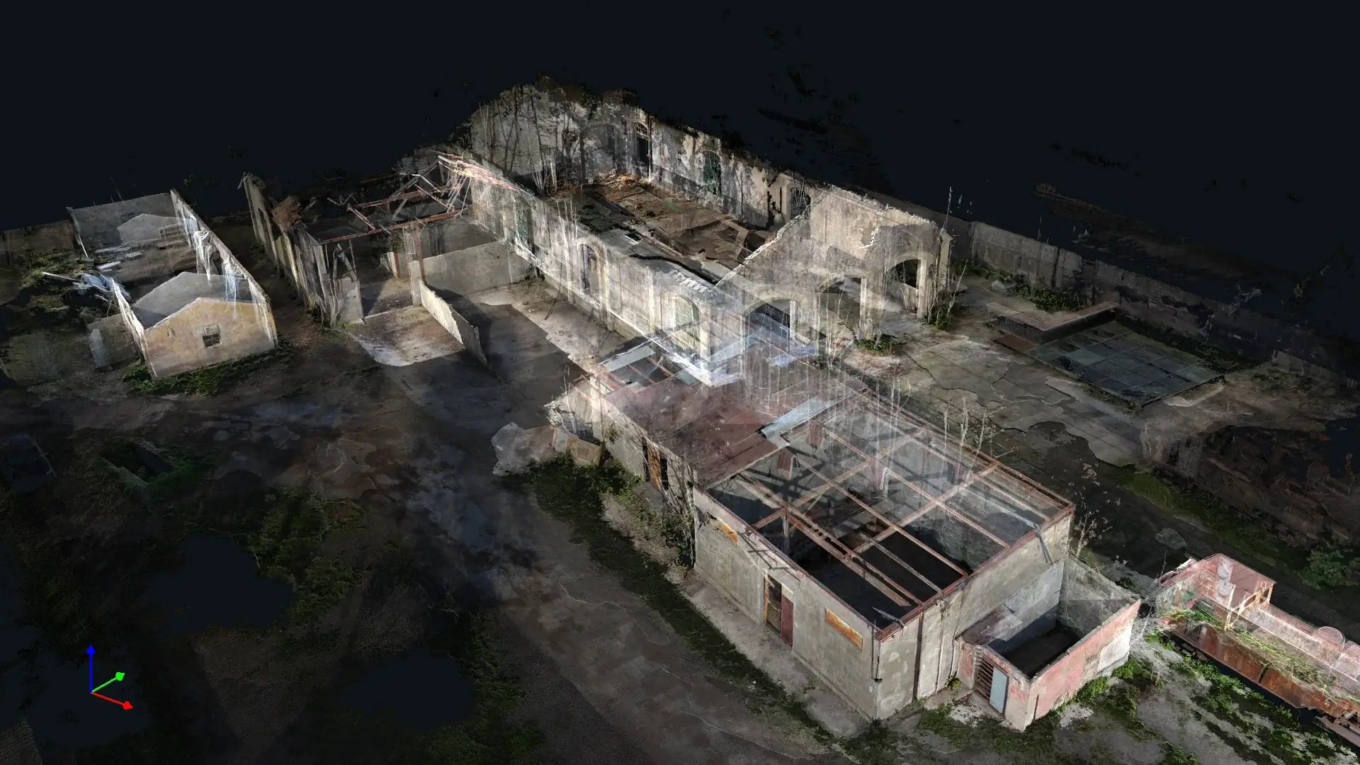
The company began with a focus on 3D scanning and architectural documentation. Its capabilities later expanded into photogrammetry, point-cloud processing, GIS and geospatial systems, Scan-to-BIM, technical drawings, heritage documentation, virtual tours, digital reconstruction, visualization, and immersive experiences.
Today, XYZ supports projects across architecture, engineering, construction, heritage, restoration, archaeology, tourism, project management, industrial facilities, geographic information systems, environmental documentation, and digital communication.
The team operates from Lebanon while collaborating with clients and partners across Europe, the Middle East, and Africa. This structure enables XYZ to undertake complete projects or serve as a remote processing and production partner.
MISSION
We create accurate digital assets that support better design, construction, planning, preservation, management, and public engagement.
VISION
Combining technical precision with architectural, geographic, and cultural understanding across reality capture, GIS, documentation, and spatial experiences.
Principles
Technology changes. The responsibility to produce clear, useful, and contextual information does not.
Define, verify, and communicate the reliability required by each assignment.
Protect project context, source limitations, confidentiality, and long-term usefulness.
Ask how a place works, what the data means, and how people will use it.
Connect clients, field teams, production specialists, and decision-makers.
Shape methods and deliverables around site conditions and project purpose.
Treat architecture, geography, history, and culture as part of the technical brief.
Make complex spatial information understandable and actionable.
Organize assets so they remain valuable beyond the immediate issue.
Multidisciplinary production
XYZ’s team brings together architects, surveyors, modelers, point-cloud specialists, GIS production support, and project professionals.
This structure allows the company to understand both how spaces are captured and how the resulting information will be used by designers, engineers, contractors, researchers, planners, asset owners, government entities, and the public.
XYZ · PROJECT INTAKE
XYZ can manage the field-to-deliverable workflow or join your team as a focused remote production partner.
Discuss the Assignment