
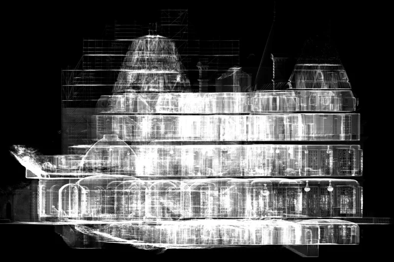
 France
Château de Glaignes Digital Survey
An integrated heritage workflow covering site capture, data processing, and architectural drawing production in France.
SERVICE / 05
XYZ supports scanning and surveying teams with remote point-cloud registration and processing from Lebanon. We review client-supplied scans, control information and capture notes, then prepare coordinated datasets for BIM, CAD, GIS or visualization. File structures and review stages follow the agreed project requirements.
Discuss this serviceTypical client needs
XYZ approach
Receive data through a structured and confidential handoff
Review control, capture notes, file structures, and required outputs
Register, align, clean, segment, classify, and optimize
Run coordinate and quality checks before issue
Workflow
Possible deliverables
Format and availability depend on project requirements, source-data quality, coordinate system, software environment, intended use, and update process.
QUALITY + VERIFICATION
Registration and georeferencing depend on the available overlap, control and source-data quality. Gaps or missing capture cannot be replaced by processing alone; limitations are identified before downstream modeling or drawing production.
Applicable industries
Related verified work
FranceAn integrated heritage workflow covering site capture, data processing, and architectural drawing production in France.
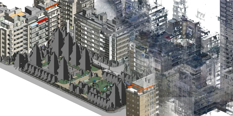 Lebanon
Selected buildings and urban areas in Geitawi were laser scanned and converted into coordinated existing-condition BIM models.
Related services
Questions
Yes. We first review the source files, capture notes, required standards and expected deliverables.
Describe the scanner output, dataset size, available control, intended uses and required formats. Arrange transfer of large scan datasets separately; the enquiry form accepts an initial project brief of up to 5 MB.
XYZ · PROJECT INTAKE
Share the site, available data, required outputs, intended users, and constraints. XYZ will help define the right workflow.
Discuss the Project