
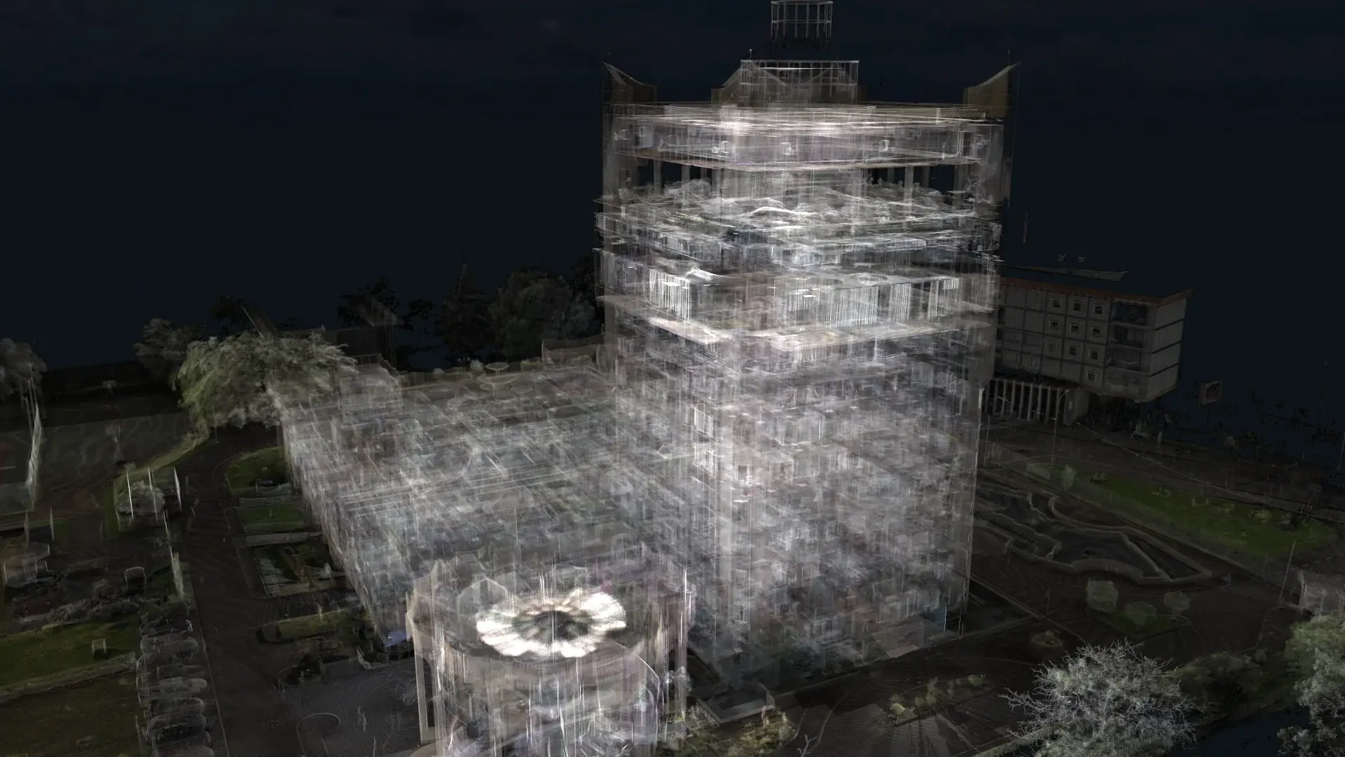
 Congo
CongoCongo Reality-Capture Project
An international reality-capture assignment combining on-site laser scanning, point-cloud processing, and coordinated BIM modeling in Congo.
SERVICE / 06
XYZ converts point clouds and other verified site data into project-specific BIM models. Modeling scope, element classification, level of development, tolerances, and intended uses are agreed before production.
Discuss this serviceTypical client needs
XYZ approach
Agree model purpose, discipline, level of development, and exclusions
Prepare and coordinate the source point cloud
Model selected elements with project-specific classification
Compare the model to source data and issue documented deliverables
Workflow
Possible deliverables
Format and availability depend on project requirements, source-data quality, coordinate system, software environment, intended use, and update process.
QUALITY + VERIFICATION
The level of development and modeling scope are agreed for every assignment; no default LOD is assumed.
Applicable industries
Related verified work
CongoAn international reality-capture assignment combining on-site laser scanning, point-cloud processing, and coordinated BIM modeling in Congo.
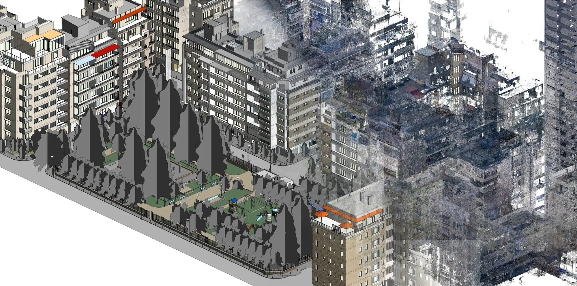 Lebanon
Selected buildings and urban areas in Geitawi were laser scanned and converted into coordinated existing-condition BIM models.
Related services
Questions
LOD, modeled systems, tolerances, exclusions, and information requirements are defined project by project around the intended use.
XYZ · PROJECT INTAKE
Share the site, available data, required outputs, intended users, and constraints. XYZ will help define the right workflow.
Discuss the Project