
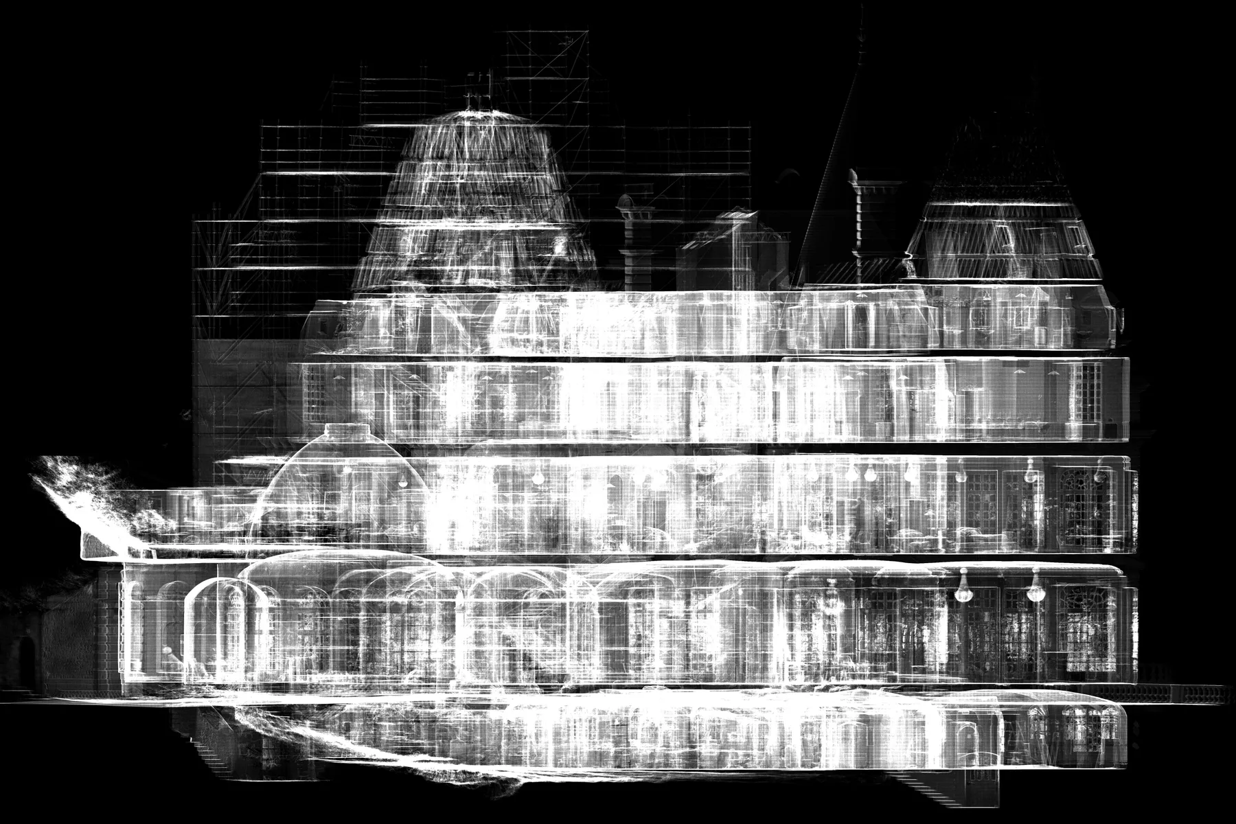
 France
Château de Glaignes Digital Survey
An integrated heritage workflow covering site capture, data processing, and architectural drawing production in France.
SELECTED PROJECT ARCHIVE
An evolving record of XYZ assignments. Newly supplied image collections are clearly marked while their full descriptions and verified metadata are prepared.
18 projects shown
FranceAn integrated heritage workflow covering site capture, data processing, and architectural drawing production in France.
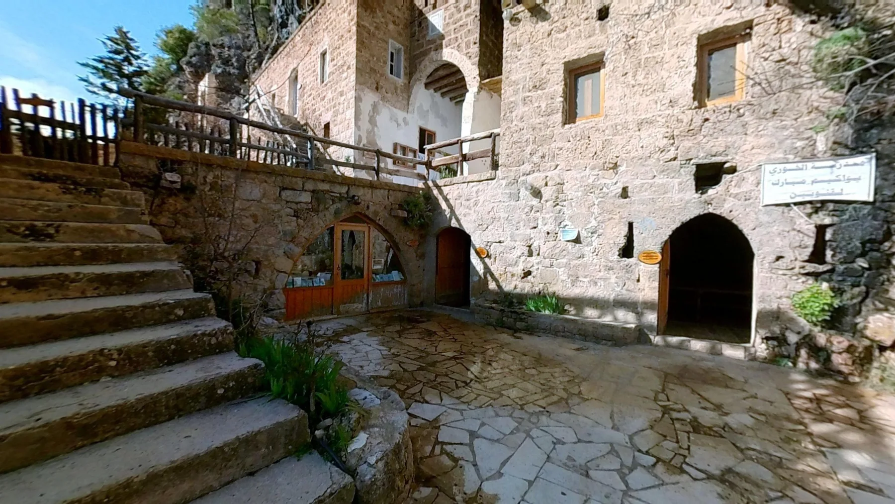 Lebanon
An online experience enabling remote exploration of seven churches within Wadi Qannoubine.
Open virtual tour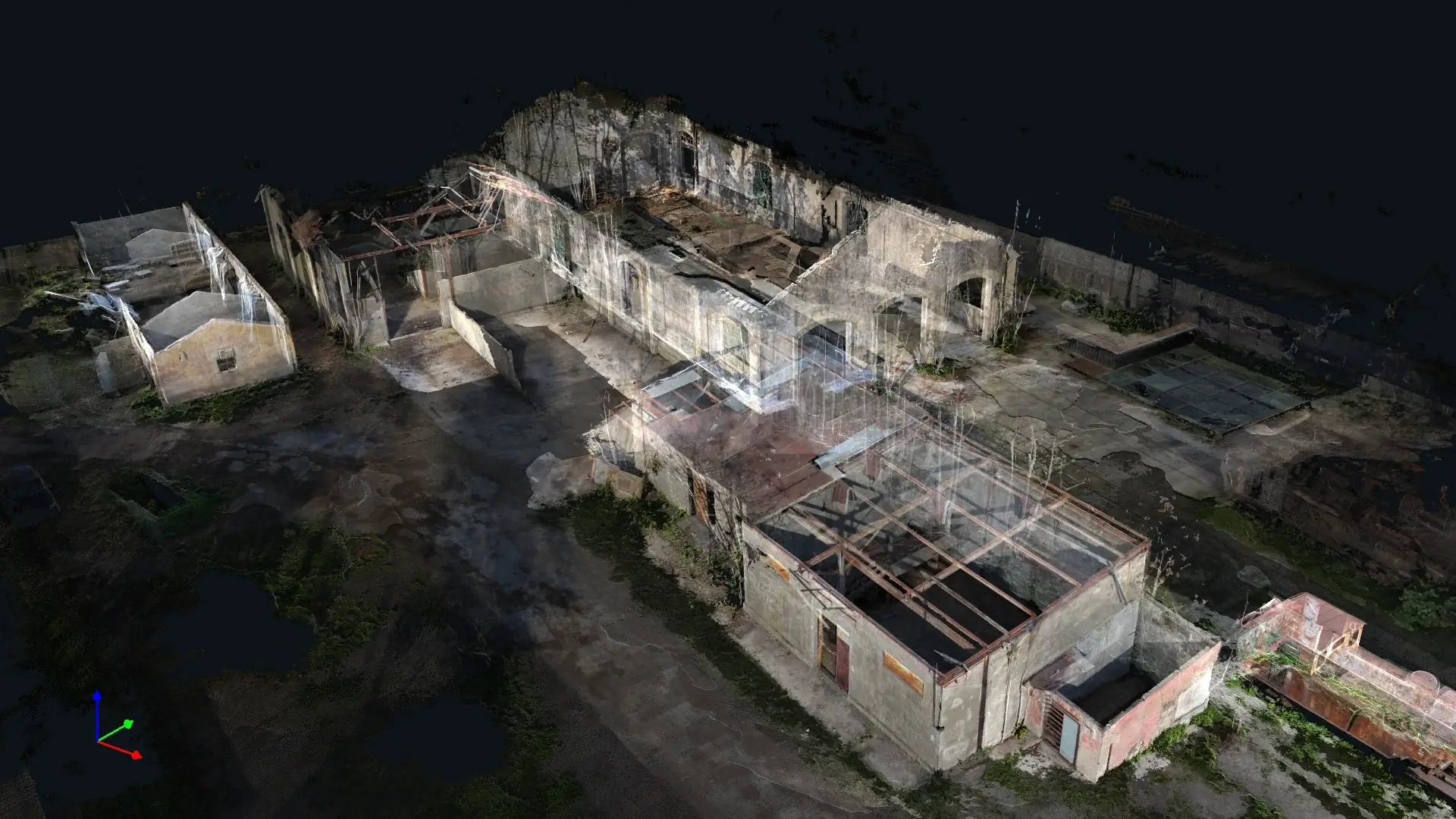 Lebanon
A historical reconstruction and interactive experience exploring the station’s past, present condition, and possible future.
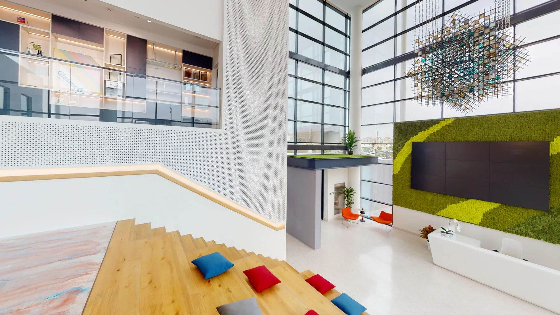 United Arab Emirates
An interactive tour connecting a real project environment with product information and exhibition-ready presentation.
Open virtual tour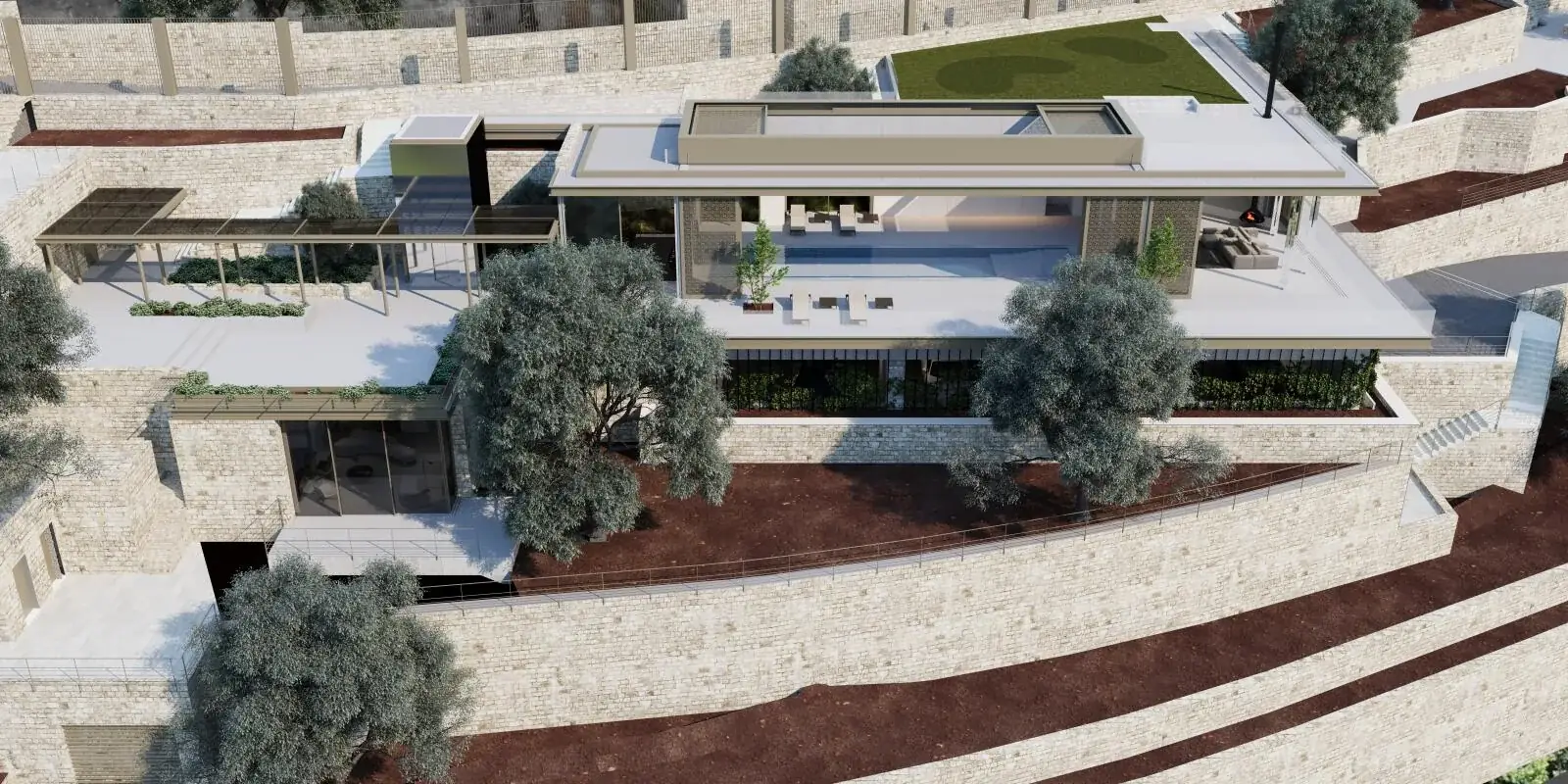 Lebanon
A rendered virtual-tour experience presenting Dlebta Residence through panoramic interiors, exterior spaces, landscape views, and interactive navigation.
Open virtual tour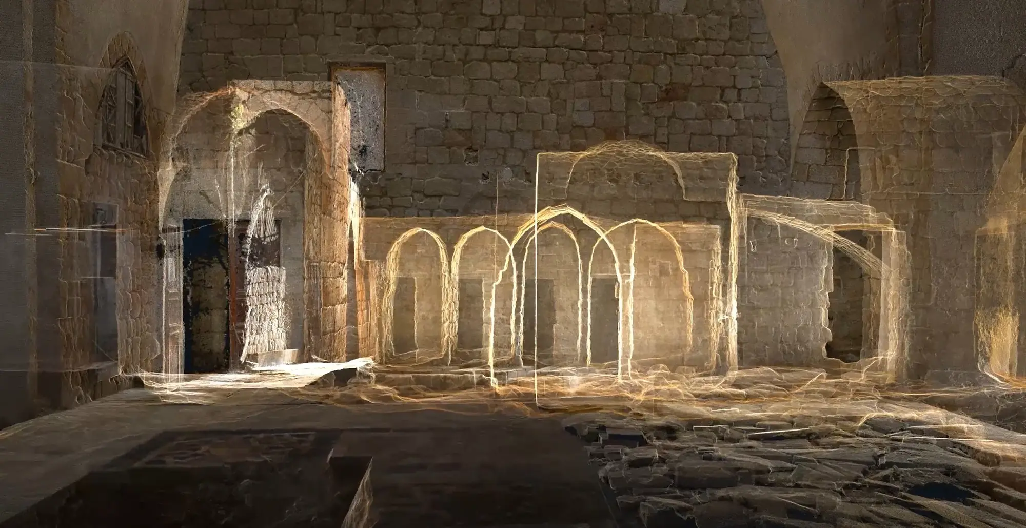 Lebanon
Integrated laser scanning, photogrammetry, and architectural drawing production created an accurate spatial record of Al-Attar Mosque in Tripoli.
 Lebanon
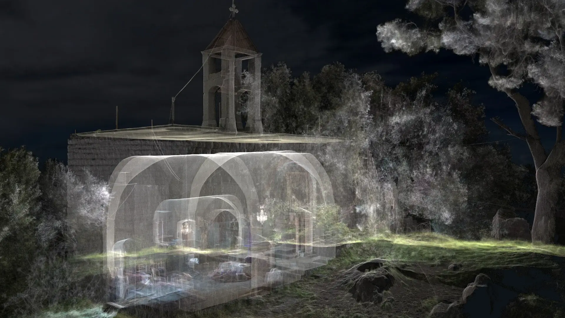
A detailed laser-scanning survey of Ballouneh Church provided the spatial basis for accurate existing-condition architectural drawings.
 Lebanon
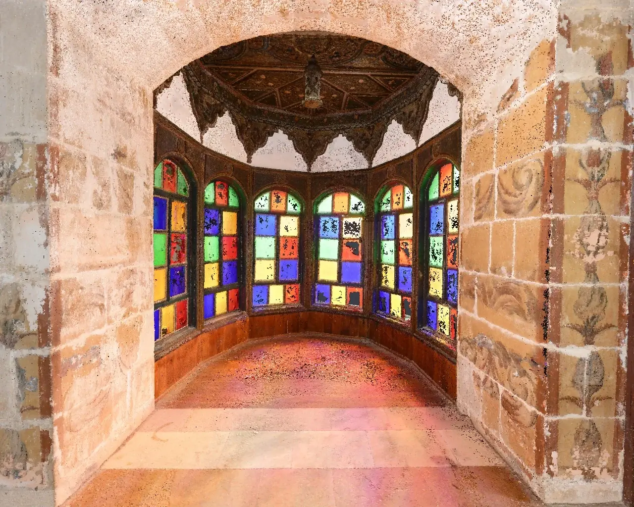
Laser scanning and measured drawing production created a coordinated architectural record of Beiteddine Palace’s complex spaces and decorative fabric.
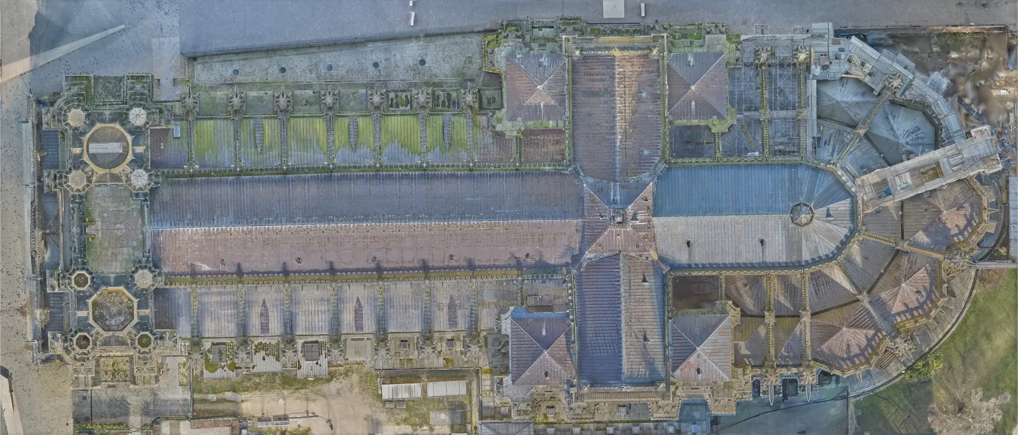 International
A cross-project collection of plans, elevations, sections, reflected ceiling plans, façades, details, and existing-condition records produced by XYZ.
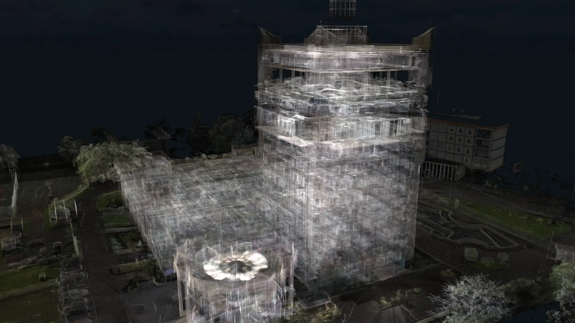 Congo
CongoAn international reality-capture assignment combining on-site laser scanning, point-cloud processing, and coordinated BIM modeling in Congo.
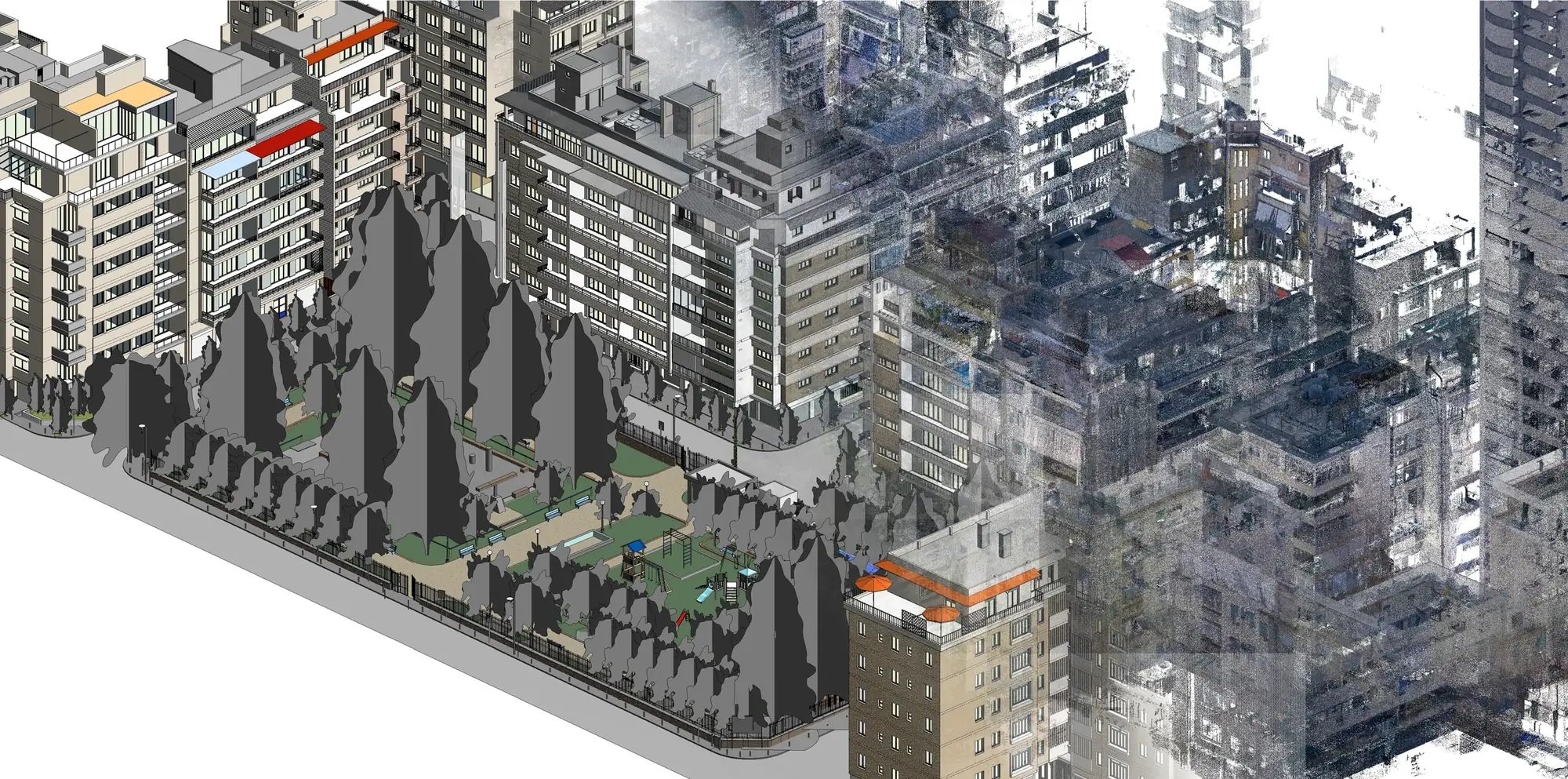 Lebanon
Selected buildings and urban areas in Geitawi were laser scanned and converted into coordinated existing-condition BIM models.
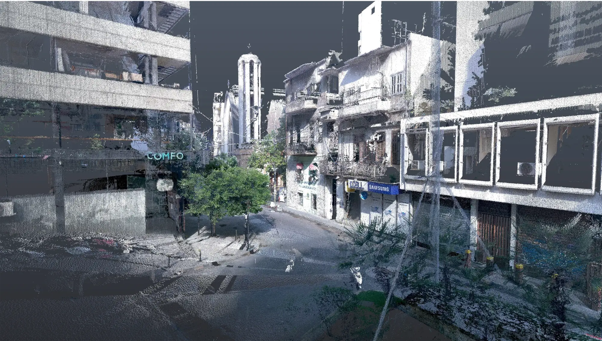 Lebanon
Laser scanning and measured documentation created an accurate digital record of selected buildings and streetscape conditions along Gemmayze Street.
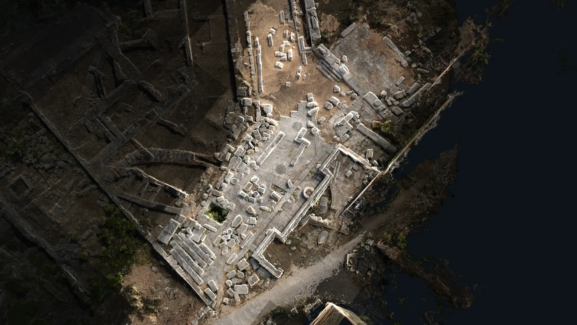 Lebanon
Laser scanning and photogrammetry combined dimensional accuracy with detailed surface and texture documentation at Jbeil Castle.
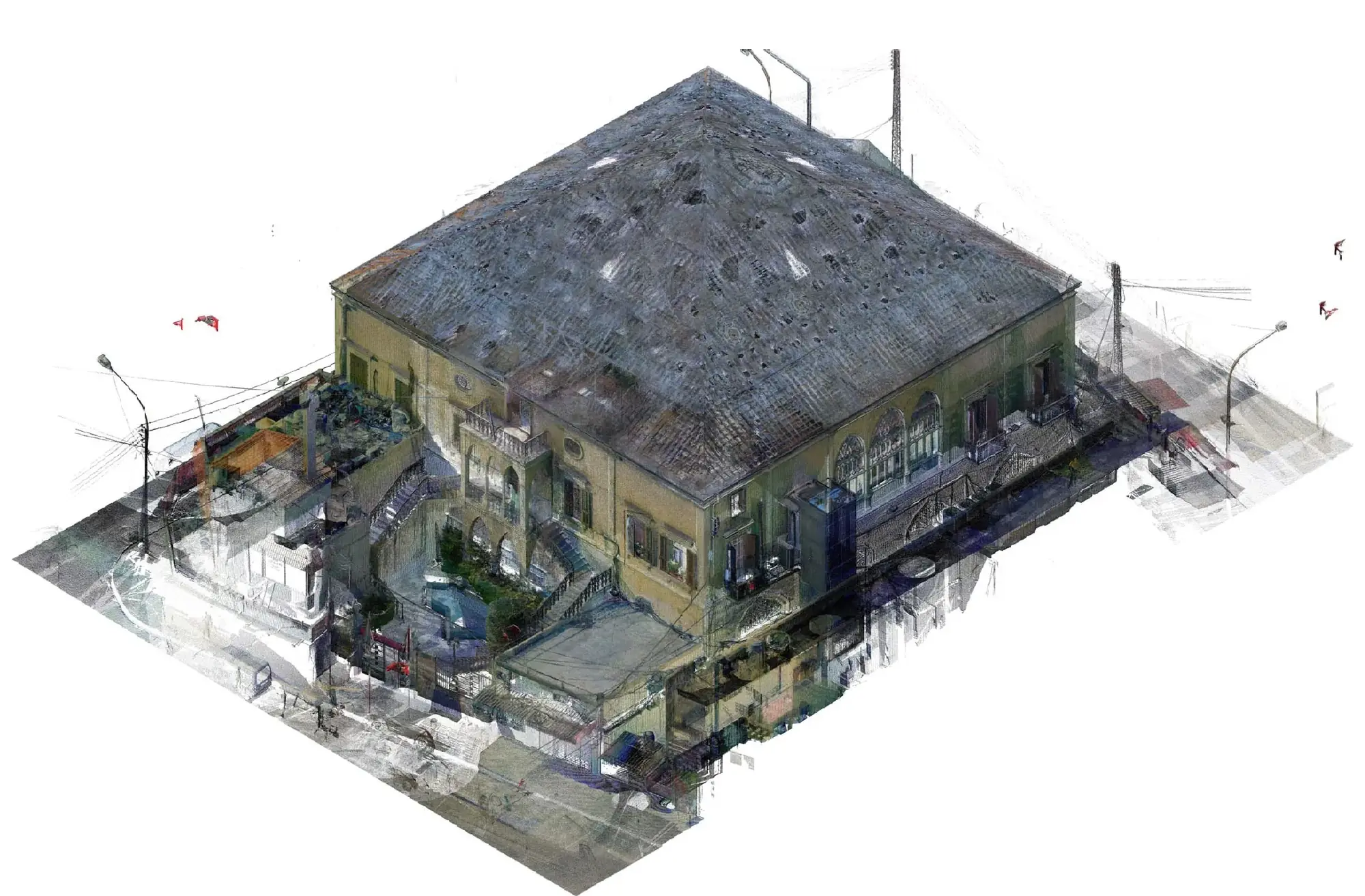 Lebanon
A comprehensive scan, photogrammetry, BIM, and conservation-state workflow documented Nawfal Palace and its visible conditions.
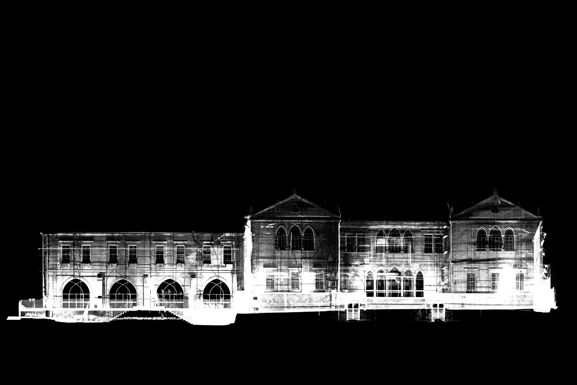 International
A collection of XYZ point-cloud datasets spanning interiors, façades, buildings, monuments, urban areas, infrastructure, and international sites.
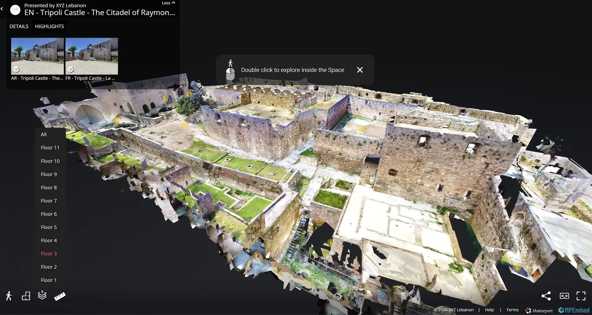 Lebanon
An accurate laser-scanned record of Tripoli Castle was transformed into an interactive virtual-tour experience for remote exploration and interpretation.
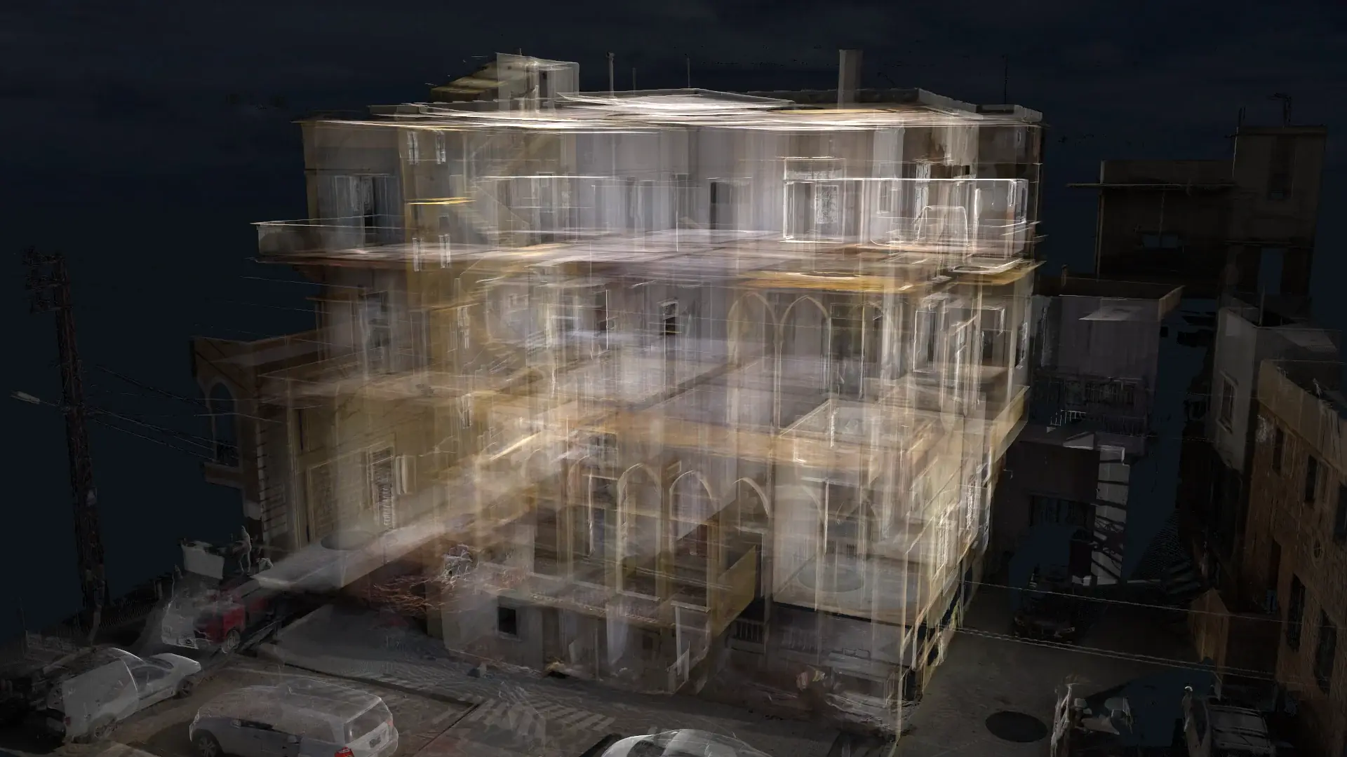 Lebanon
Laser scanning and coordinated 2D documentation created a reliable existing-condition reference for a project in Tyre.
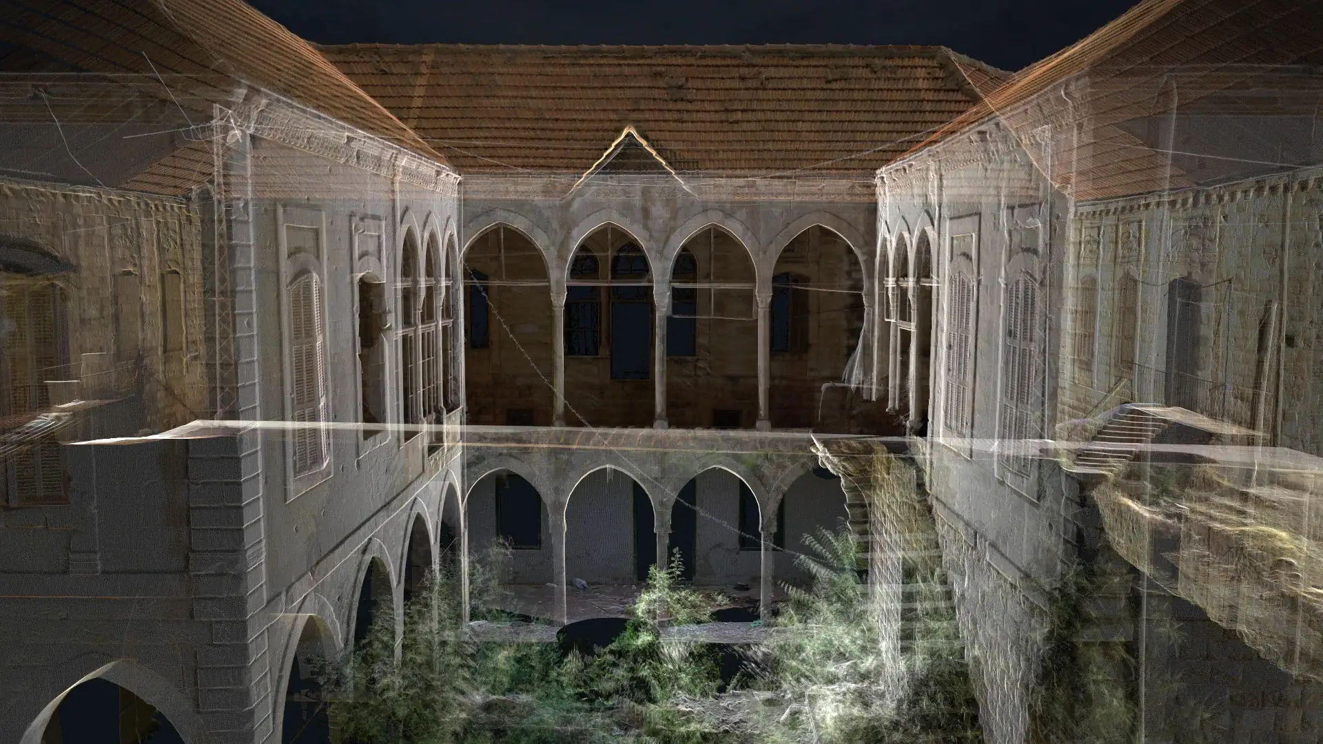 Lebanon
A detailed laser-scanning workflow in Zahle produced a registered point cloud and measured drawings adapted to the project requirements.