
 France
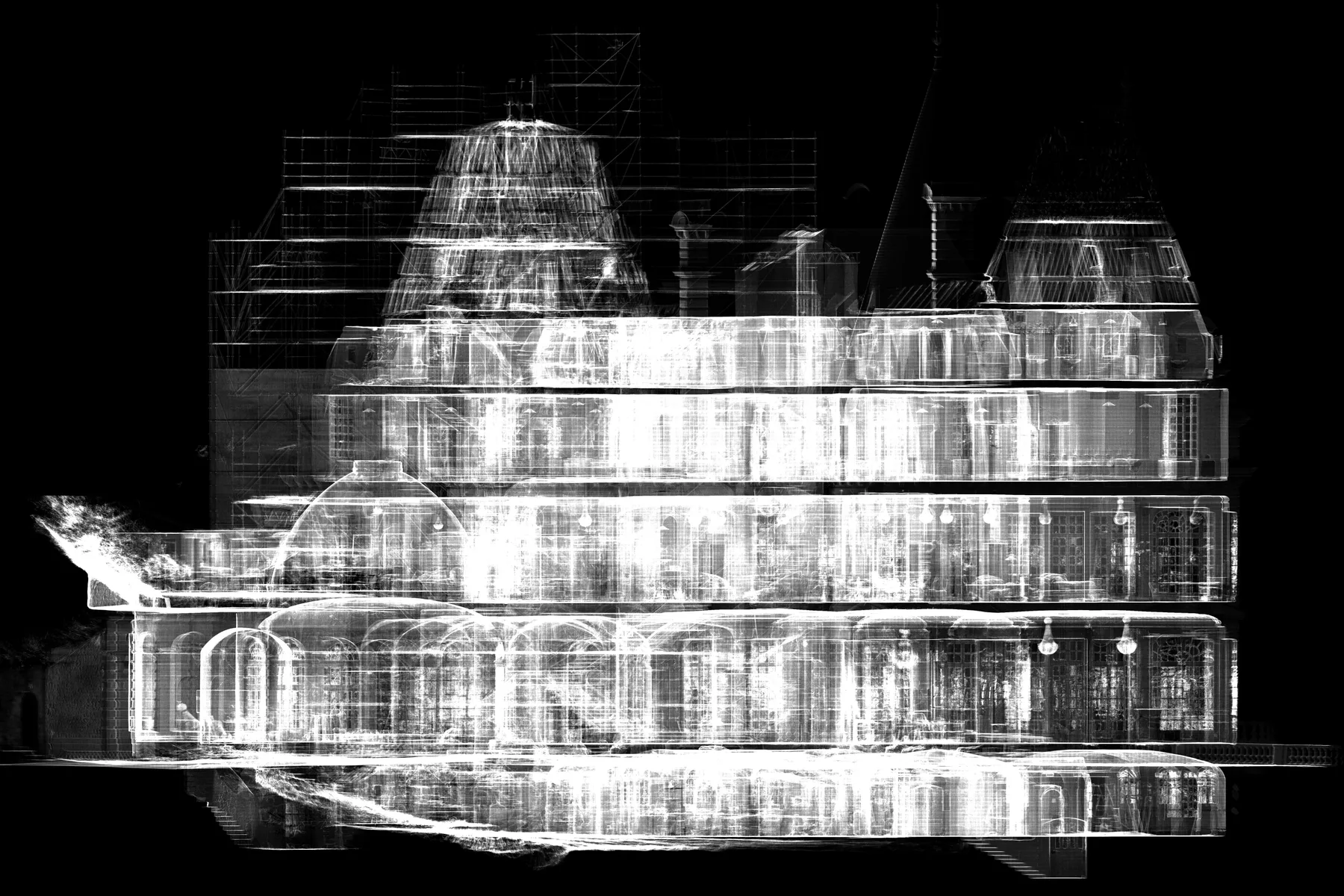
Château de Glaignes Digital Survey
An integrated heritage workflow covering site capture, data processing, and architectural drawing production in France.
SERVICE / 01
XYZ uses laser scanning and LiDAR-based workflows to document physical conditions as structured spatial data. Capture planning is shaped by access, site conditions, required coverage, coordinate requirements, and the intended use of the final information.
Discuss this serviceTypical client needs
XYZ approach
Define accuracy, coverage, access, and coordinate requirements
Plan scan positions and field control around the site
Register, clean, review, and organize captured data
Issue fit-for-purpose files with clear naming and metadata
Workflow
Possible deliverables
Format and availability depend on project requirements, source-data quality, coordinate system, software environment, intended use, and update process.
QUALITY + VERIFICATION
Quality control is embedded from planning and source review through production checks, naming, file organization, metadata, and final deliverable verification.
Applicable industries
Related verified work
FranceAn integrated heritage workflow covering site capture, data processing, and architectural drawing production in France.
 Lebanon
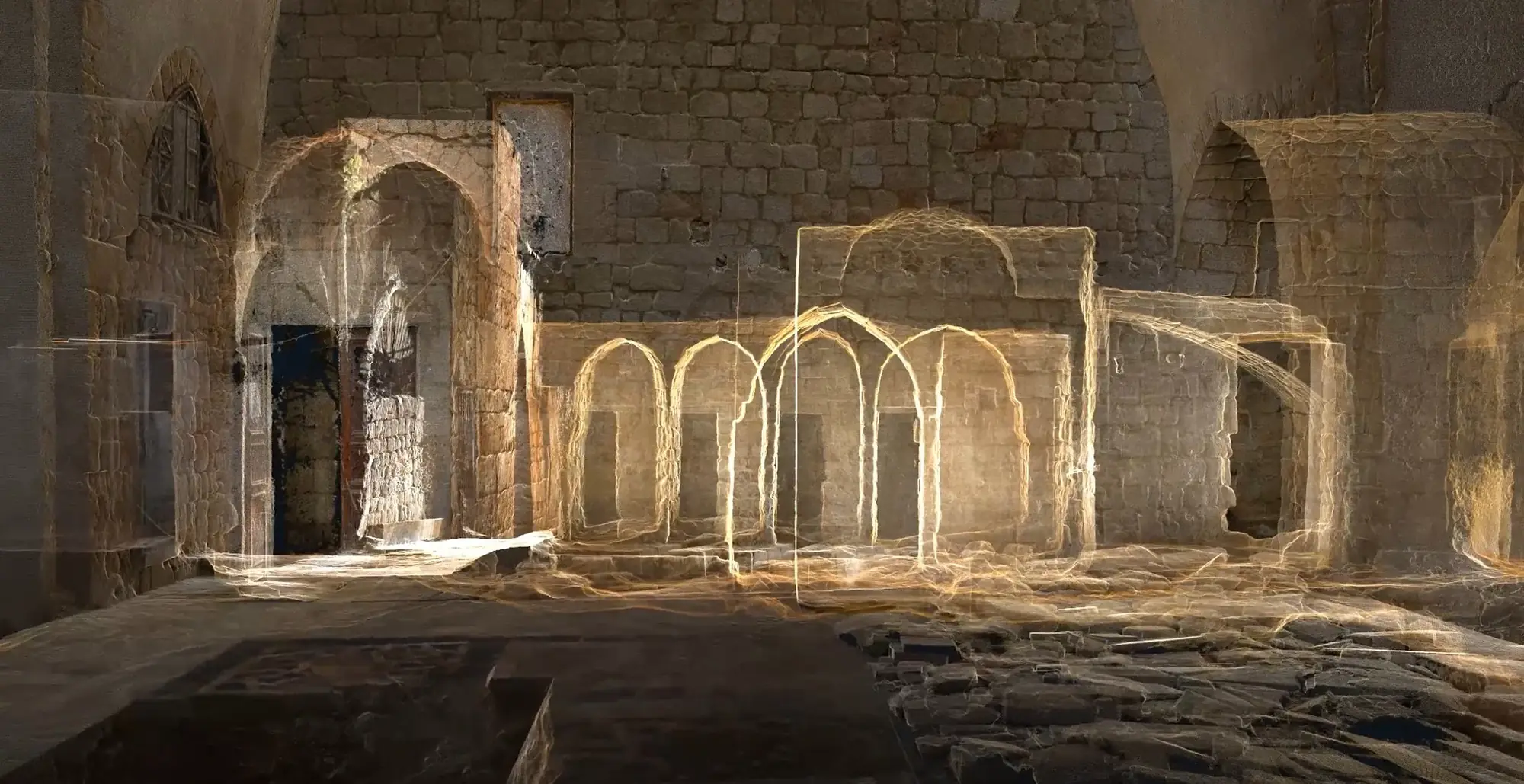
Integrated laser scanning, photogrammetry, and architectural drawing production created an accurate spatial record of Al-Attar Mosque in Tripoli.
Related services
Questions
Accuracy is defined project by project. It depends on equipment, access, site and environmental conditions, capture methodology, project requirements, and the intended use of the information.
Yes, where suitable control and coordinate information are available. The required reference system and verification method are agreed during planning.
XYZ · PROJECT INTAKE
Share the site, available data, required outputs, intended users, and constraints. XYZ will help define the right workflow.
Discuss the Project