
Field Capture
Laser scanning, LiDAR, photography, drone imagery, surveying, and field observations selected around site constraints and intended use.
METHODS + SYSTEMS
XYZ selects capture, geospatial, and production methods according to the site, required accuracy, geographic extent, final use, access, time, coordinate requirements, and preferred deliverables.
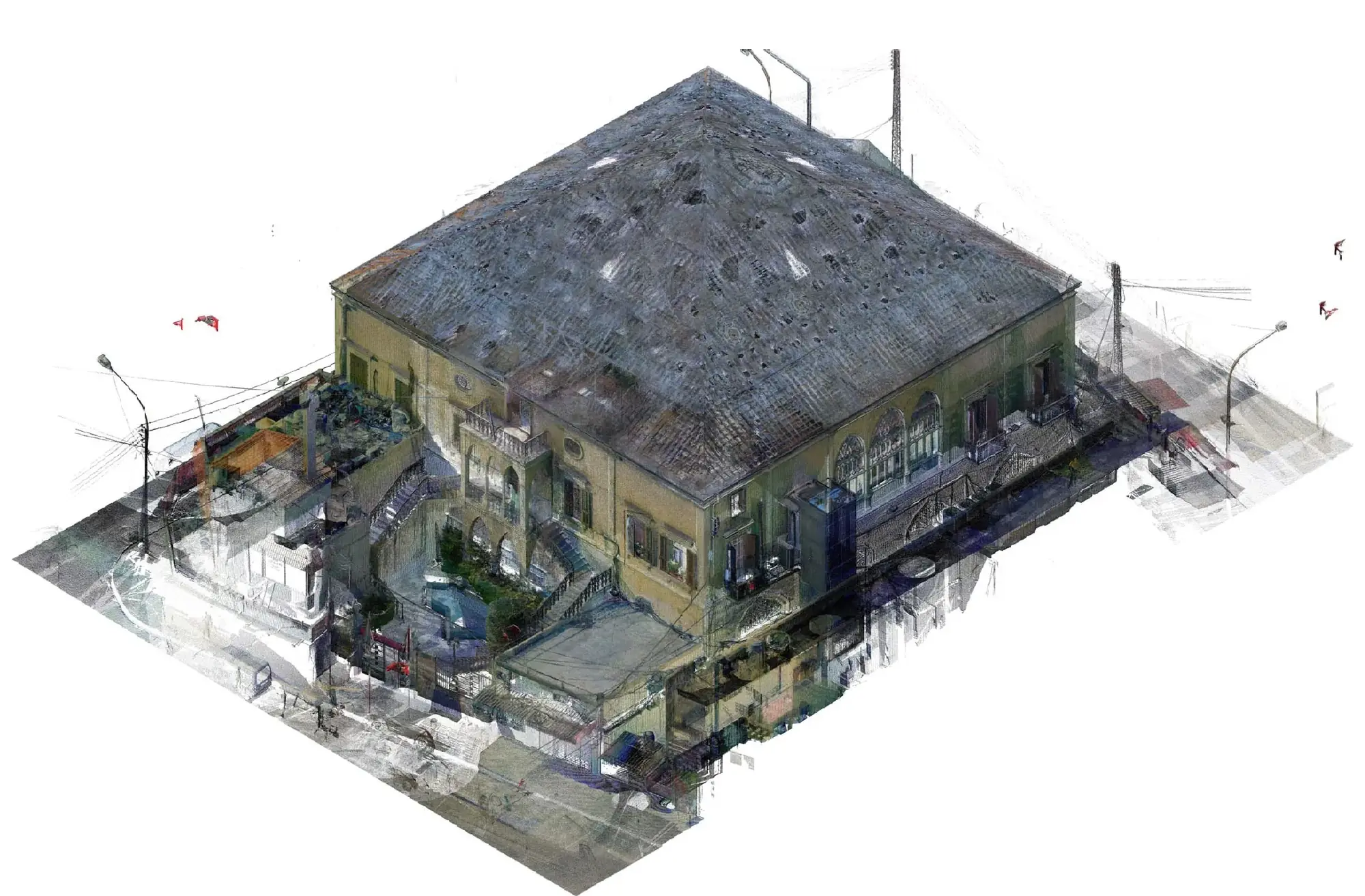
Workflow technology
Equipment and software are tools within a reviewed information workflow—not credentials or ends in themselves.
Laser scanning, LiDAR, photography, drone imagery, surveying, and field observations selected around site constraints and intended use.
Captured datasets are aligned, reviewed, georeferenced where required, and organized around project coordinates and issue structures.
Cleaning, segmentation, optimization, classification, conversion, and preparation for CAD, BIM, GIS, visualization, or archives.
Image alignment, geometric reconstruction, scaling, control, textured models, orthophotos, and georeferenced raster information.
Suitable desktop, database, and web-map environments configured around users, data governance, scale, and required outputs.
Models and drawings produced against agreed purpose, scope, discipline, standards, classifications, and level of development.
Coordinate alignment and selected information exchange between detailed building models and wider geographic systems.
360-degree imagery, plans, maps, hotspots, media, interactive navigation, and web or presentation delivery.
Capture planning, reference review, registration checks, model comparison, GIS validation, drawing checks, and final verification.
Naming, packaging, metadata, issue records, secure transfer, review cycles, and partner-aligned standards.
Known equipment + platforms
General compatibility
GIS + geospatial platforms
XYZ can work with suitable GIS and spatial-data tools depending on client requirements, governance, source formats, coordinate reference systems, update needs, and delivery environment.
File delivery
Availability depends on the project workflow, software environment, source data, scope, and agreed issue requirements.
Point-cloud
BIM + CAD
GIS
3D + visual
QUALITY CONTROL
Quality control is embedded throughout the workflow, from capture planning, coordinate review, registration checks, and georeferencing to model comparison, GIS layer validation, drawing checks, naming conventions, file organization, metadata review, and final deliverable verification.
No ISO certification is claimed on this website.
XYZ · PROJECT INTAKE
Share the site conditions, available data, coordinate requirements, software environment, accuracy needs, and intended deliverables.
Define the Technical Approach