01
3D Laser Scanning
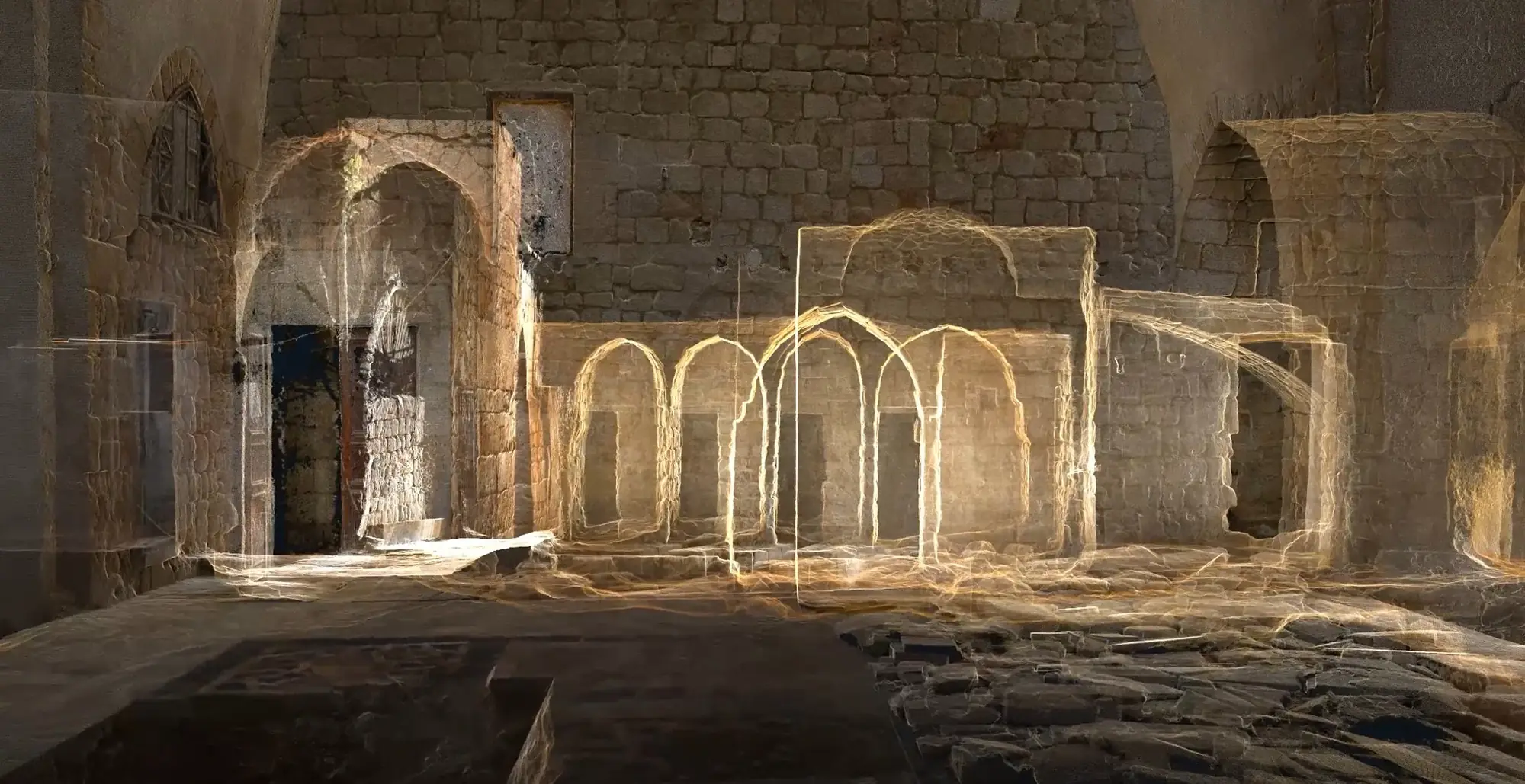
Accurate spatial capture for buildings, interiors, façades, infrastructure, heritage sites, industrial spaces, landscapes, and complex environments.
FIELD + PRODUCTION CAPABILITIES
Capture, processing, geospatial intelligence, models, drawings, records, reconstructions, and experiences—coordinated around what the project needs to achieve.
Service system
Every service can form part of a complete workflow or support one precise stage of a client’s process.
Accurate spatial capture for buildings, interiors, façades, infrastructure, heritage sites, industrial spaces, landscapes, and complex environments.
Measurable, visually detailed 3D information produced from overlapping ground or aerial photography.
Aerial site context, orthophotos, progress records, terrain information, and GIS-ready imagery.
Location-based data structured into clear, coordinated, and usable geospatial systems—from individual assets to entire territories.
Structured remote processing support for international scanning, surveying, architecture, and engineering teams.
Coordinated BIM models derived from captured existing conditions for design, renovation, construction, and management.
Clear drawing packages grounded in captured existing conditions and organized for practical project use.
Sensitive, measurable records that support preservation, restoration, research, risk documentation, and public access.
Interactive spatial experiences for remote access, interpretation, project communication, products, and exhibitions.
Evidence-aware reconstruction of damaged, altered, historic, or inaccessible architecture and places.
Periodic spatial and visual records that help distributed teams understand project change over time.
Purpose-built geometry and visual communication for technical, architectural, historical, and interactive use.
Flexible office-based production capacity for international scanning, surveying, GIS, architecture, engineering, and heritage companies.
XYZ · PROJECT INTAKE
Tell us what needs to be captured, mapped, documented, modeled, reconstructed, or experienced. We will help define the right workflow and deliverables.
Start a Conversation