
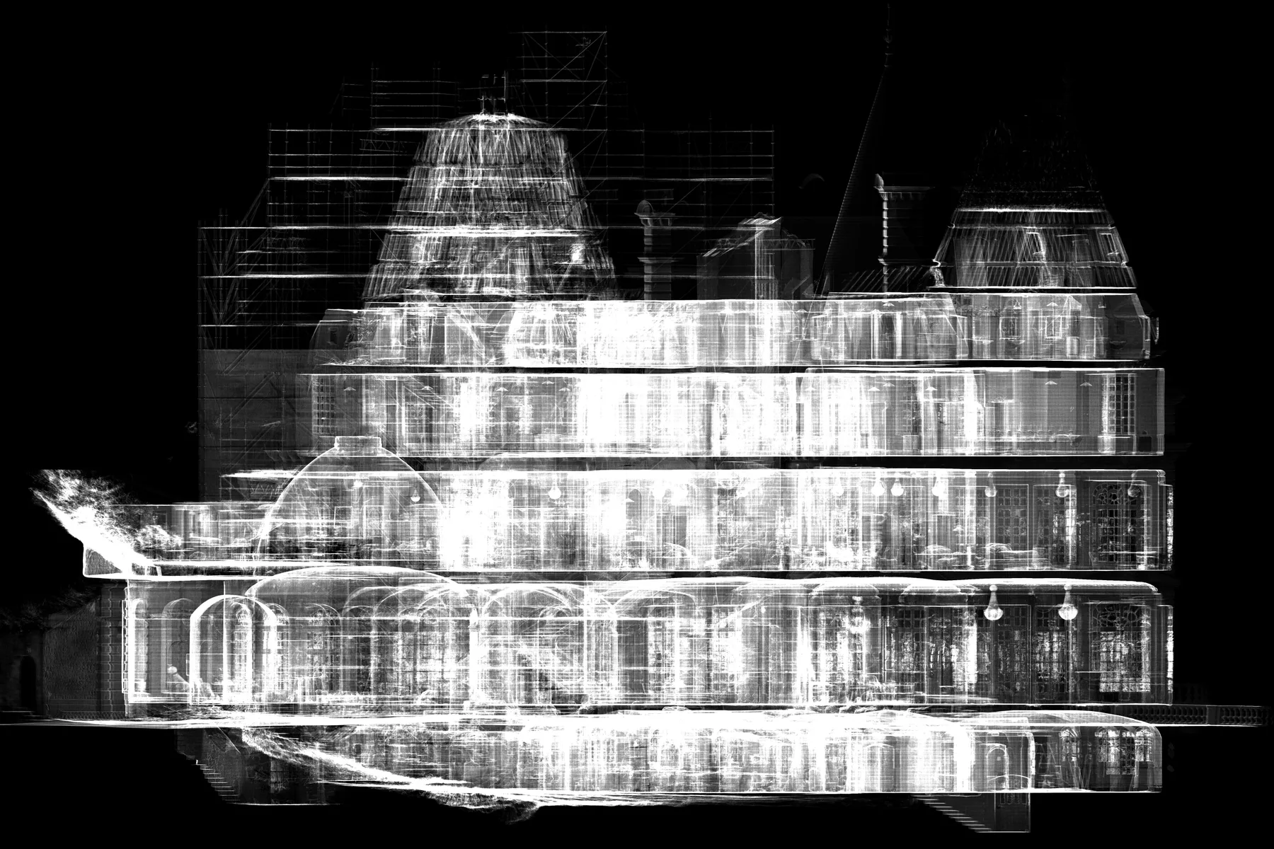
 France
Château de Glaignes Digital Survey
An integrated heritage workflow covering site capture, data processing, and architectural drawing production in France.
SERVICE / 02
XYZ turns coordinated image sets into spatial and visual datasets for architecture, terrain, heritage, documentation, mapping, and communication. Photography may be captured from the ground, by drone, or through a combined workflow.
Discuss this serviceTypical client needs
XYZ approach
Plan coverage, overlap, scale, control, and lighting
Capture or review source imagery
Align images and calculate geometry
Clean, scale, georeference, and validate outputs
Workflow
Possible deliverables
Format and availability depend on project requirements, source-data quality, coordinate system, software environment, intended use, and update process.
QUALITY + VERIFICATION
Quality control is embedded from planning and source review through production checks, naming, file organization, metadata, and final deliverable verification.
Applicable industries
Related verified work
FranceAn integrated heritage workflow covering site capture, data processing, and architectural drawing production in France.
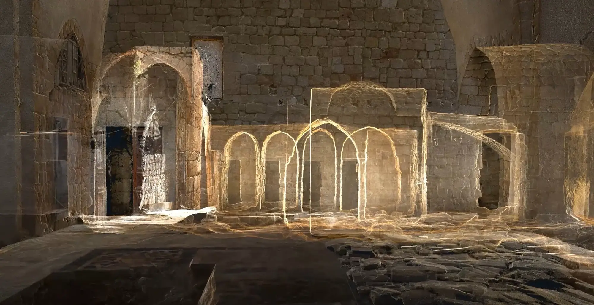 Lebanon
Integrated laser scanning, photogrammetry, and architectural drawing production created an accurate spatial record of Al-Attar Mosque in Tripoli.
Related services
Questions
Not automatically. Georeferencing depends on project control, source information, and intended use. XYZ defines the appropriate method before production.
XYZ · PROJECT INTAKE
Share the site, available data, required outputs, intended users, and constraints. XYZ will help define the right workflow.
Discuss the Project