
PROJECT / 09
Heritage Projects Collection
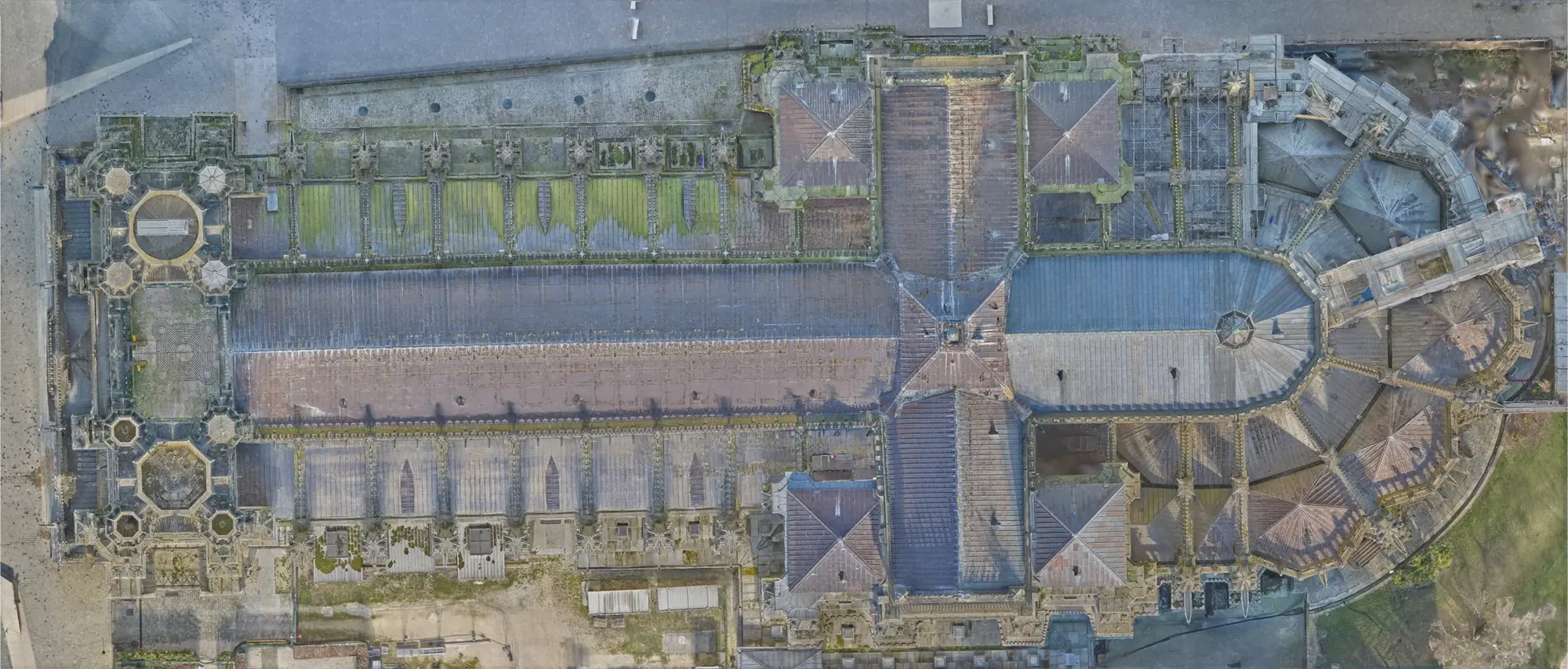 XYZ PROJECT ARCHIVE · USER-SUPPLIED IMAGE
Image archive
Selected views from the project record.

Overview
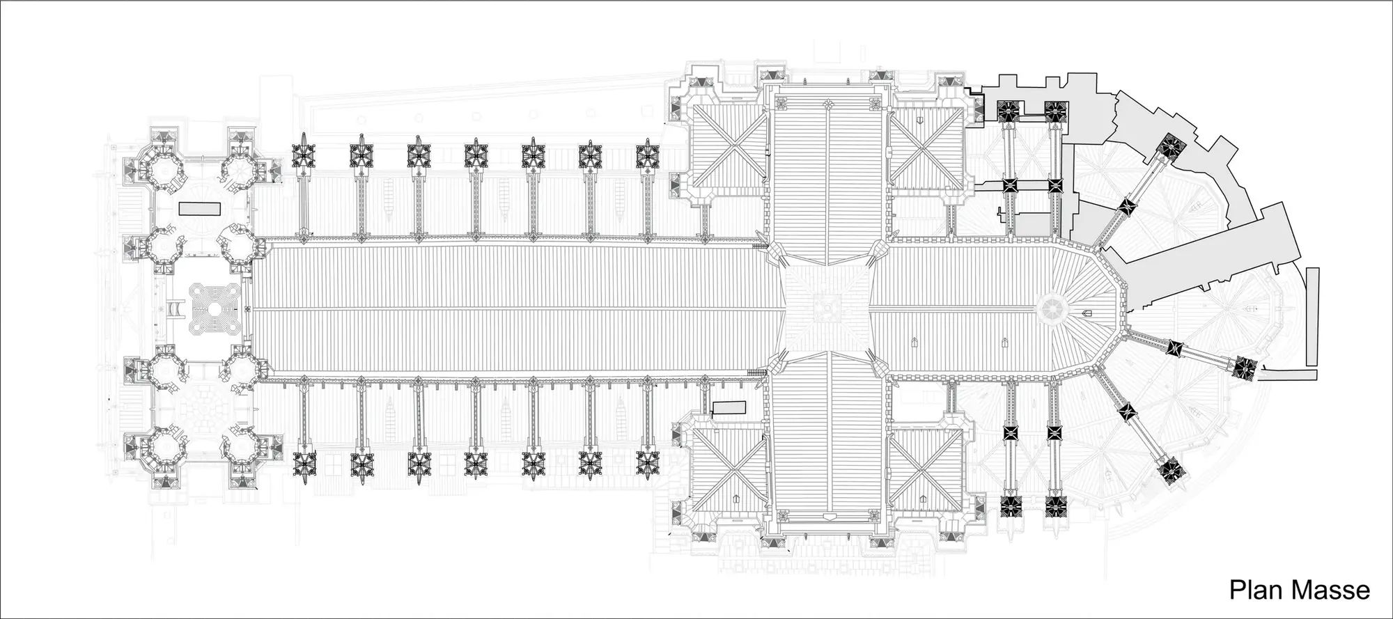
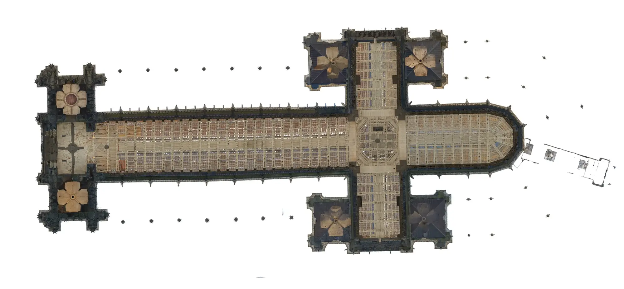
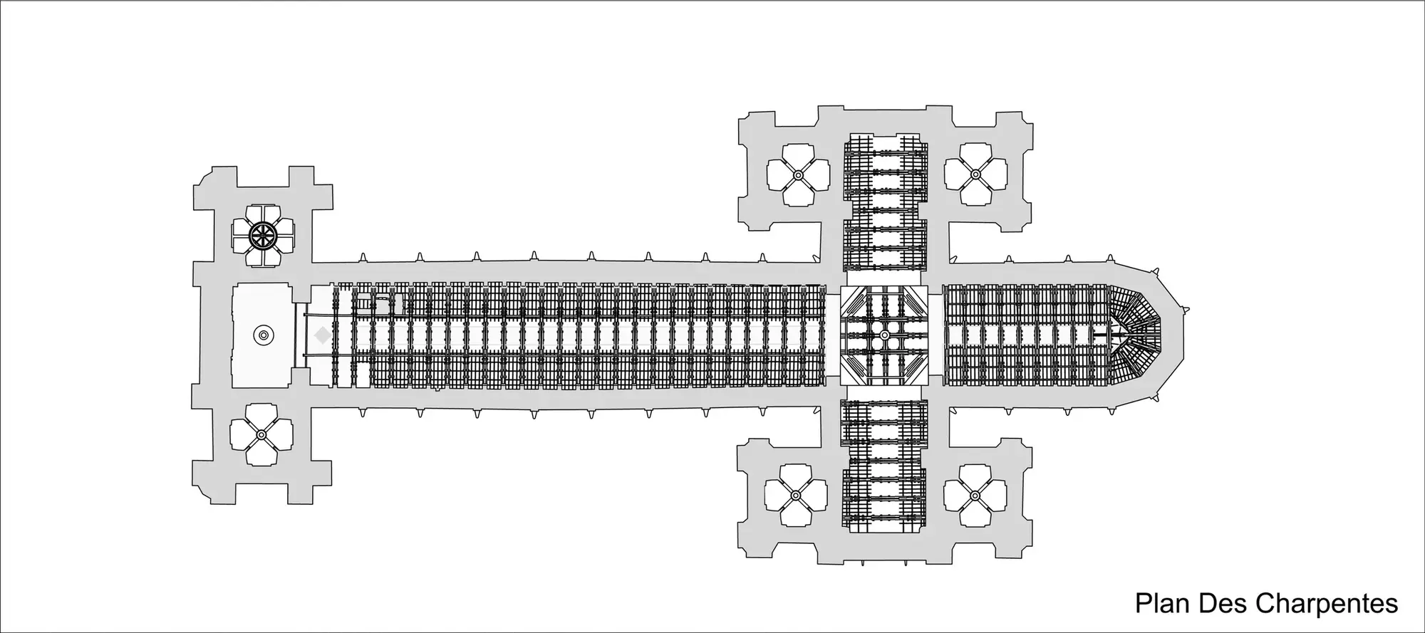
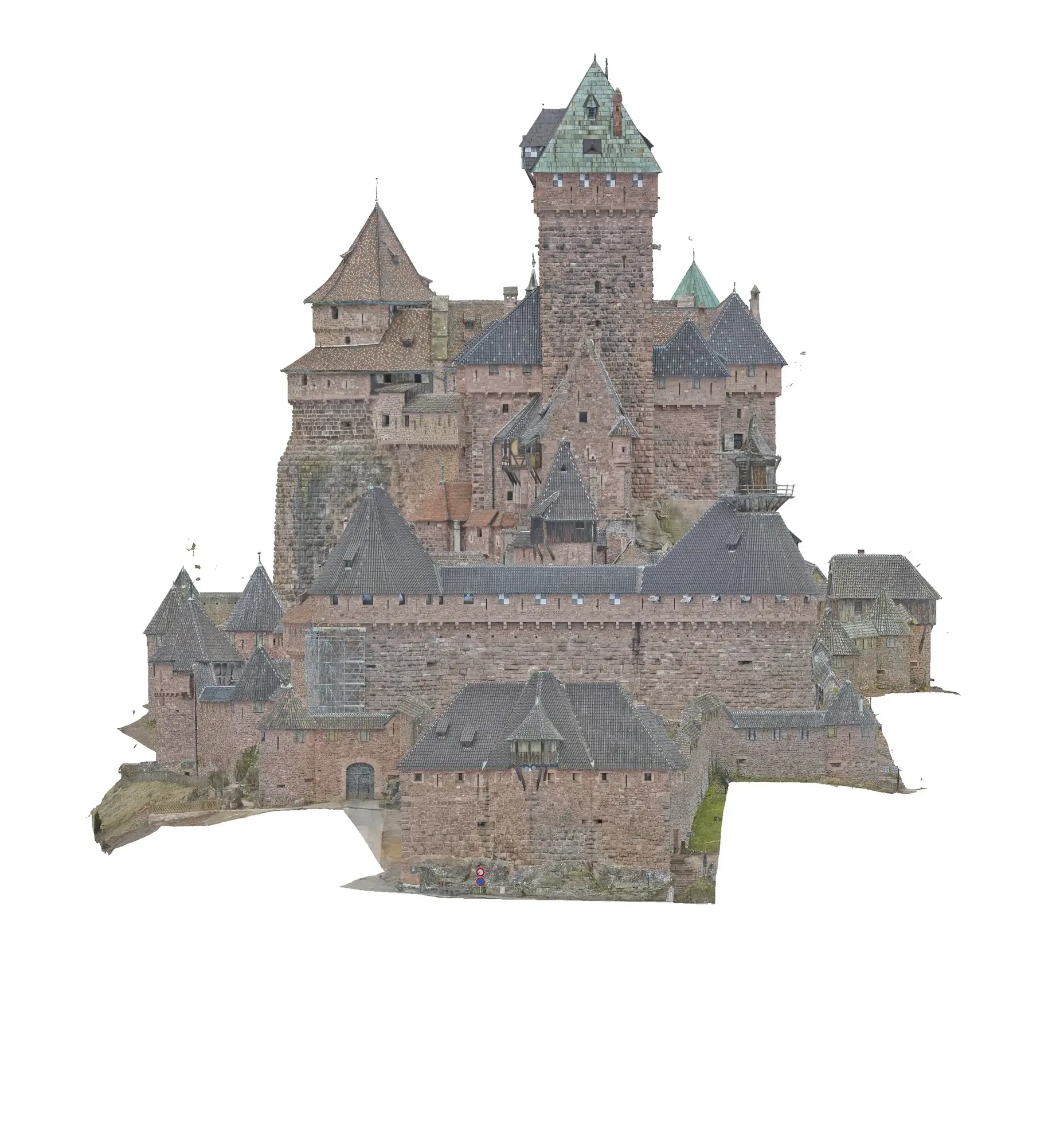
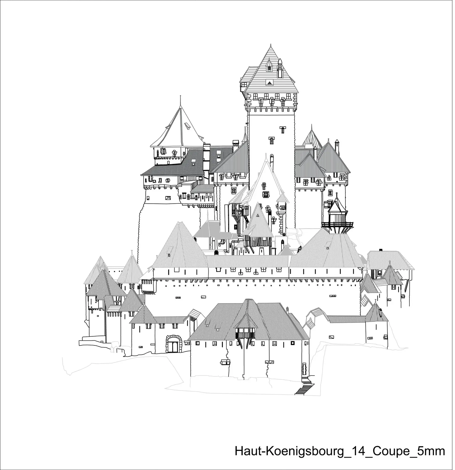
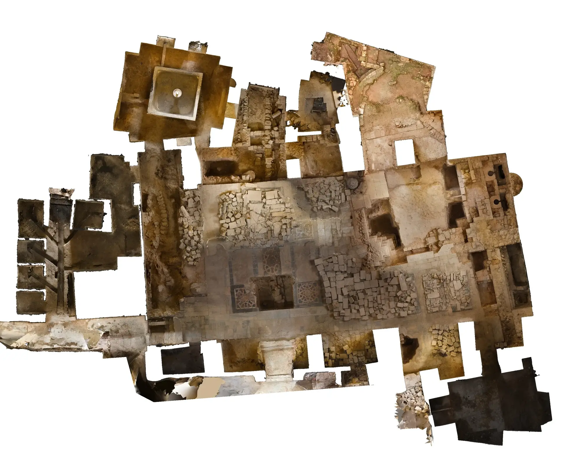
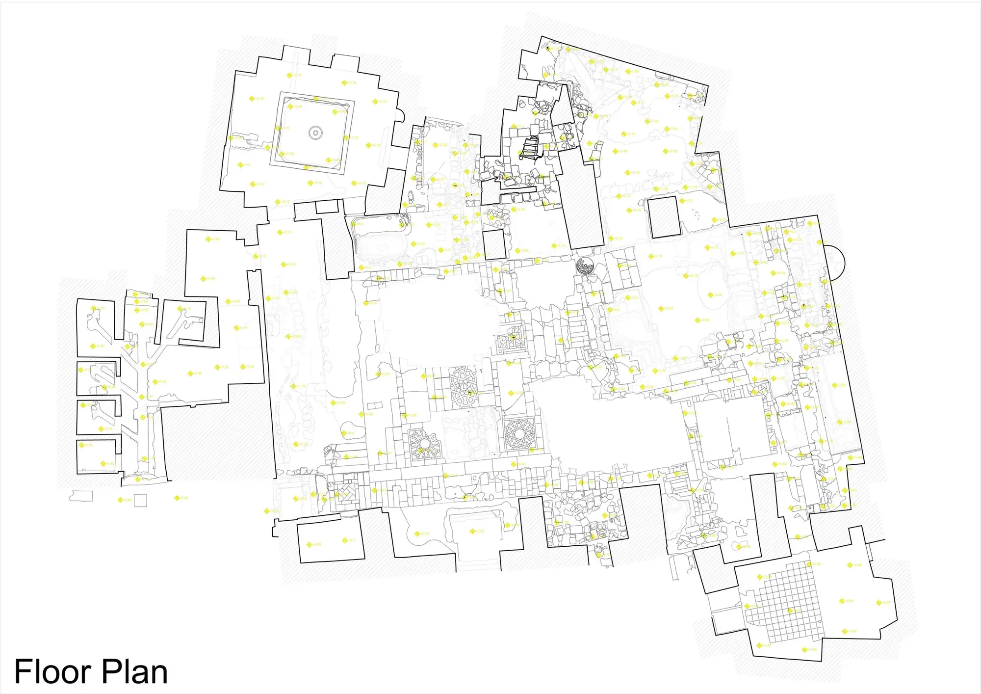
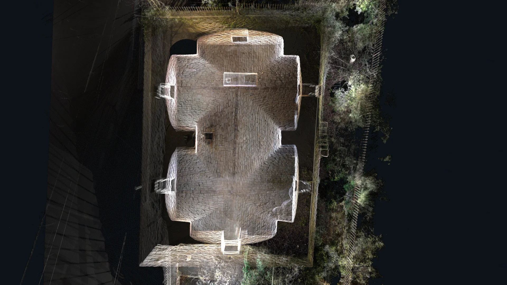
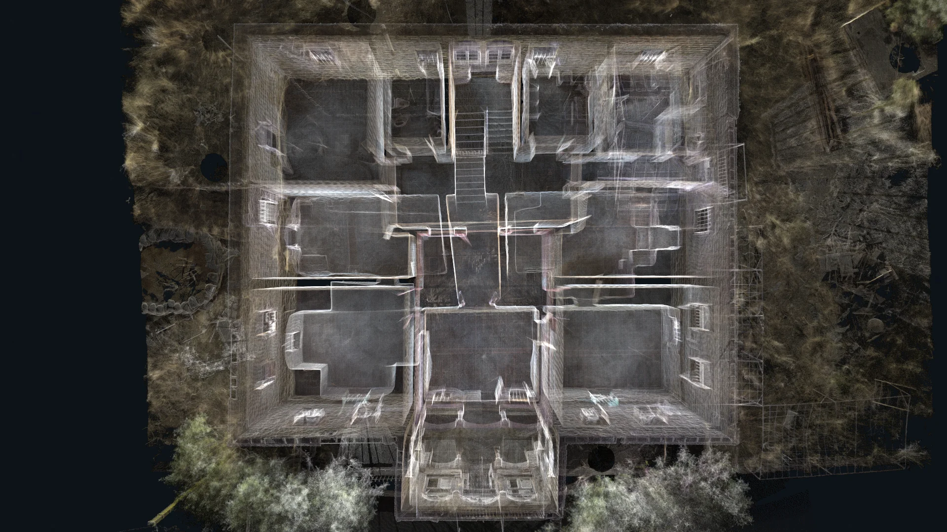
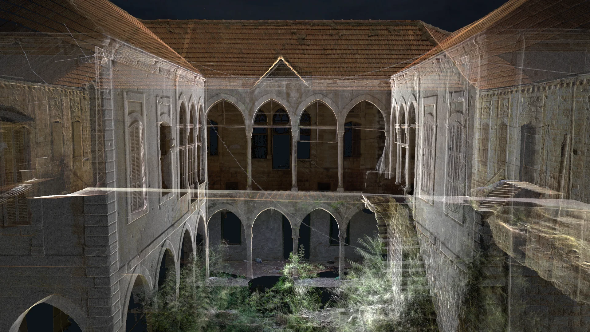
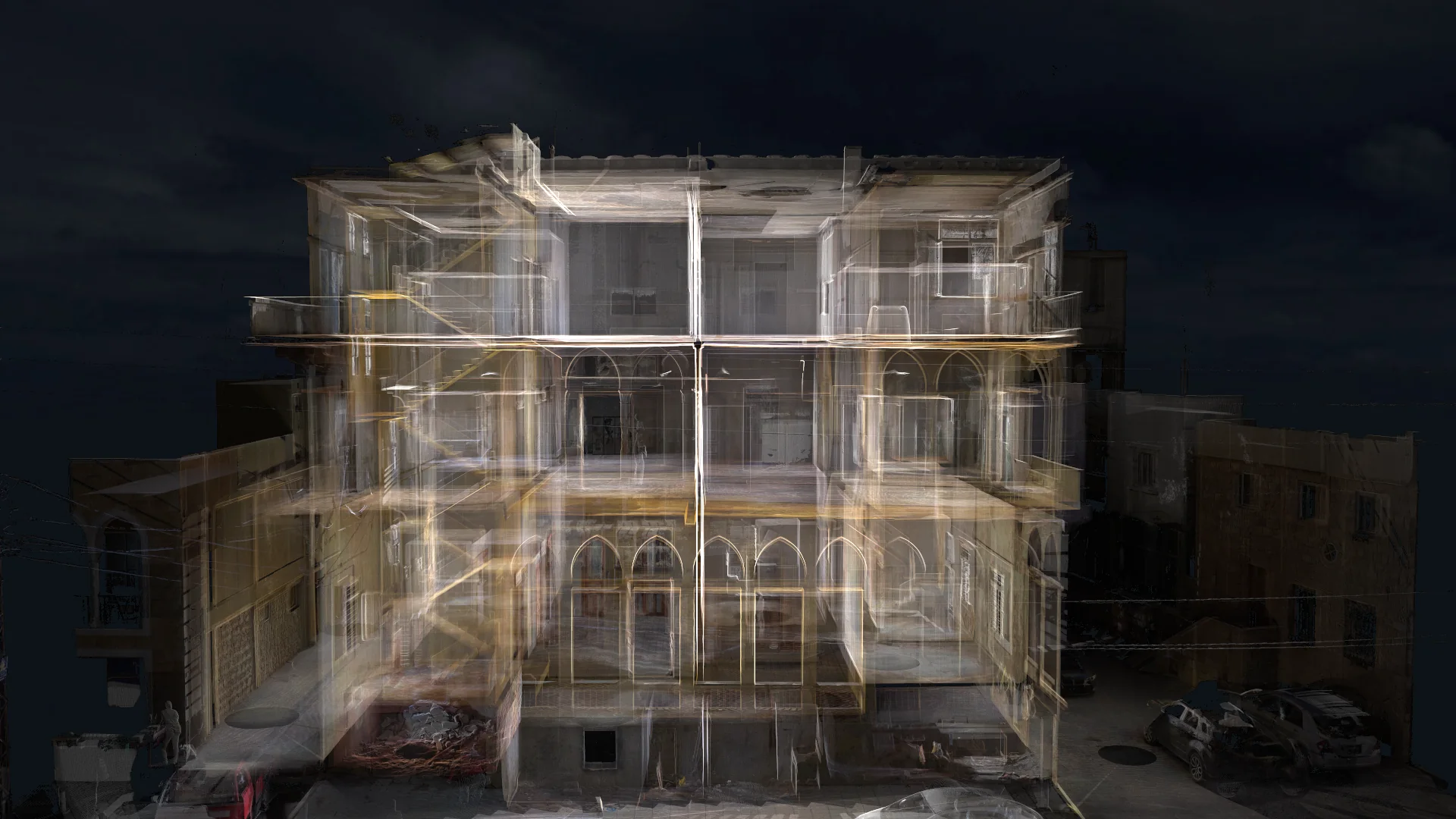
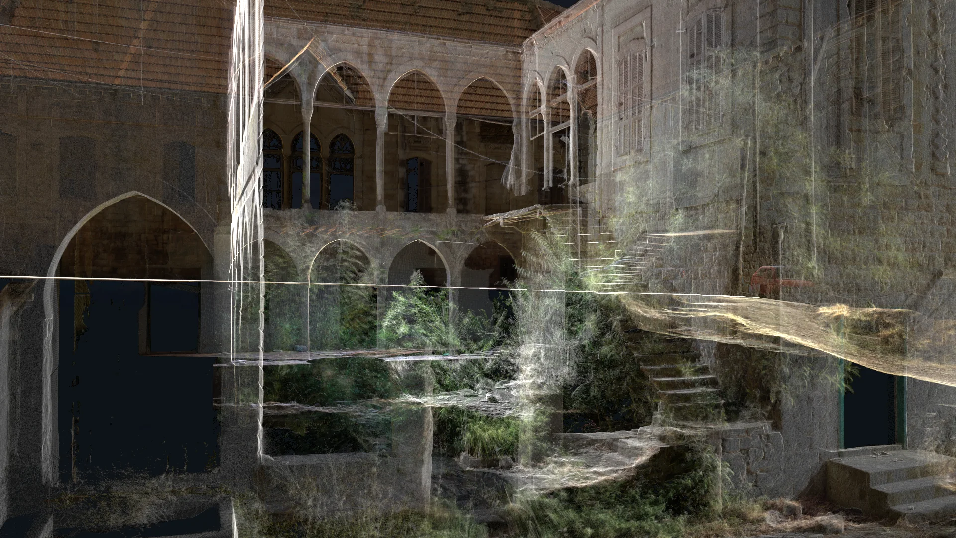
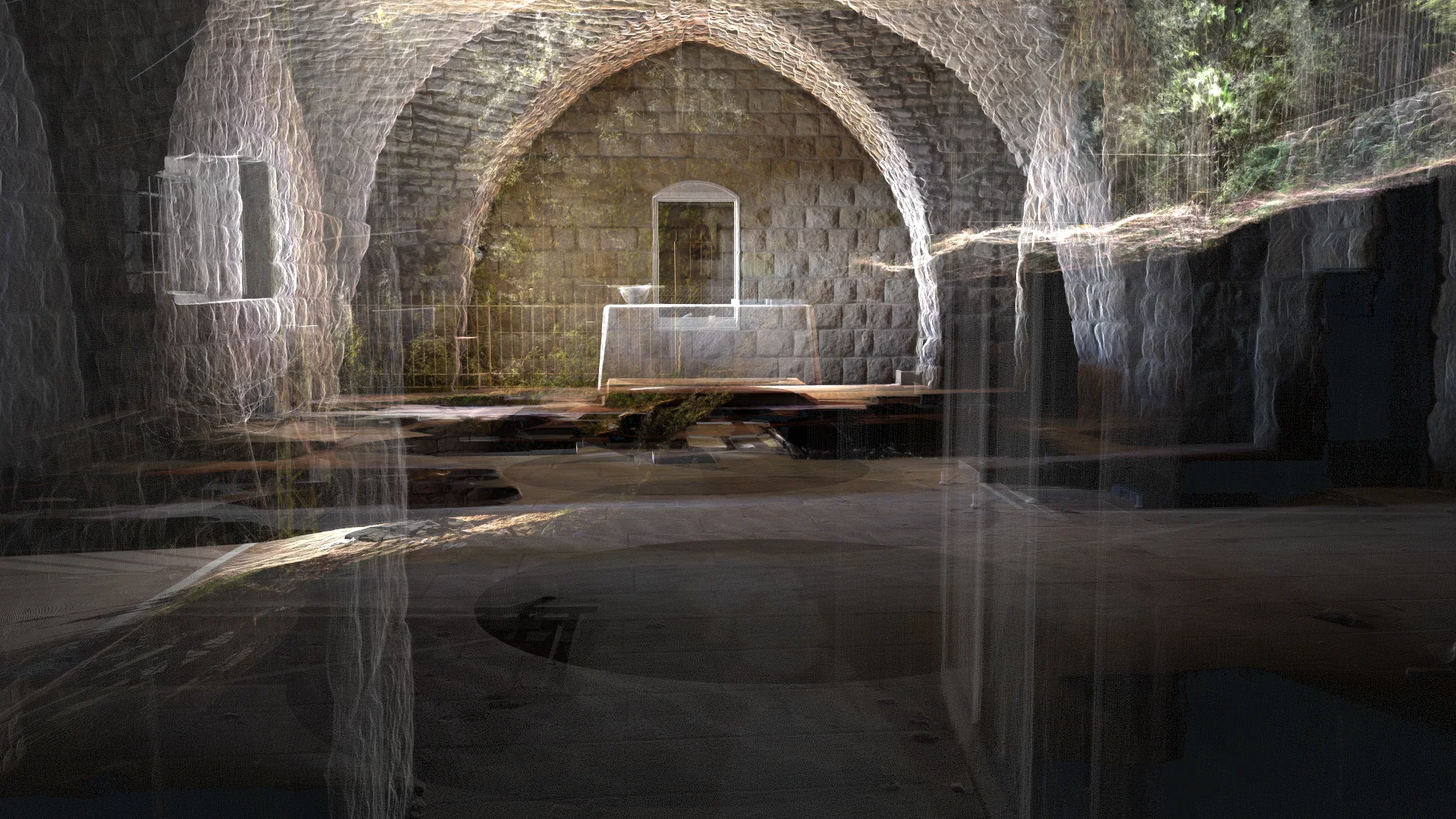
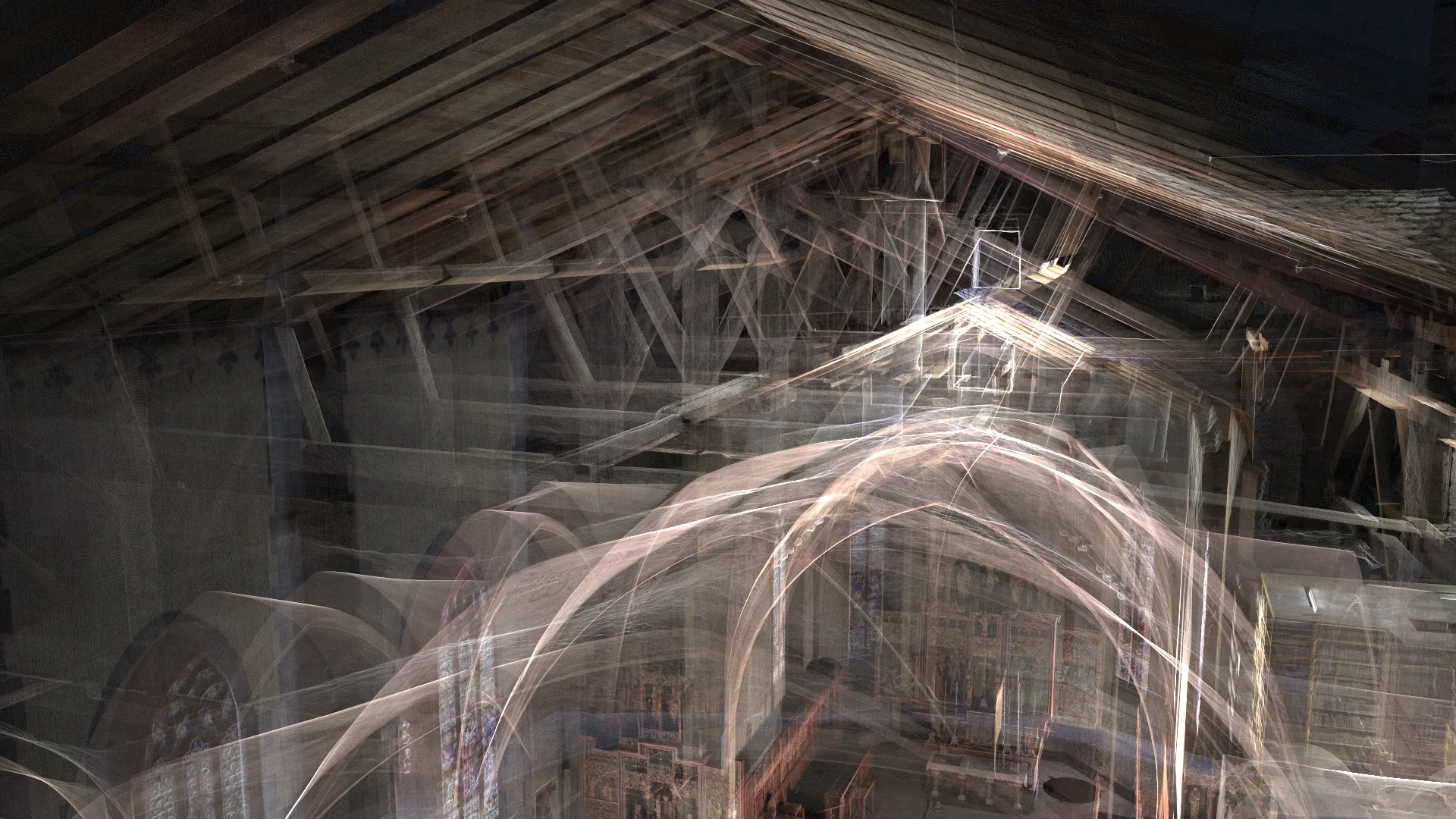
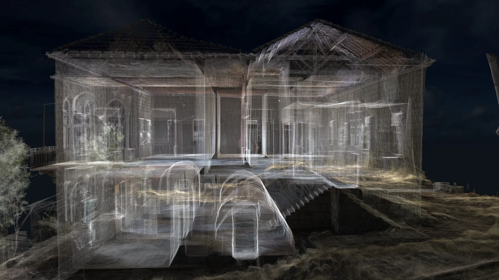
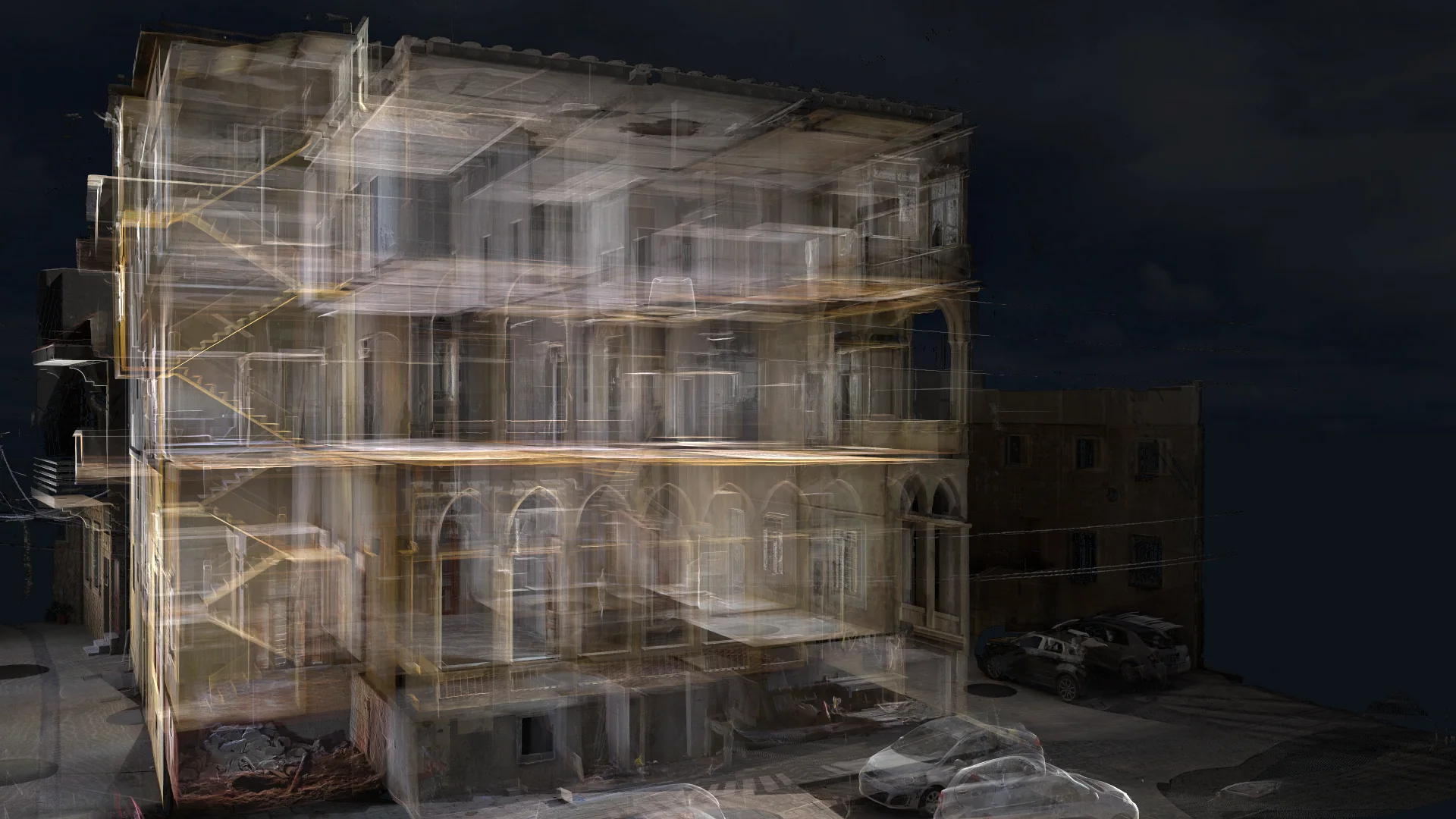
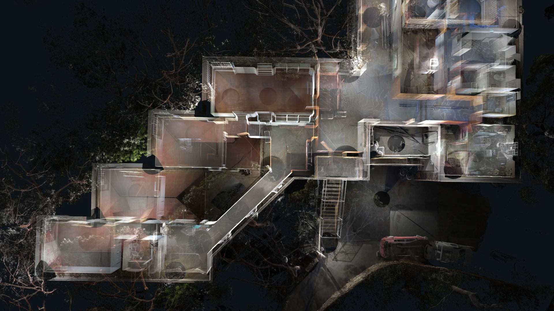
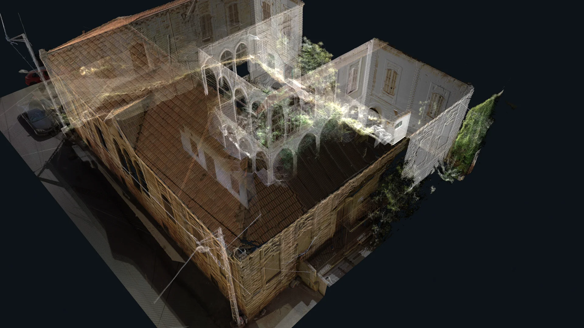
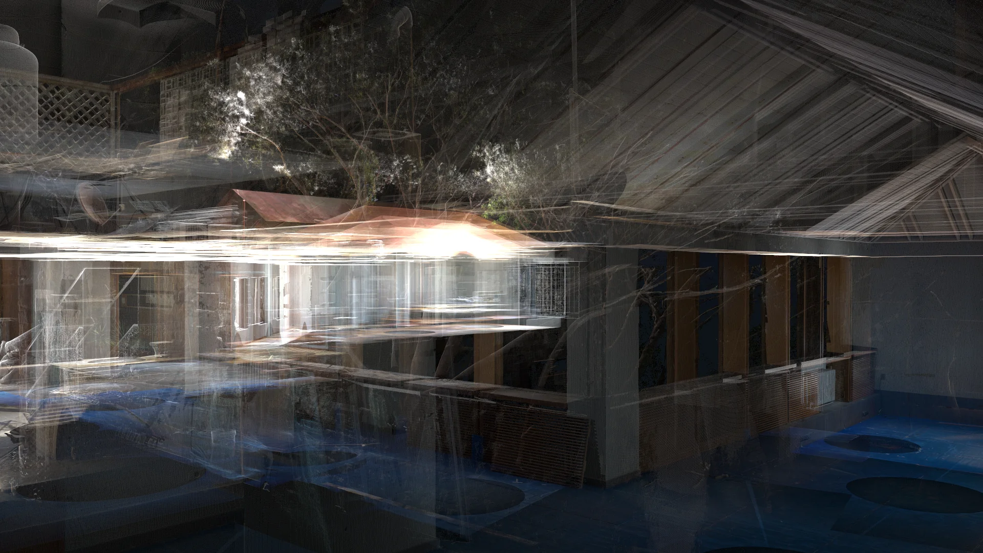
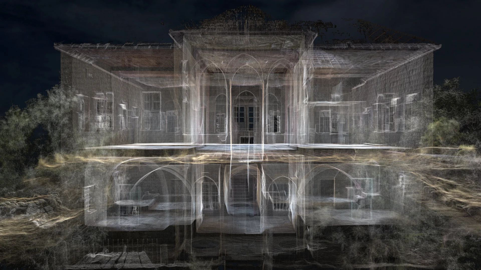
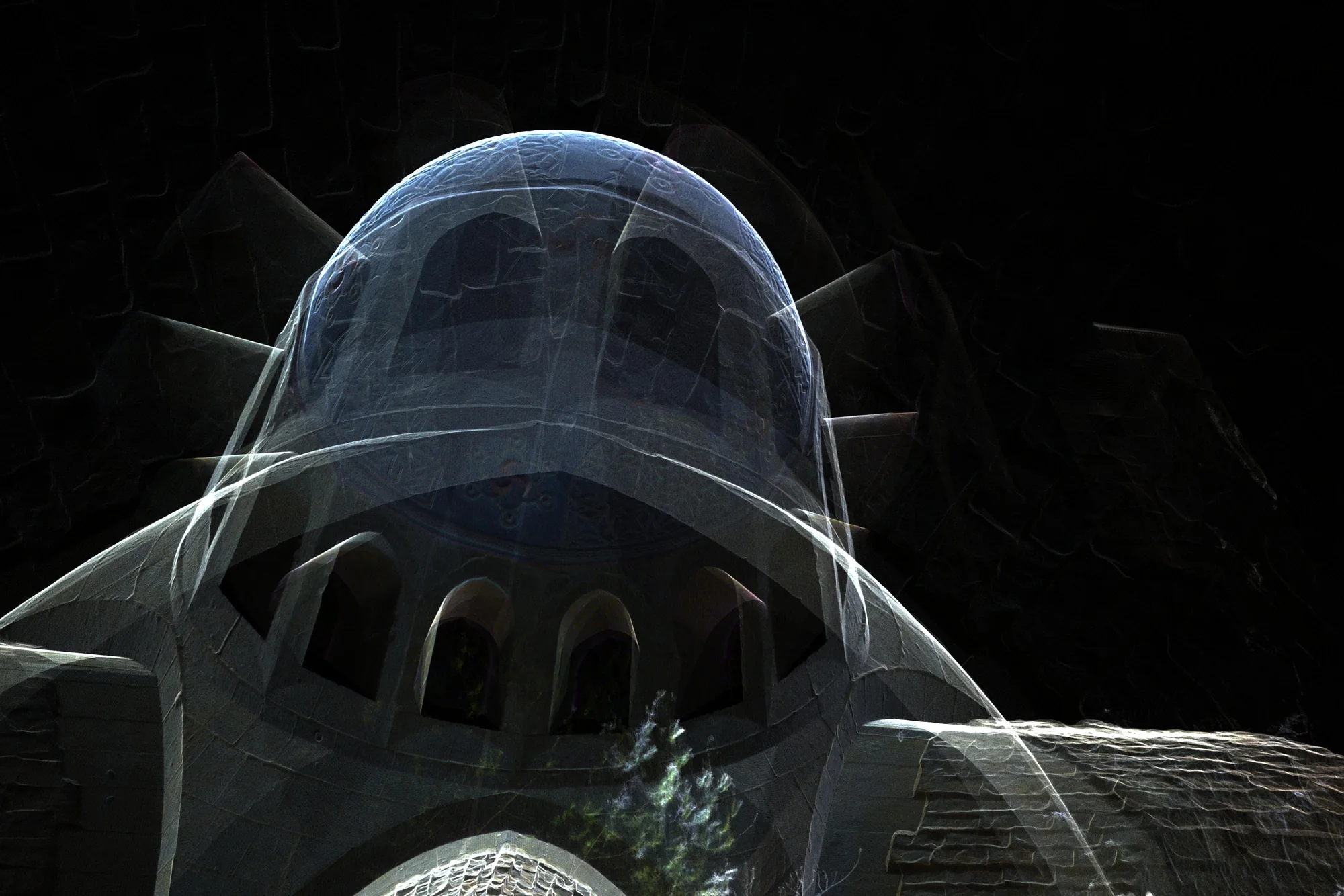
This portfolio collection presents architectural drawings produced by XYZ across a variety of projects, building types, and geographic locations. The drawings were developed from point clouds, field surveys, photographic records, existing documentation, and project-specific measurements. Deliverables include plans, elevations, sections, reflected ceiling plans, façades, details, and existing-condition documentation. The collection demonstrates XYZ’s ability to translate complex spatial information into clear, coordinated, and usable technical drawings for architecture, engineering, restoration, construction, and project-planning purposes.
Client challenge
What the project needed to make possible.
Different spatial sources, building types, project standards, and intended uses needed to be translated into clear and coordinated technical drawing packages.
XYZ scope
Methodology
Review the approved spatial, photographic, and documentary sources
Confirm required views, standards, scales, and project uses
Draft and coordinate the required architectural information
Review geometry, clarity, naming, and drawing consistency
Deliverables + technology
Publicly described deliverables
- Plans and reflected ceiling plans
- Elevations and façades
- Sections
- Architectural details
- Existing-condition documentation
Technology and methods
- Point clouds
- CAD
- Field surveys
- Photographic records
GEOGRAPHIC INFORMATION
- Spatial extent
- Multiple projects, building types, and geographic locations
- Coordinate system
- Not publicly disclosed
- Verification
- Collection scope supplied by XYZ; individual project locations vary
- Data sources
- Point clouds · Field surveys · Photographic records · Existing documentation · Project-specific measurements
GIS layers and mapped-asset counts are omitted when they are not verified for public release.
Related services
XYZ · PROJECT INTAKE
Need a similarly integrated project workflow?
Share the site, context, source information, and required outcome. XYZ will help define the right capture, production, and delivery structure.
Discuss Your Project