
PROJECT / 01
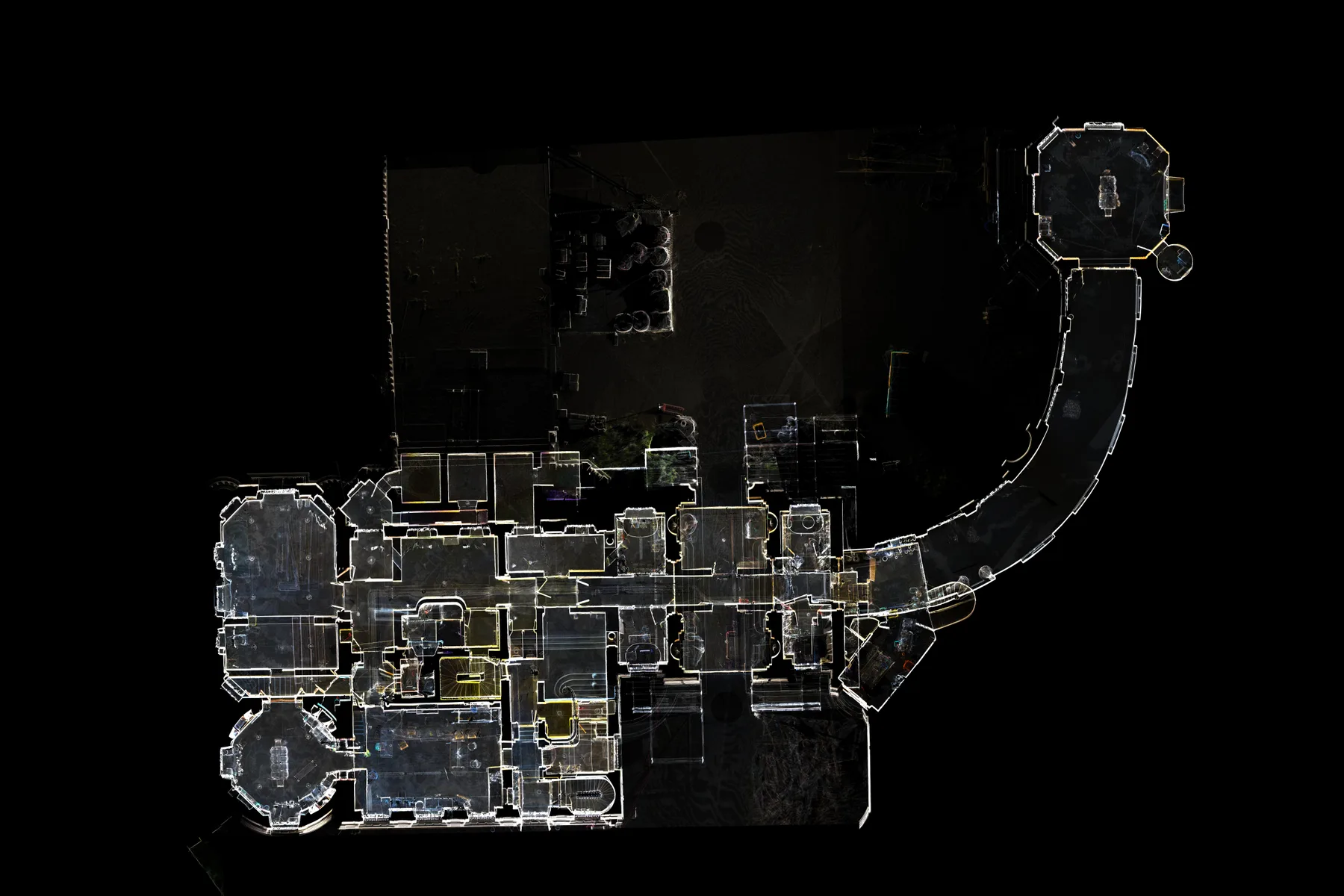
Château de Glaignes Digital Survey
 XYZ PROJECT ARCHIVE · USER-SUPPLIED IMAGE
Image archive
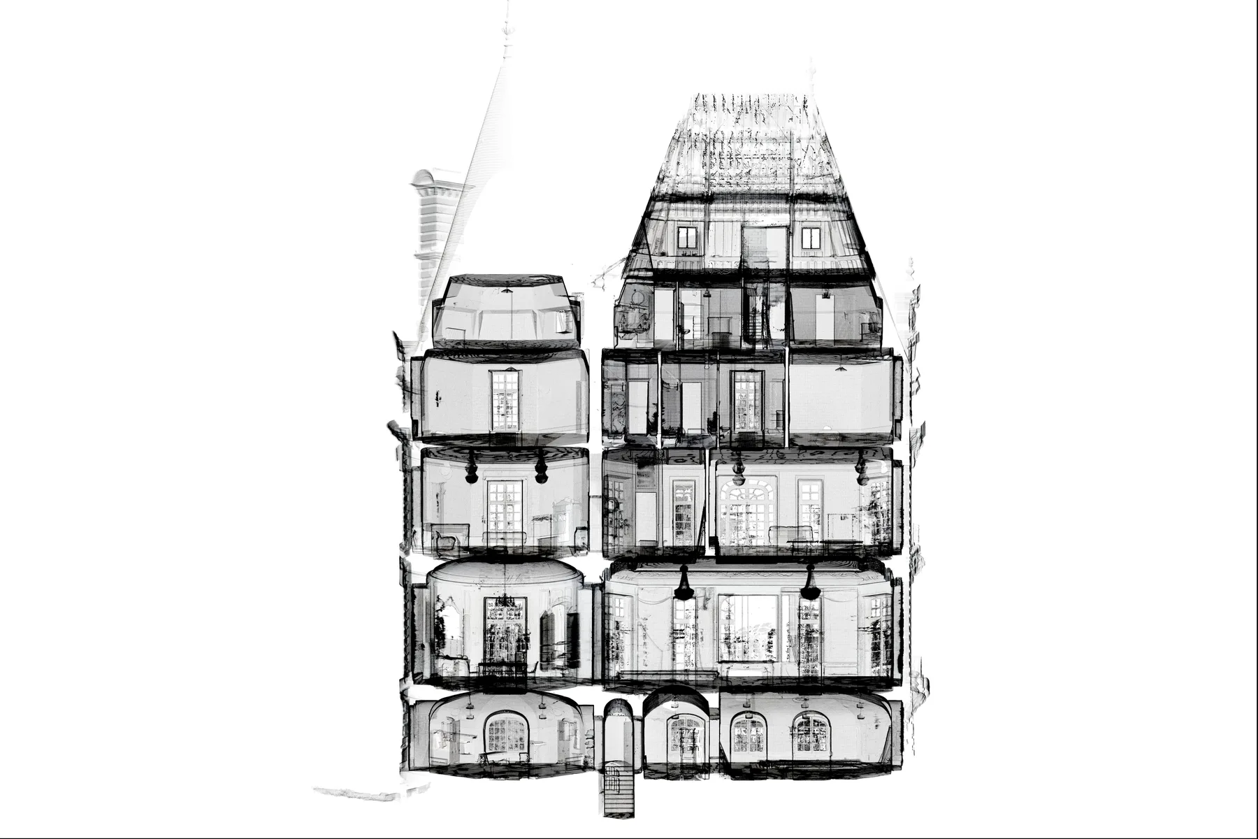
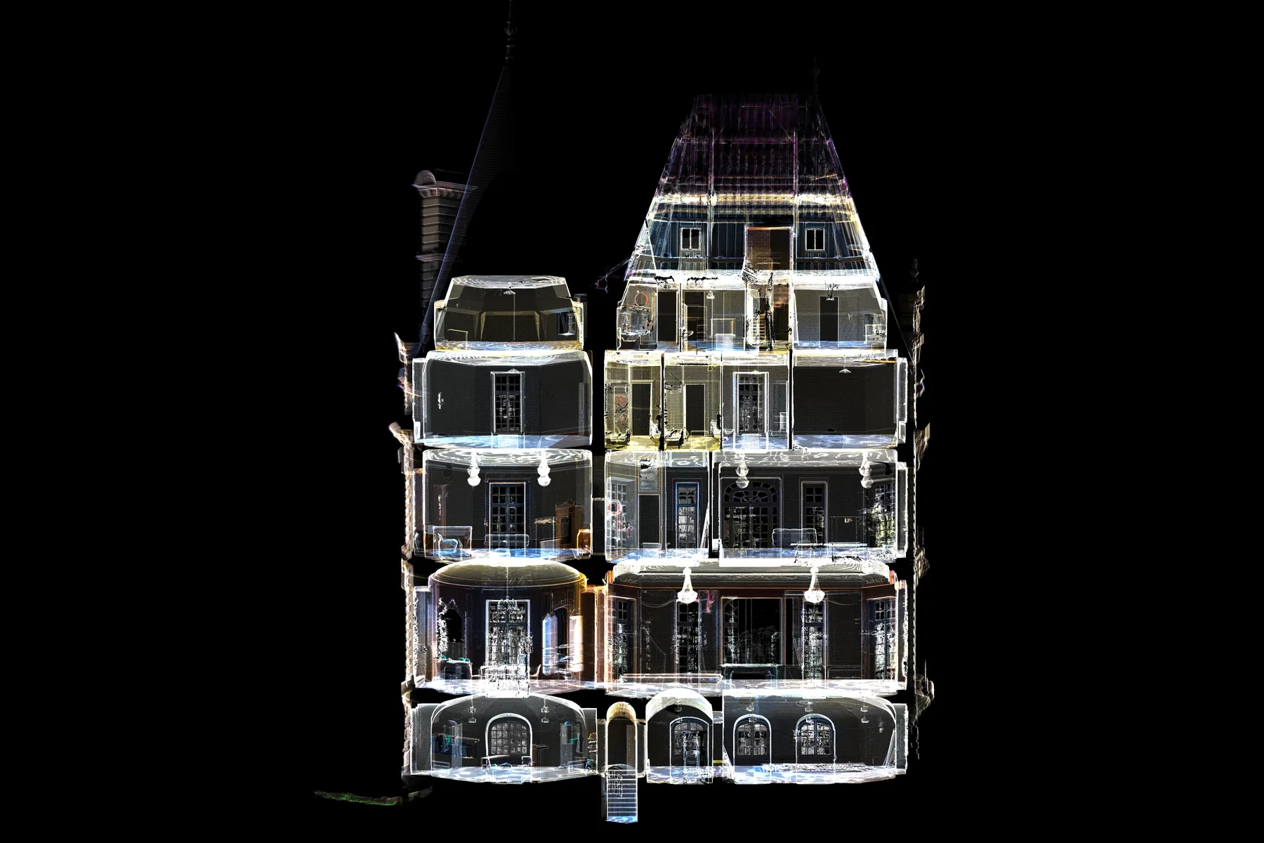
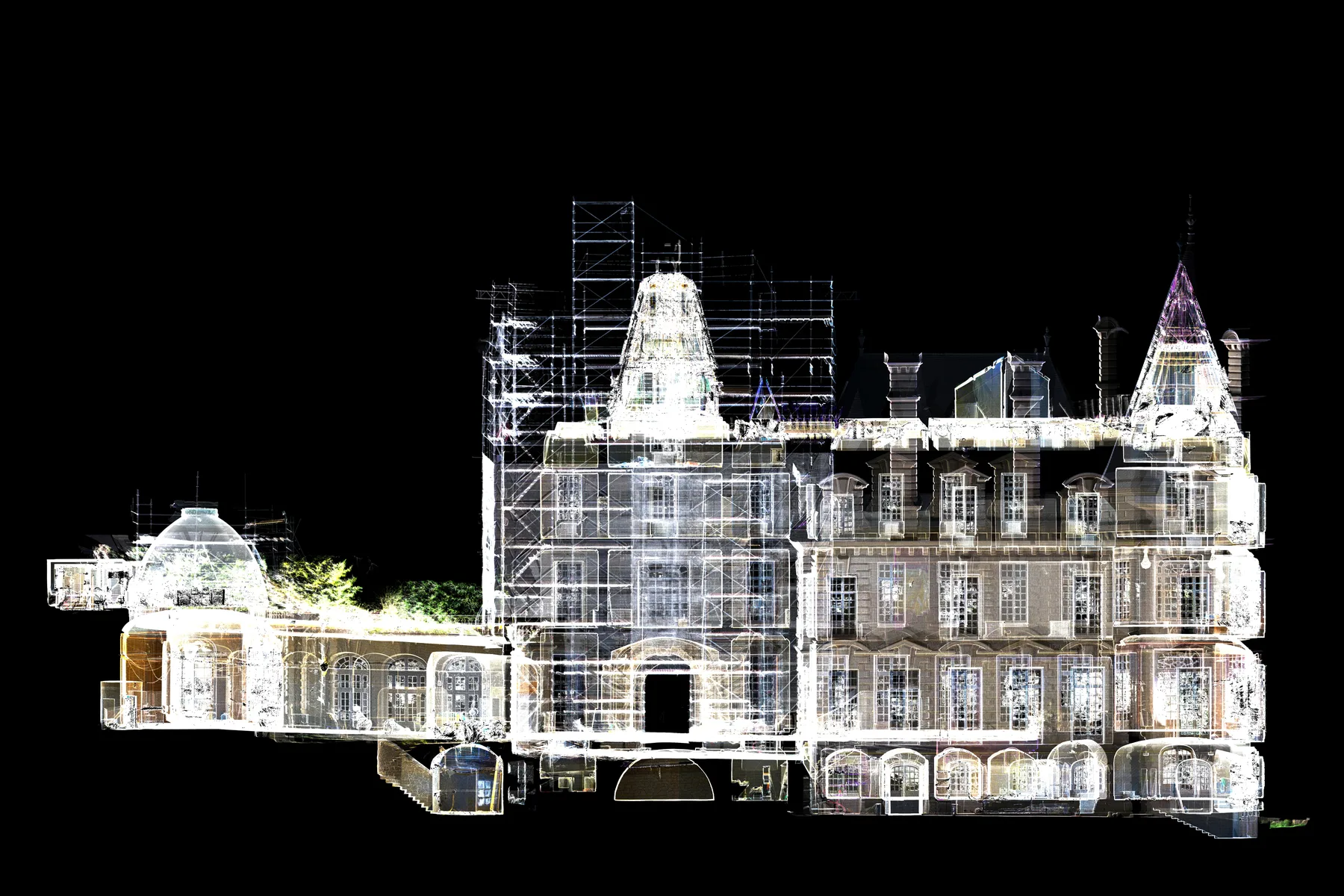
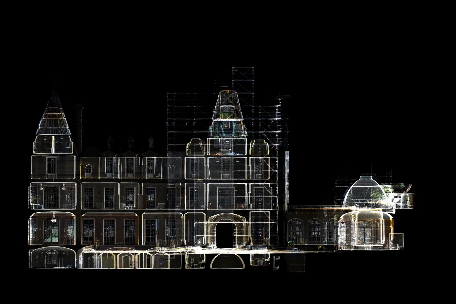
Selected views from the project record.
Overview
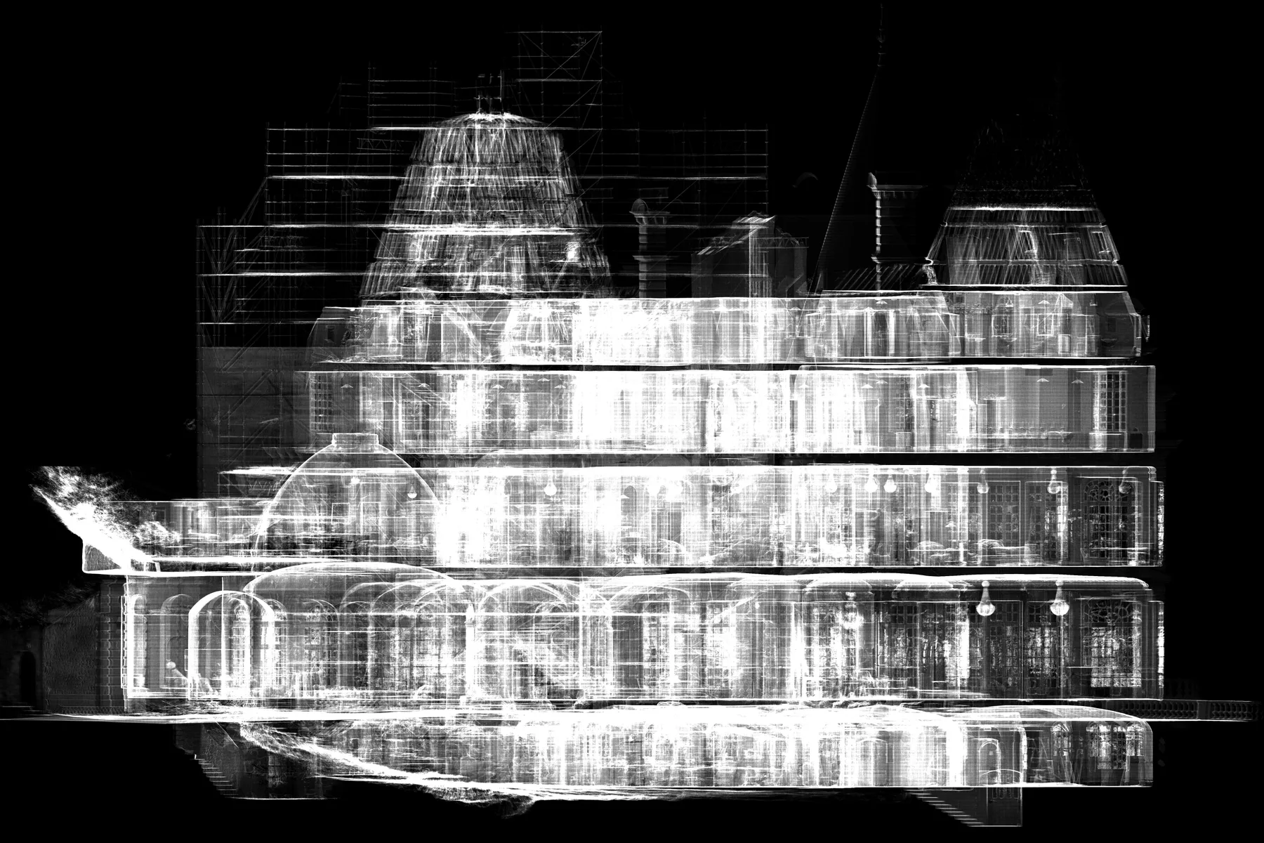
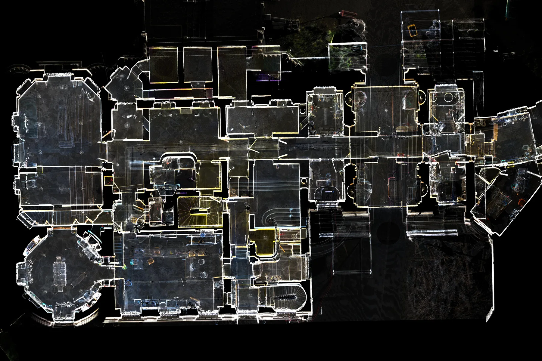
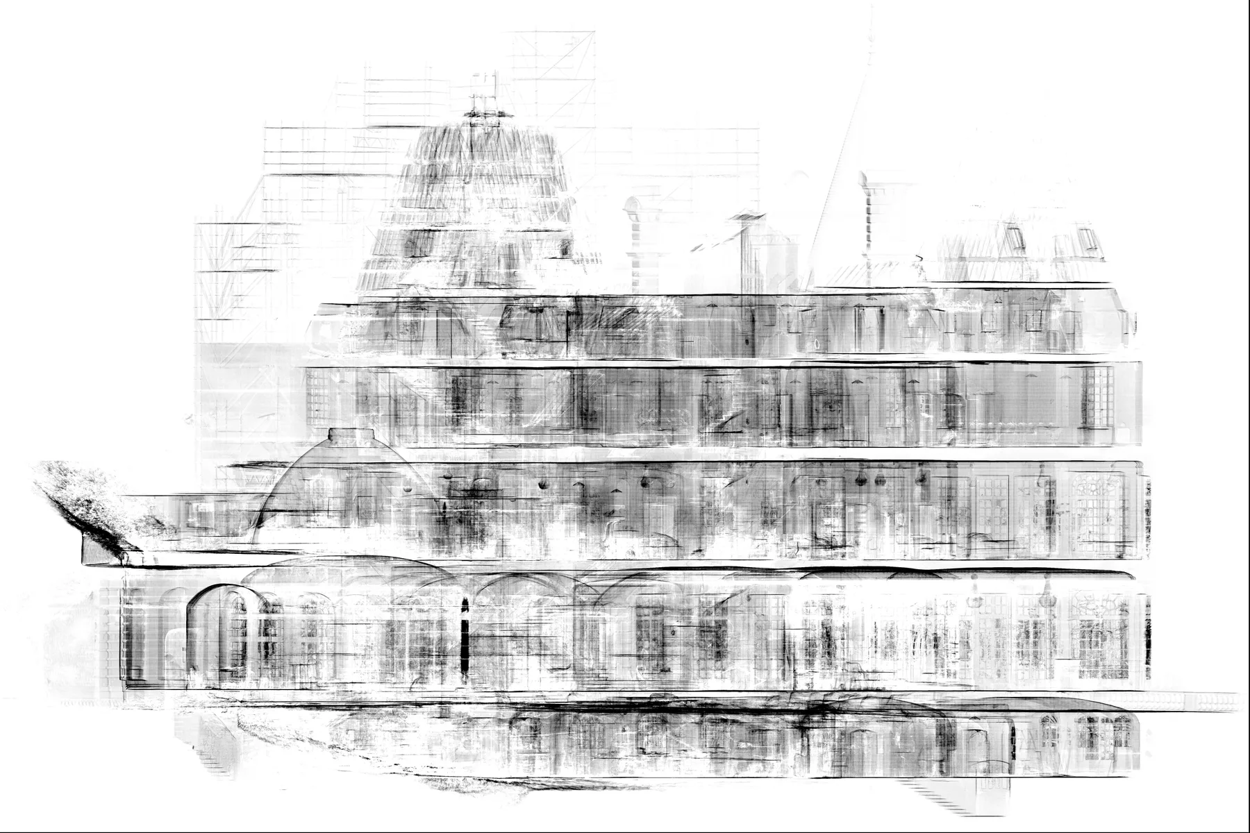
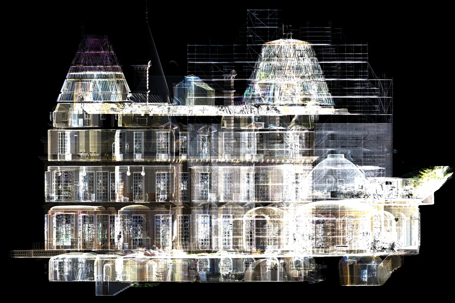
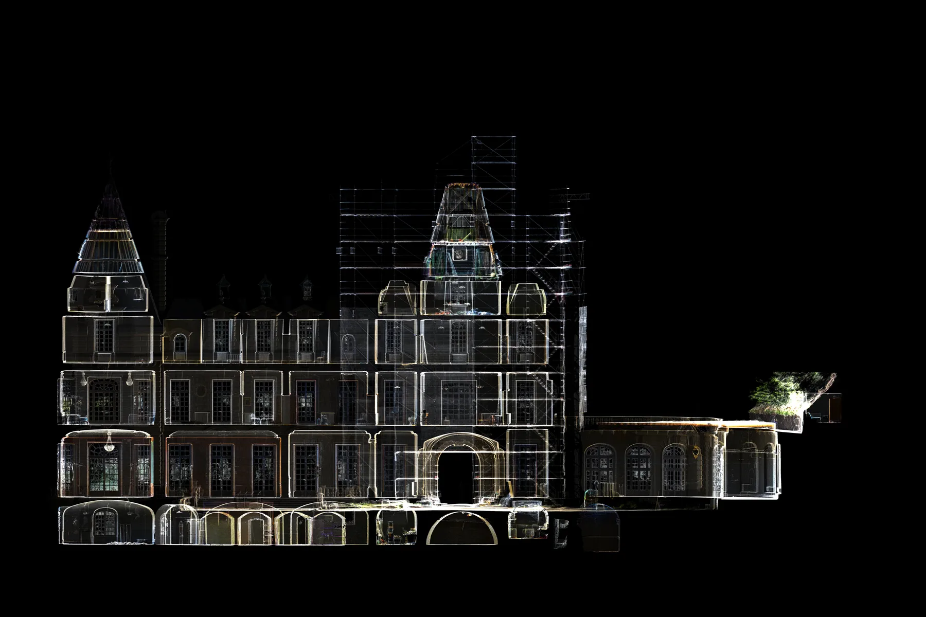
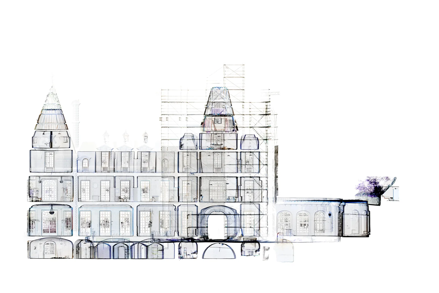
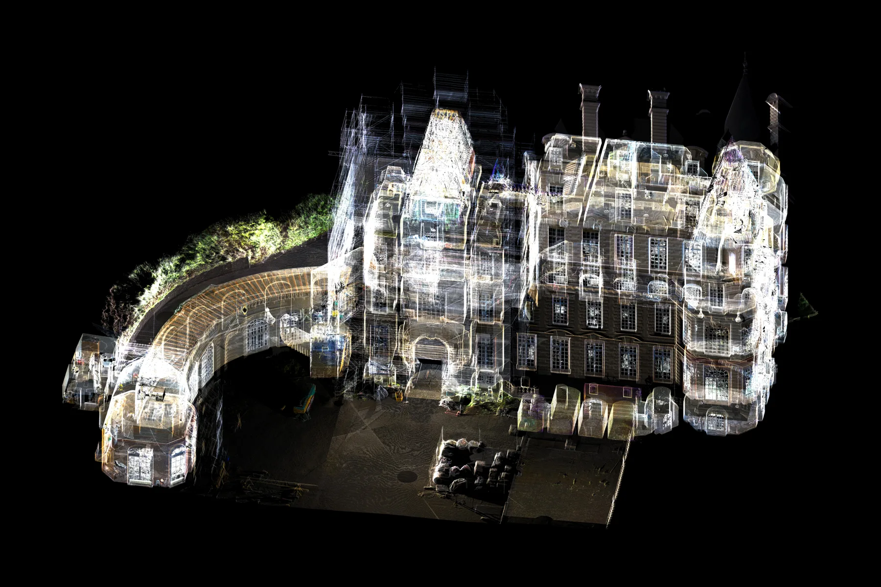
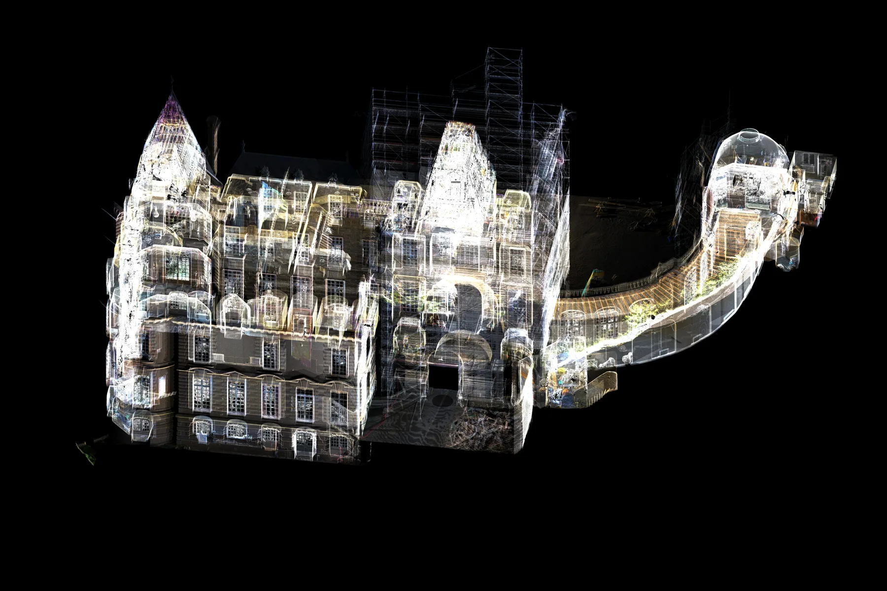
XYZ supported the digital documentation of Château de Glaignes in France through an integrated workflow covering site capture, data processing, and architectural drawing production.
Client challenge
What the project needed to make possible.
The assignment required a coordinated progression from on-site heritage capture to processed spatial data and clear office-based architectural drawings.
XYZ scope
Methodology
Approximately three weeks of site capture
Approximately two weeks of data processing
Approximately three weeks of drawing production
Coordinated review between spatial records and drawings
Verified timeline
Deliverables + technology
Publicly described deliverables
- Processed spatial documentation
- Photogrammetric records
- Architectural drawing production
Technology and methods
- 3D laser scanning
- Photogrammetry
- Point clouds
- CAD
GEOGRAPHIC INFORMATION
- Spatial extent
- Château de Glaignes, France
- Coordinate system
- Not publicly disclosed
- Verification
- Verified project scope; no unverified historical claims included
- Data sources
- Field capture · Project photography
GIS layers and mapped-asset counts are omitted when they are not verified for public release.
Related services
XYZ · PROJECT INTAKE
Need a similarly integrated project workflow?
Share the site, context, source information, and required outcome. XYZ will help define the right capture, production, and delivery structure.
Discuss Your Project