
PROJECT / 16
Tripoli Castle Digital Documentation
 XYZ PROJECT ARCHIVE · USER-SUPPLIED IMAGE
Image archive
Selected views from the project record.
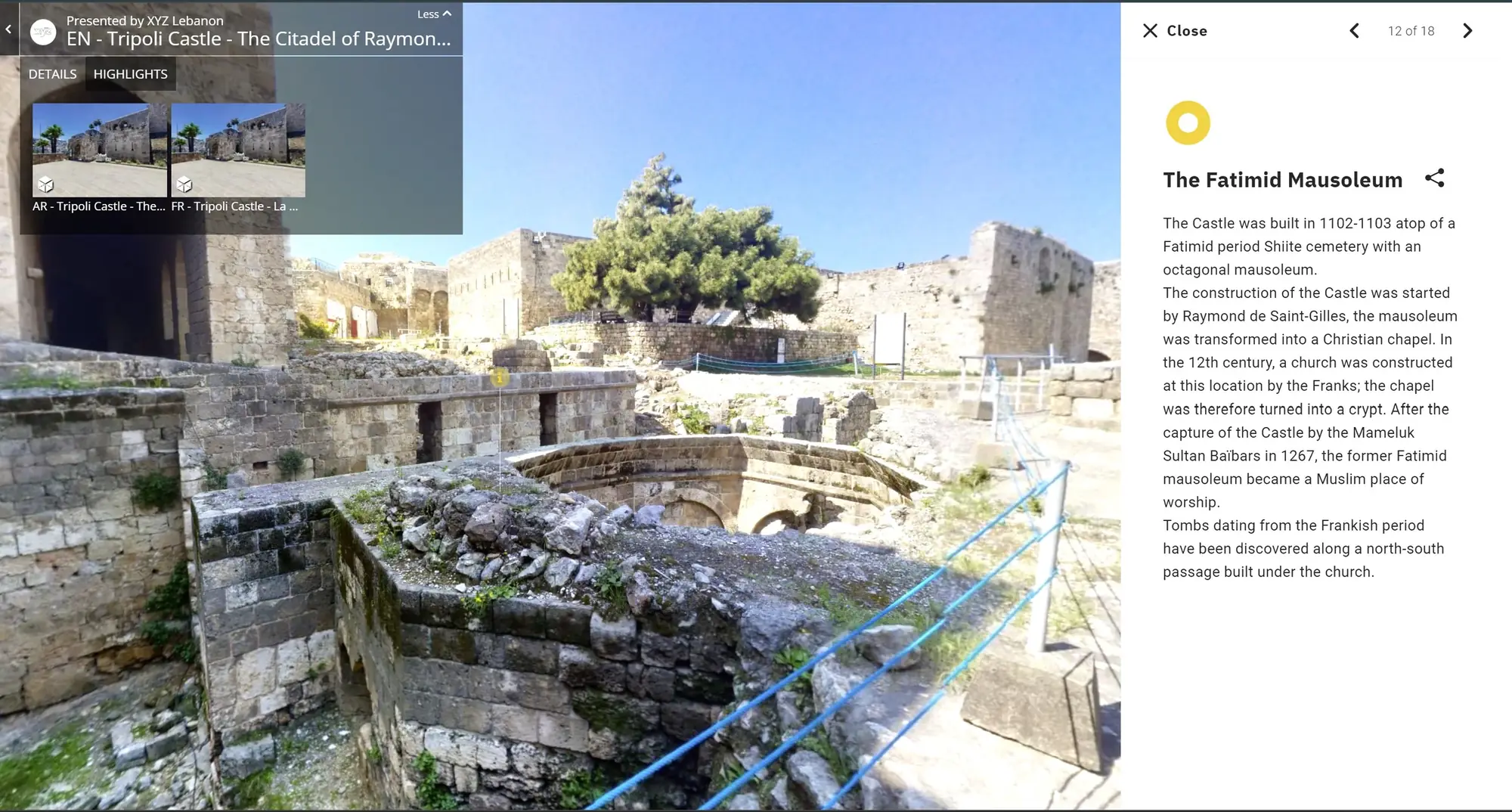
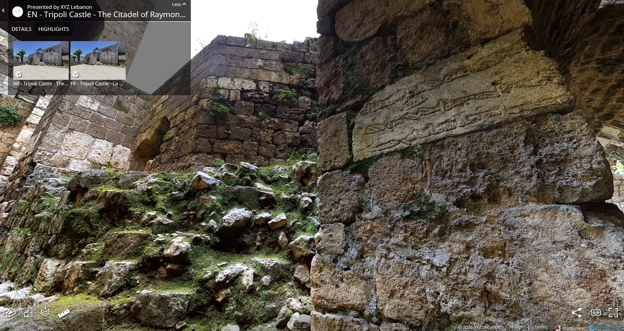
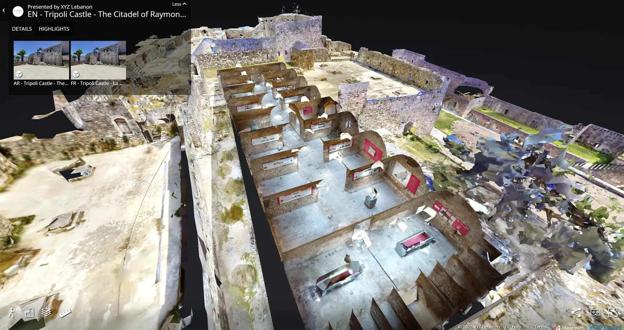
Overview
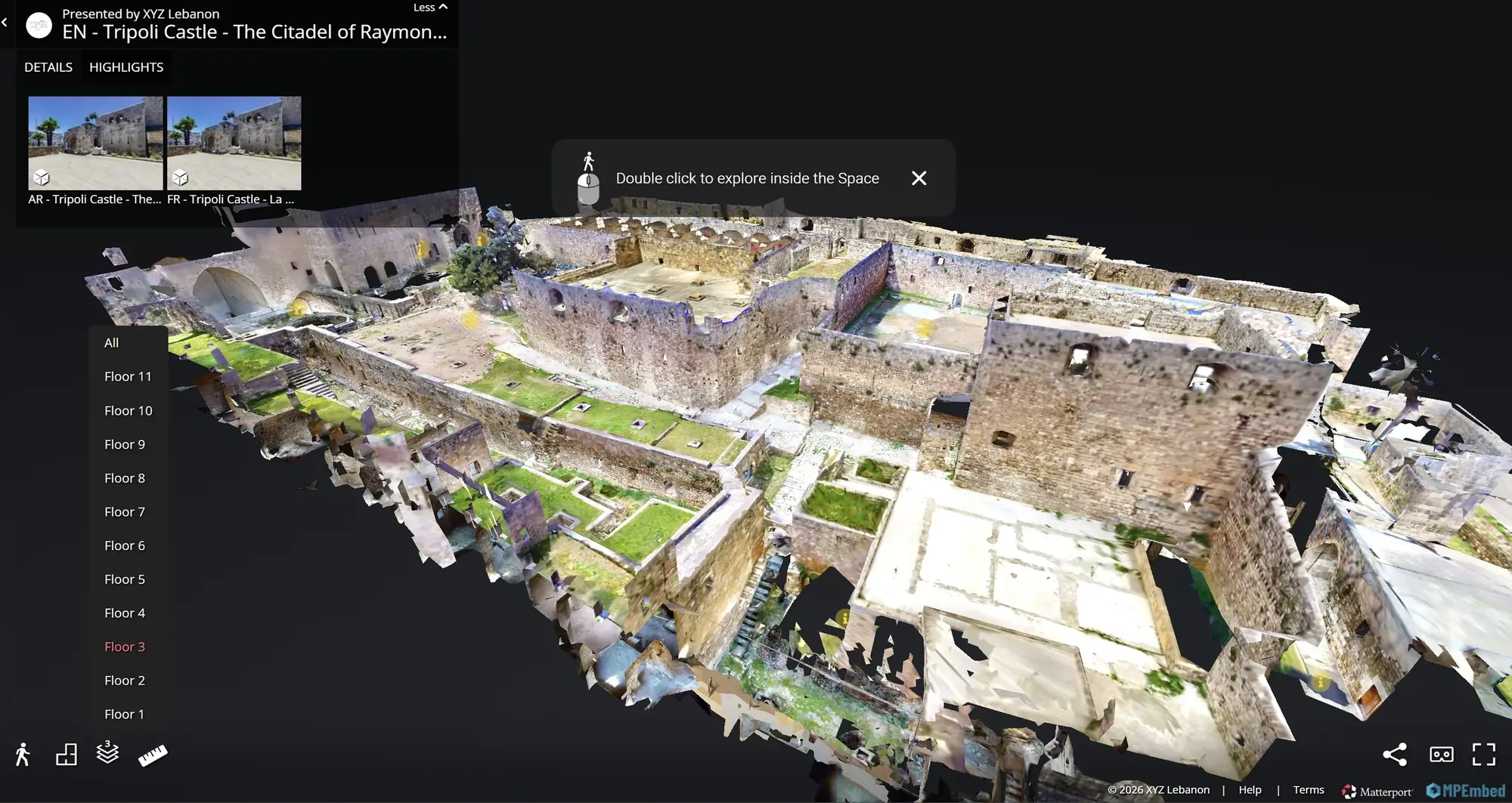
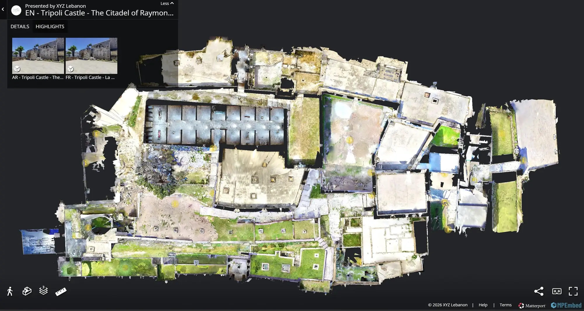
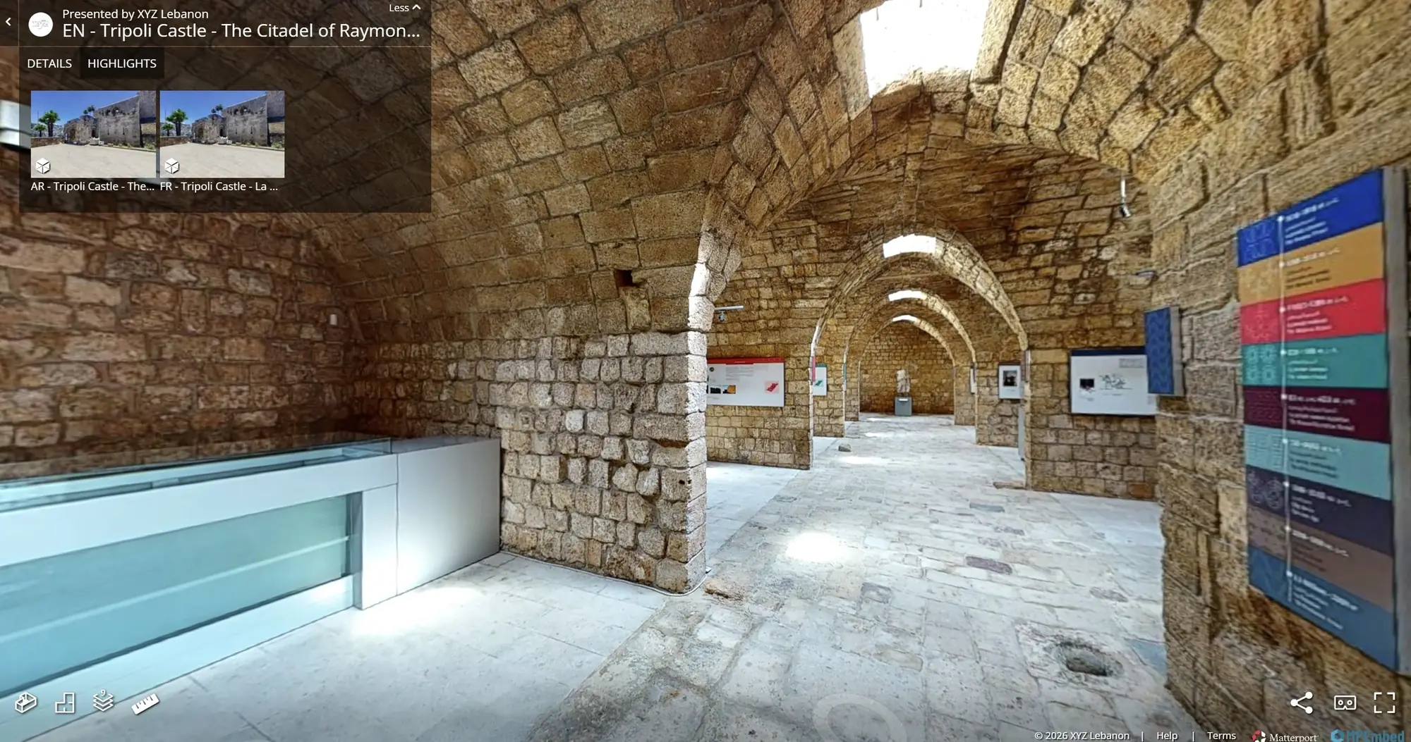
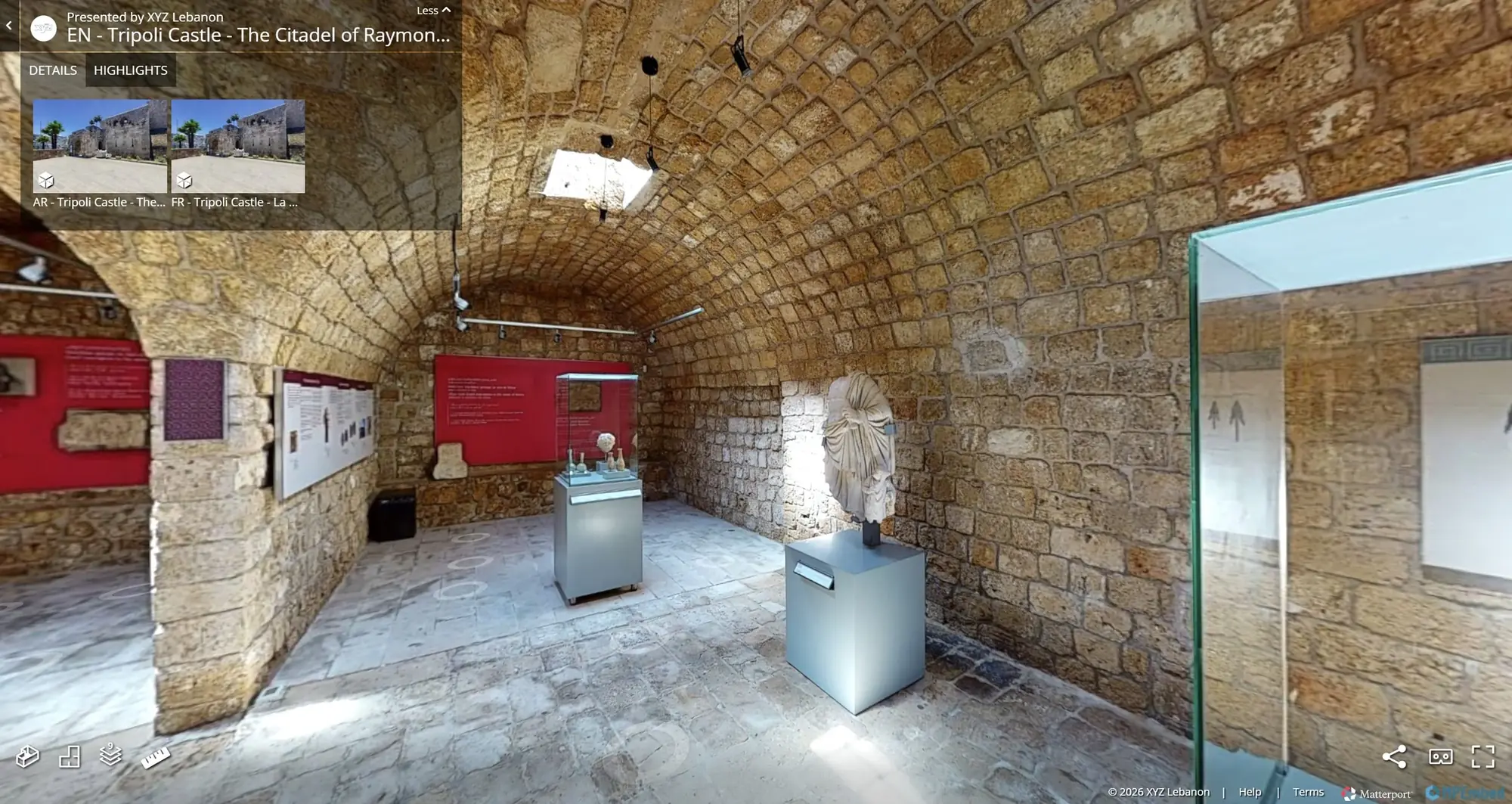
XYZ documented Tripoli Castle through 3D laser scanning and developed an interactive virtual-tour experience that allows users to explore the historic site digitally. The scanning process created an accurate spatial record of the castle’s architecture, circulation routes, courtyards, walls, and existing conditions. The virtual tour transformed the captured information into an accessible experience that can support education, cultural interpretation, tourism, research, and remote exploration. The project demonstrates how reality capture can be combined with immersive digital tools to preserve and communicate significant heritage sites.
Client challenge
What the project needed to make possible.
The project needed to preserve an accurate spatial record of the castle while translating its complex circulation and architectural spaces into an accessible digital experience.
XYZ scope
Methodology
Capture the castle’s architecture and circulation through laser scanning
Register and review the existing-condition spatial record
Structure the digital visitor journey through the historic site
Author an interactive virtual-tour experience for remote access
Deliverables + technology
Publicly described deliverables
- Accurate spatial record of Tripoli Castle
- Processed reality-capture dataset
- Interactive virtual tour
- Digital material for education, interpretation, tourism, and research
Technology and methods
- 3D laser scanning
- Point-cloud processing
- Virtual-tour authoring
GEOGRAPHIC INFORMATION
- Spatial extent
- Tripoli Castle, Tripoli, Lebanon
- Coordinate system
- Not publicly disclosed
- Verification
- Project location and supplied scope verified by XYZ
- Data sources
- Field-captured laser scans · Existing-condition spatial records
GIS layers and mapped-asset counts are omitted when they are not verified for public release.
Related services
XYZ · PROJECT INTAKE
Need a similarly integrated project workflow?
Share the site, context, source information, and required outcome. XYZ will help define the right capture, production, and delivery structure.
Discuss Your Project