
PROJECT / 12
Gemmayze Street Point-Cloud Documentation
 XYZ PROJECT ARCHIVE · USER-SUPPLIED IMAGE
Image archive
Selected views from the project record.
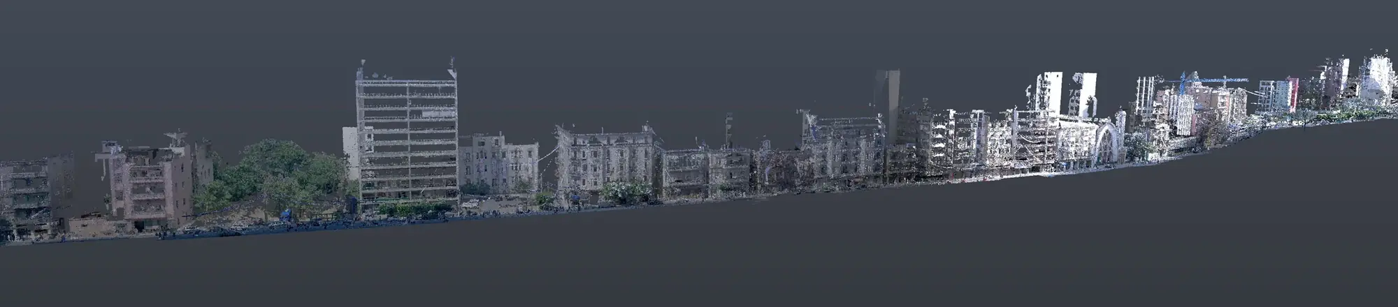
Overview
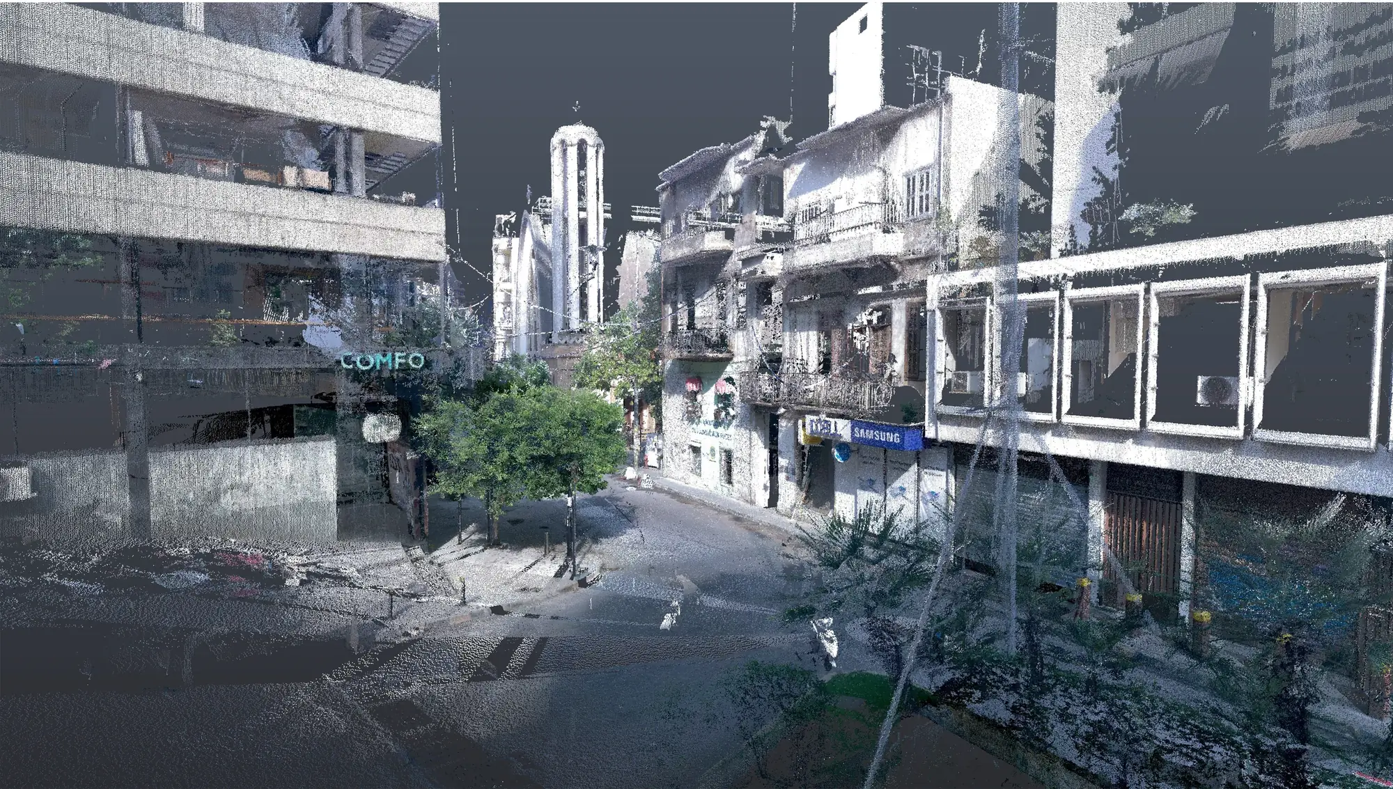
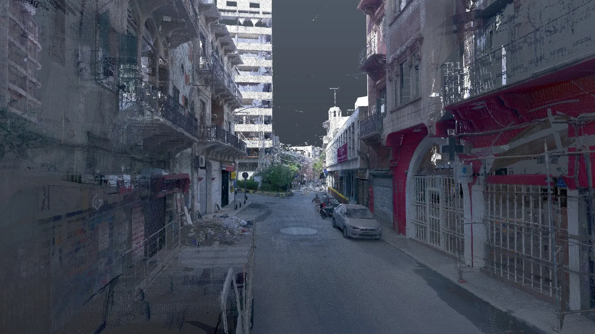
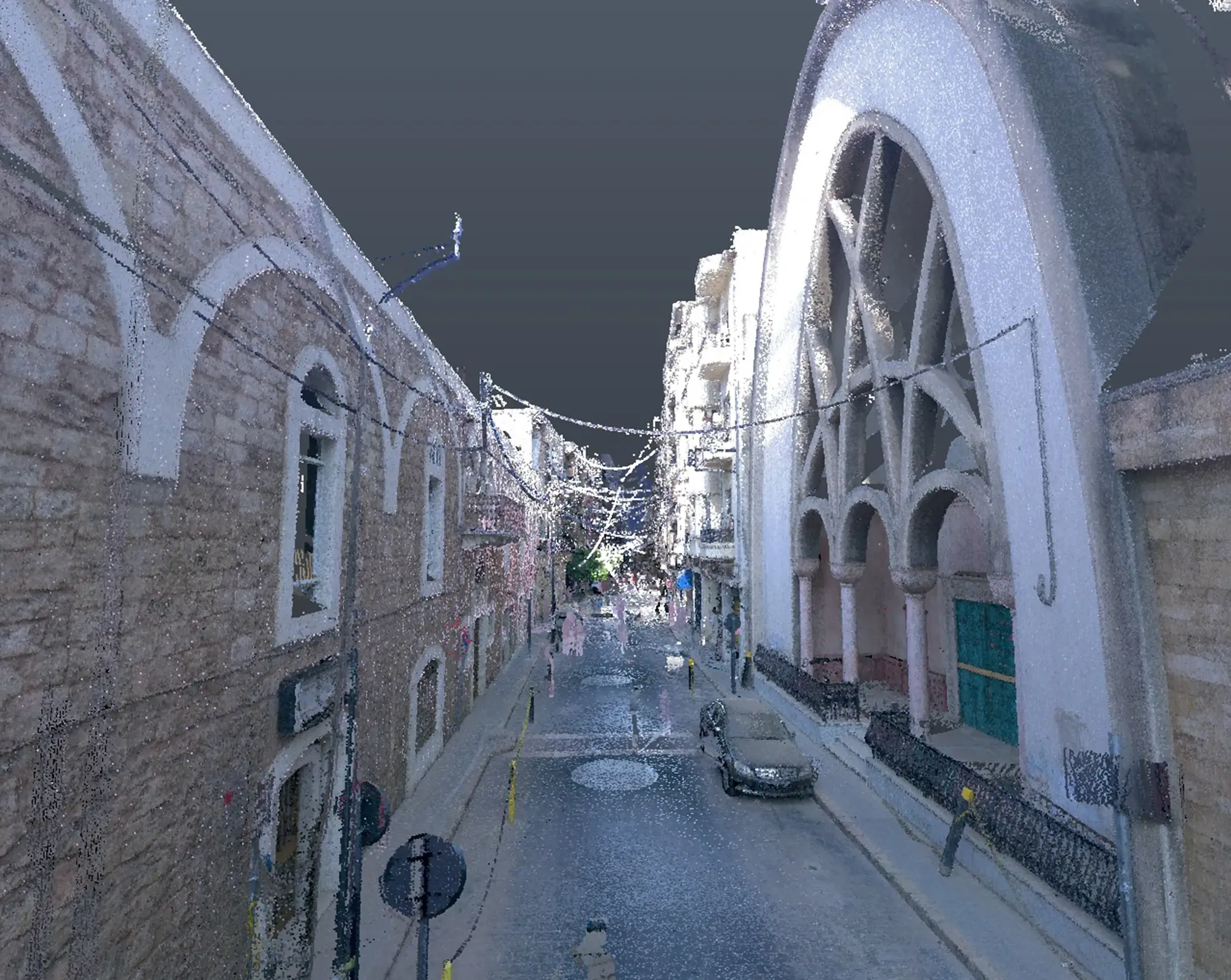
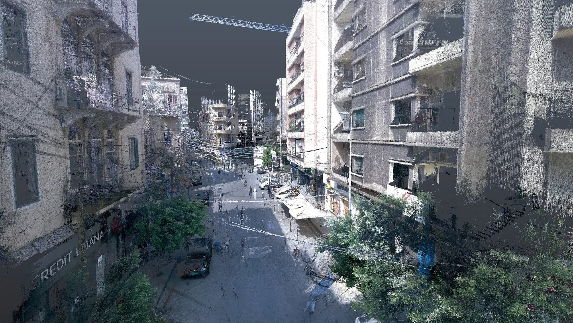
XYZ conducted 3D laser scanning and architectural documentation along Gemmayze Street to create an accurate digital record of selected buildings and streetscape conditions. The survey captured façades, architectural elements, building geometry, and the spatial relationship between structures and the surrounding urban environment. The processed data supported the development of measured documentation that can be used for architectural studies, restoration planning, damage assessment, reconstruction, and the preservation of the area’s distinctive urban and architectural character.
Client challenge
What the project needed to make possible.
The project needed to record both individual building features and the wider spatial relationship between selected structures and the Gemmayze streetscape.
XYZ scope
Methodology
Define the selected buildings and streetscape coverage
Capture façades, geometry, architectural elements, and urban relationships
Register and process the spatial dataset
Prepare measured documentation from the coordinated record
Deliverables + technology
Publicly described deliverables
- Processed point-cloud record
- Measured architectural documentation
- Existing-condition streetscape reference
Technology and methods
- 3D laser scanning
- Point-cloud processing
- CAD documentation
GEOGRAPHIC INFORMATION
- Spatial extent
- Selected buildings and streetscape conditions along Gemmayze Street, Beirut
- Coordinate system
- Not publicly disclosed
- Verification
- Scope limited to selected documented buildings and streetscape areas
- Data sources
- Field-captured laser scans · Measured spatial data
GIS layers and mapped-asset counts are omitted when they are not verified for public release.
Related services
XYZ · PROJECT INTAKE
Need a similarly integrated project workflow?
Share the site, context, source information, and required outcome. XYZ will help define the right capture, production, and delivery structure.
Discuss Your Project