
PROJECT / 13
Jbeil Castle Digital Documentation
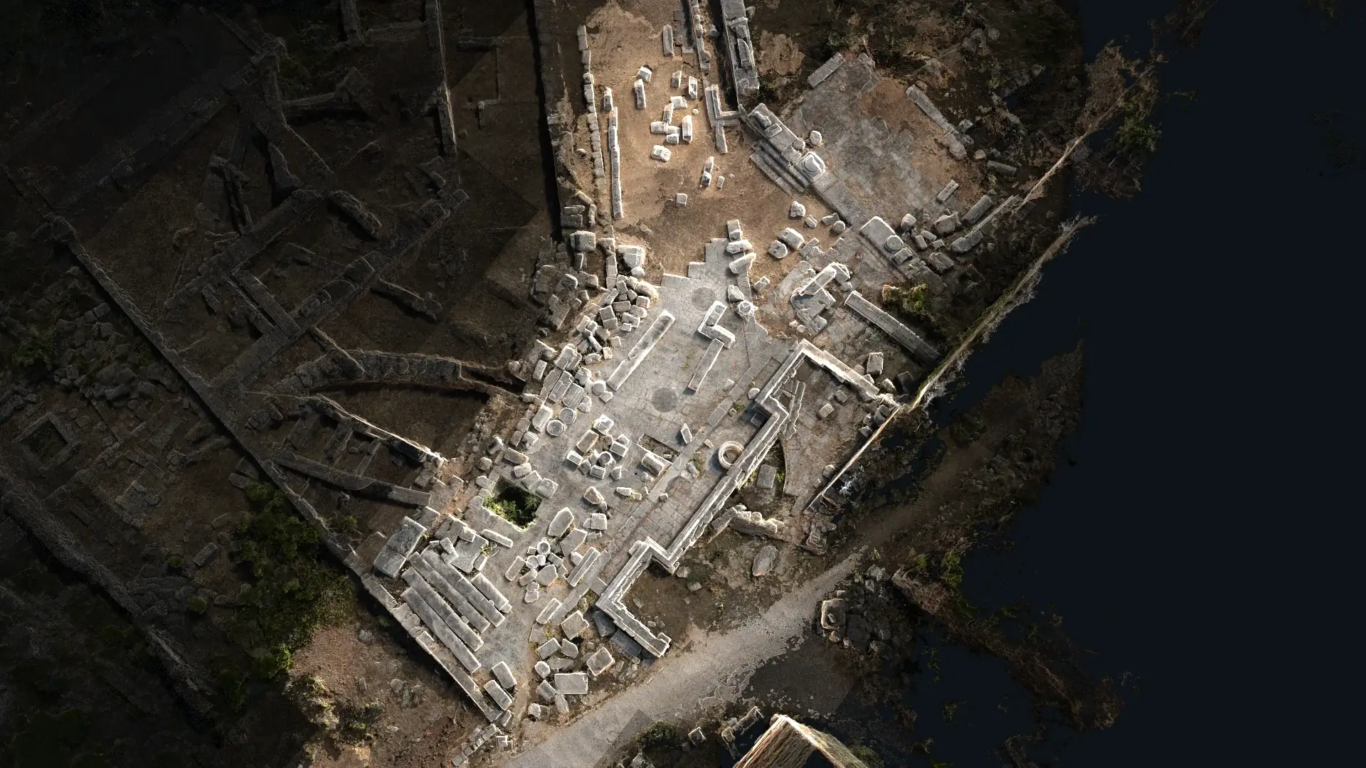 XYZ PROJECT ARCHIVE · USER-SUPPLIED IMAGE
Image archive
Selected views from the project record.
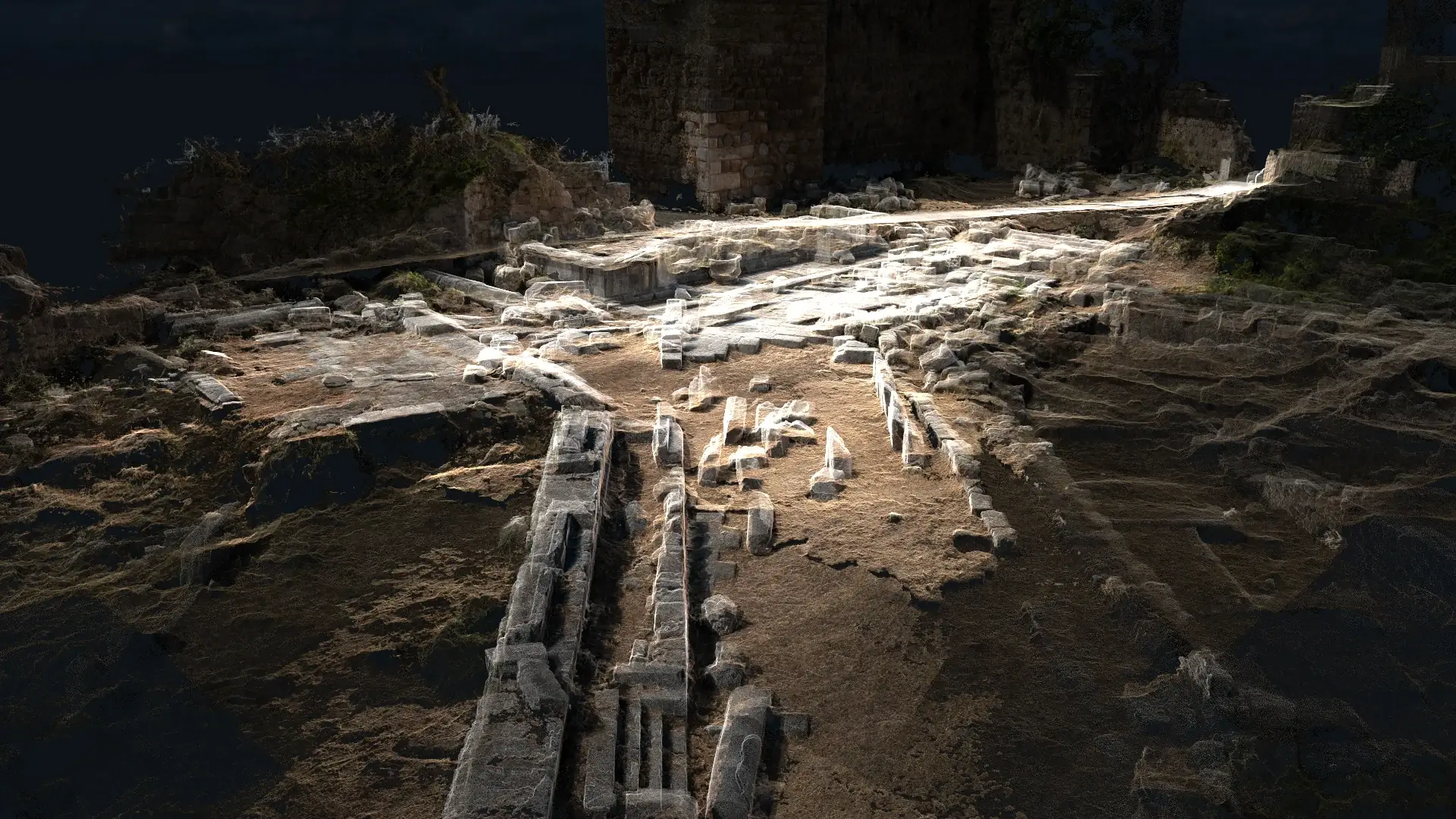
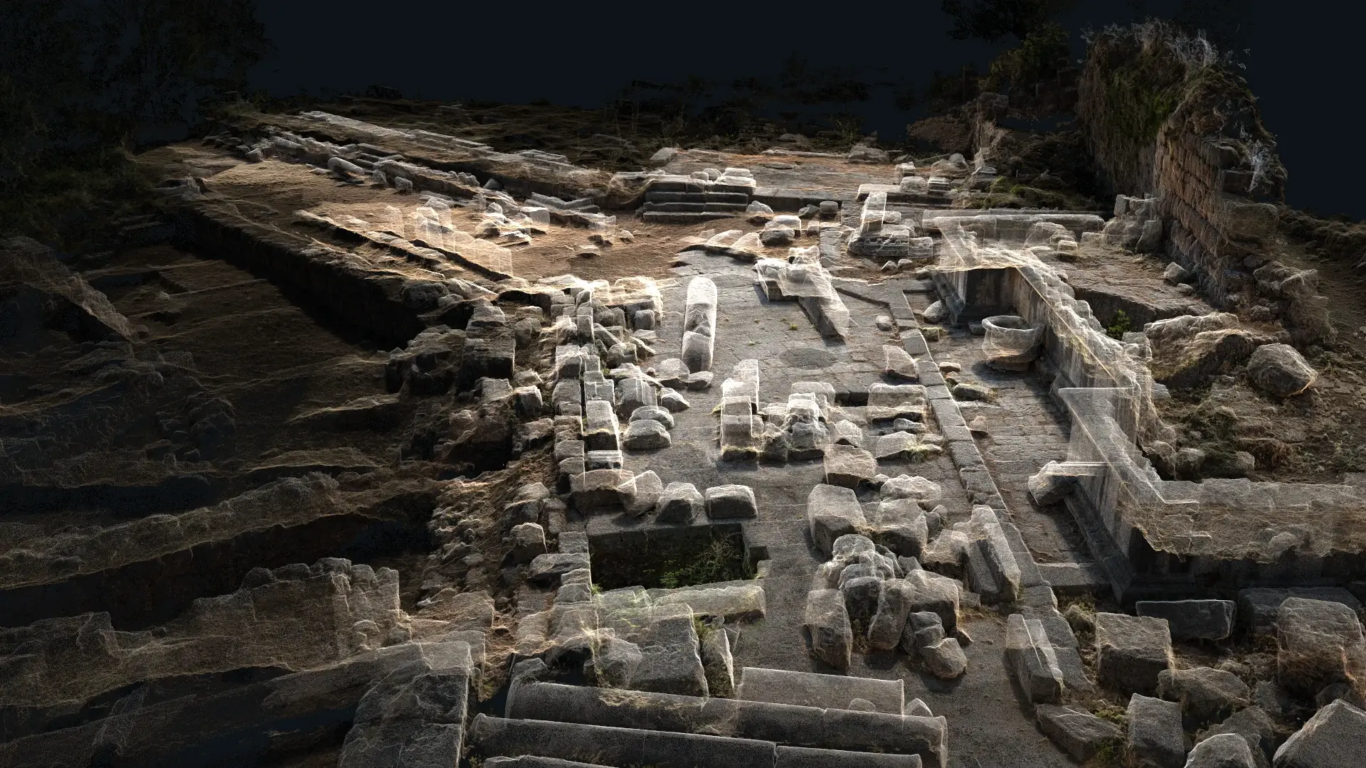
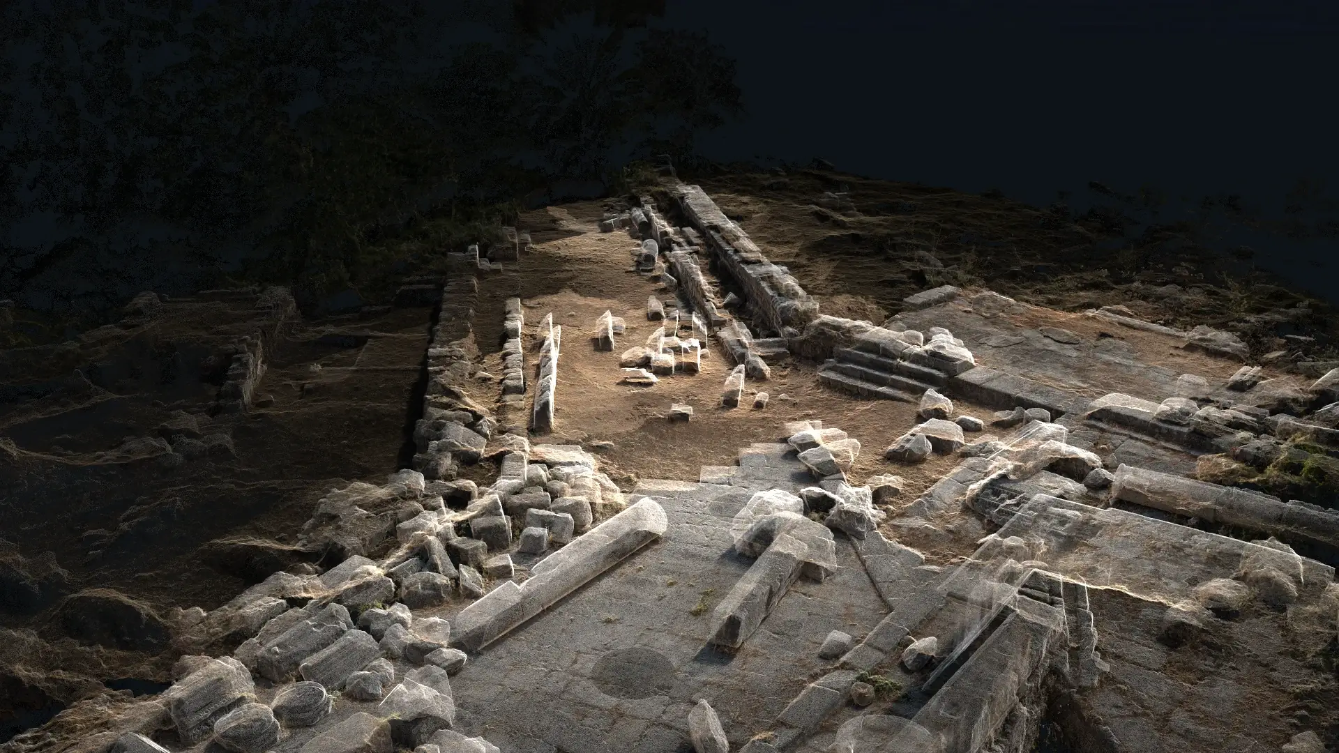
Overview
XYZ carried out the digital capture of Jbeil Castle using a combination of 3D laser scanning and photogrammetry. The integrated workflow recorded the monument’s geometry, surfaces, stone textures, architectural features, and spatial relationships in a detailed digital format. Laser scanning provided accurate dimensional information, while photogrammetry enhanced the visual documentation through high-resolution imagery and textured three-dimensional data. The resulting digital record can support conservation, archaeological research, restoration planning, interpretation, education, and the long-term preservation of the historic site.
Client challenge
What the project needed to make possible.
The monument required both accurate dimensional recording and high-resolution visual documentation of its stone surfaces, textures, and architectural features.
XYZ scope
Methodology
Plan complementary laser-scanning and photographic coverage
Capture dimensional geometry through laser scanning
Record high-resolution imagery for visual and textured data
Process and coordinate the spatial and photographic records
Deliverables + technology
Publicly described deliverables
- Detailed digital geometry record
- High-resolution photographic documentation
- Textured three-dimensional data
- Integrated heritage documentation dataset
Technology and methods
- 3D laser scanning
- Photogrammetry
- Point clouds
- Textured 3D data
GEOGRAPHIC INFORMATION
- Spatial extent
- Jbeil Castle, Jbeil, Lebanon
- Coordinate system
- Not publicly disclosed
- Verification
- Project location and supplied scope verified by XYZ
- Data sources
- Field-captured laser scans · High-resolution project photography
GIS layers and mapped-asset counts are omitted when they are not verified for public release.
Related services
XYZ · PROJECT INTAKE
Need a similarly integrated project workflow?
Share the site, context, source information, and required outcome. XYZ will help define the right capture, production, and delivery structure.
Discuss Your Project