
PROJECT / 14
Nawfal Palace Digital Documentation
 XYZ PROJECT ARCHIVE · USER-SUPPLIED IMAGE
Image archive
Selected views from the project record.
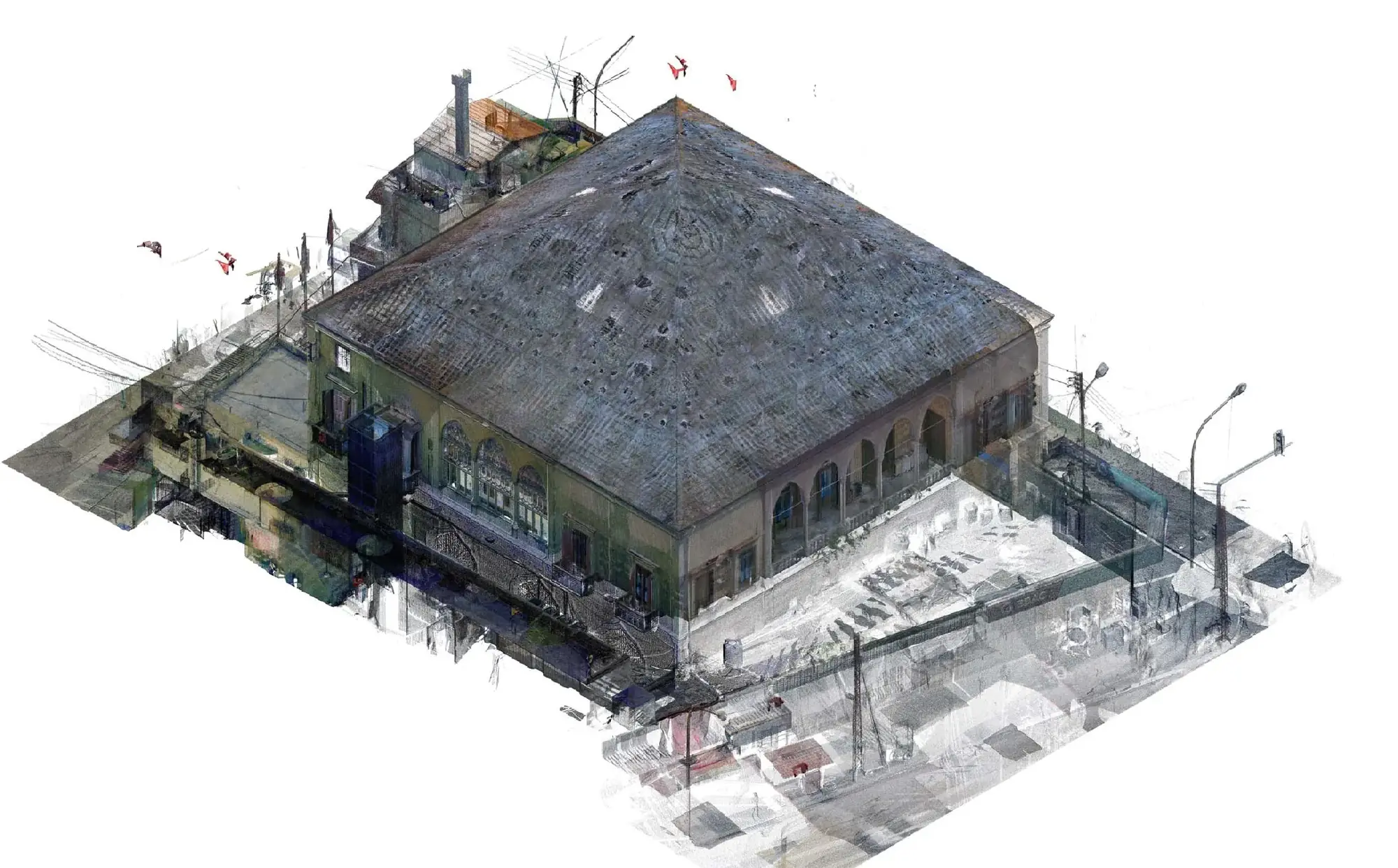
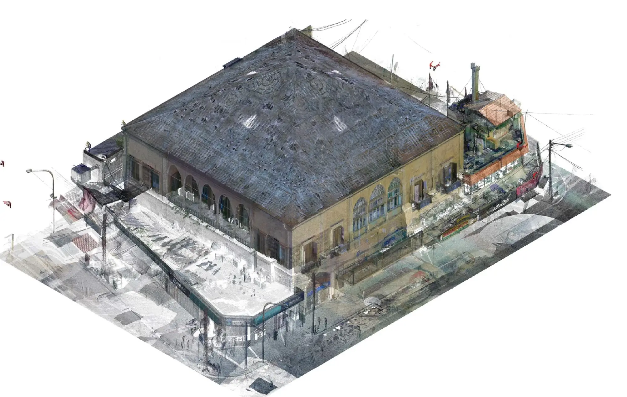
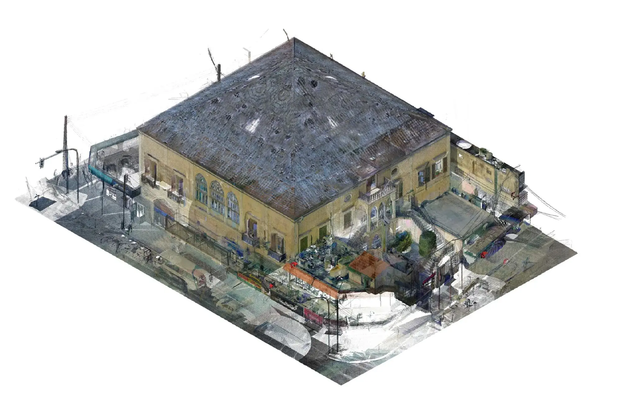
Overview
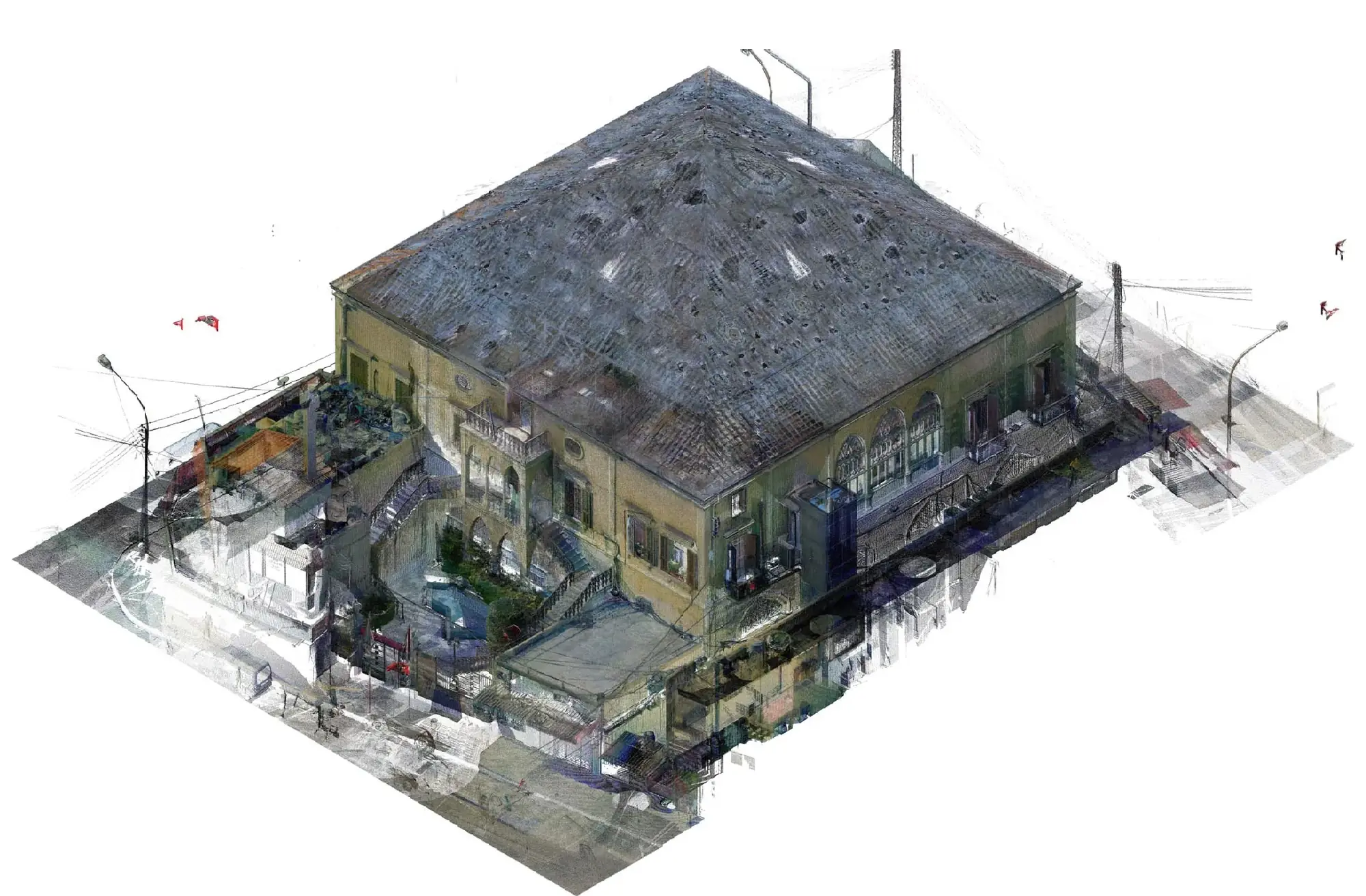
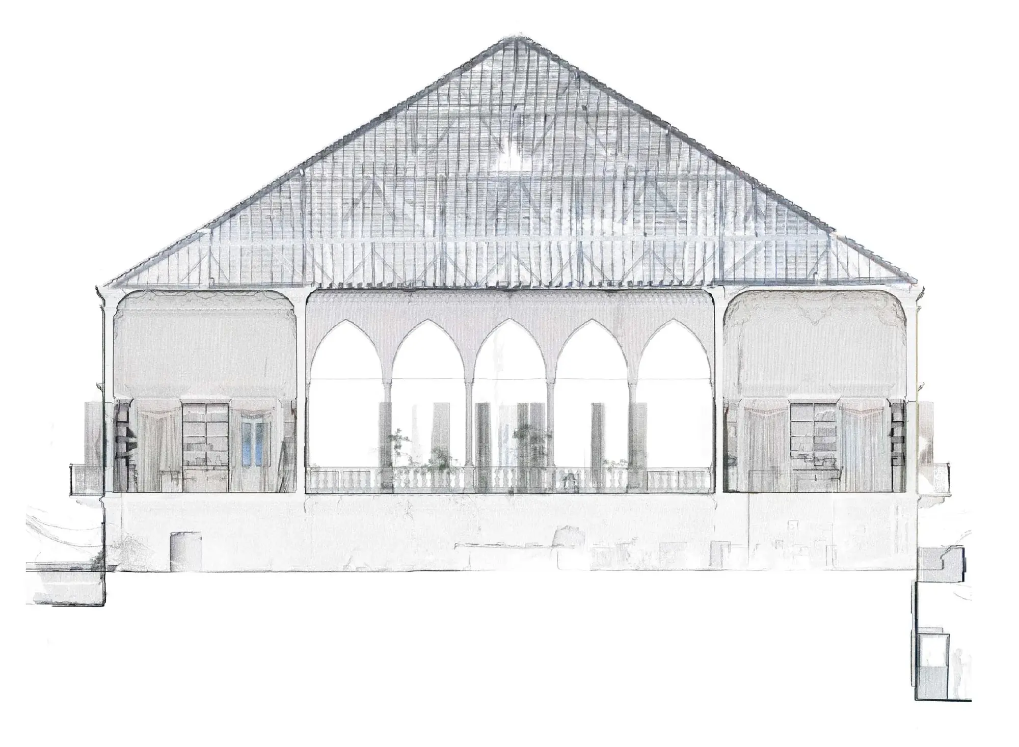
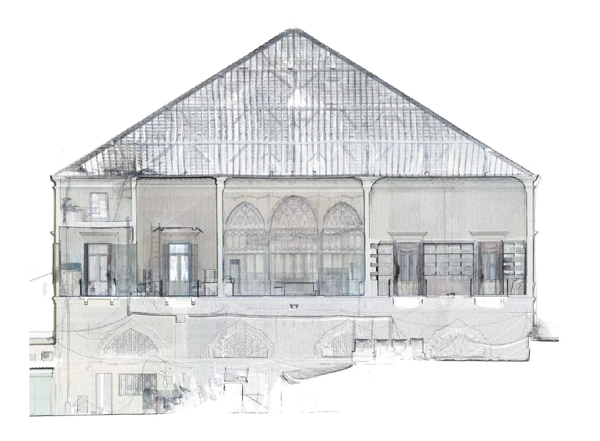
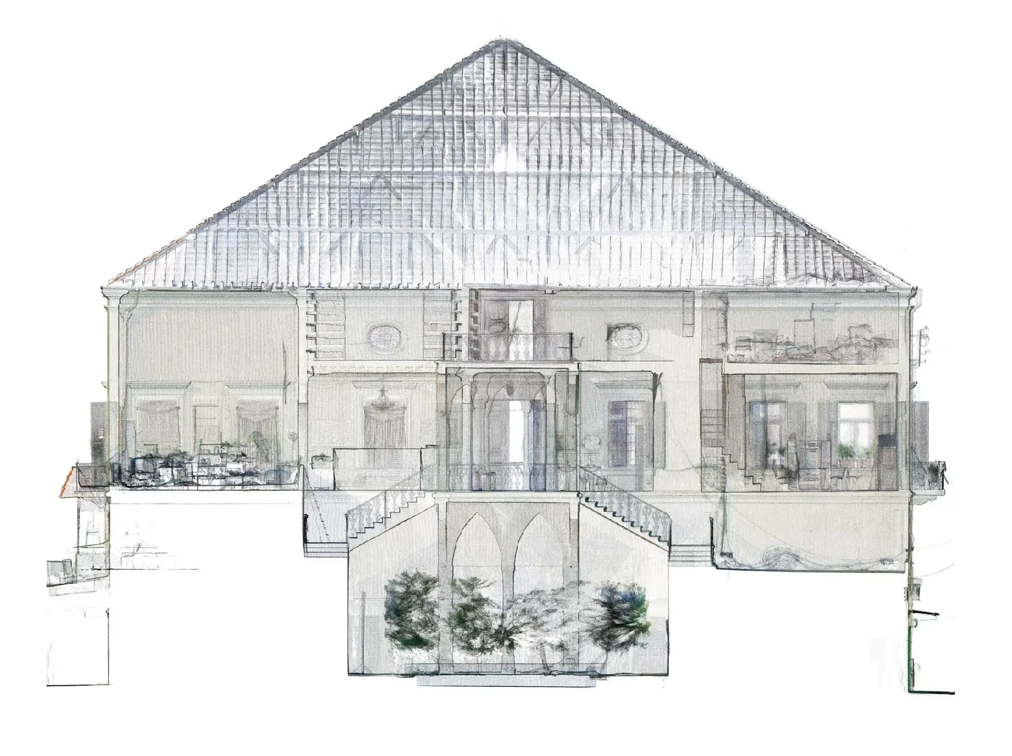
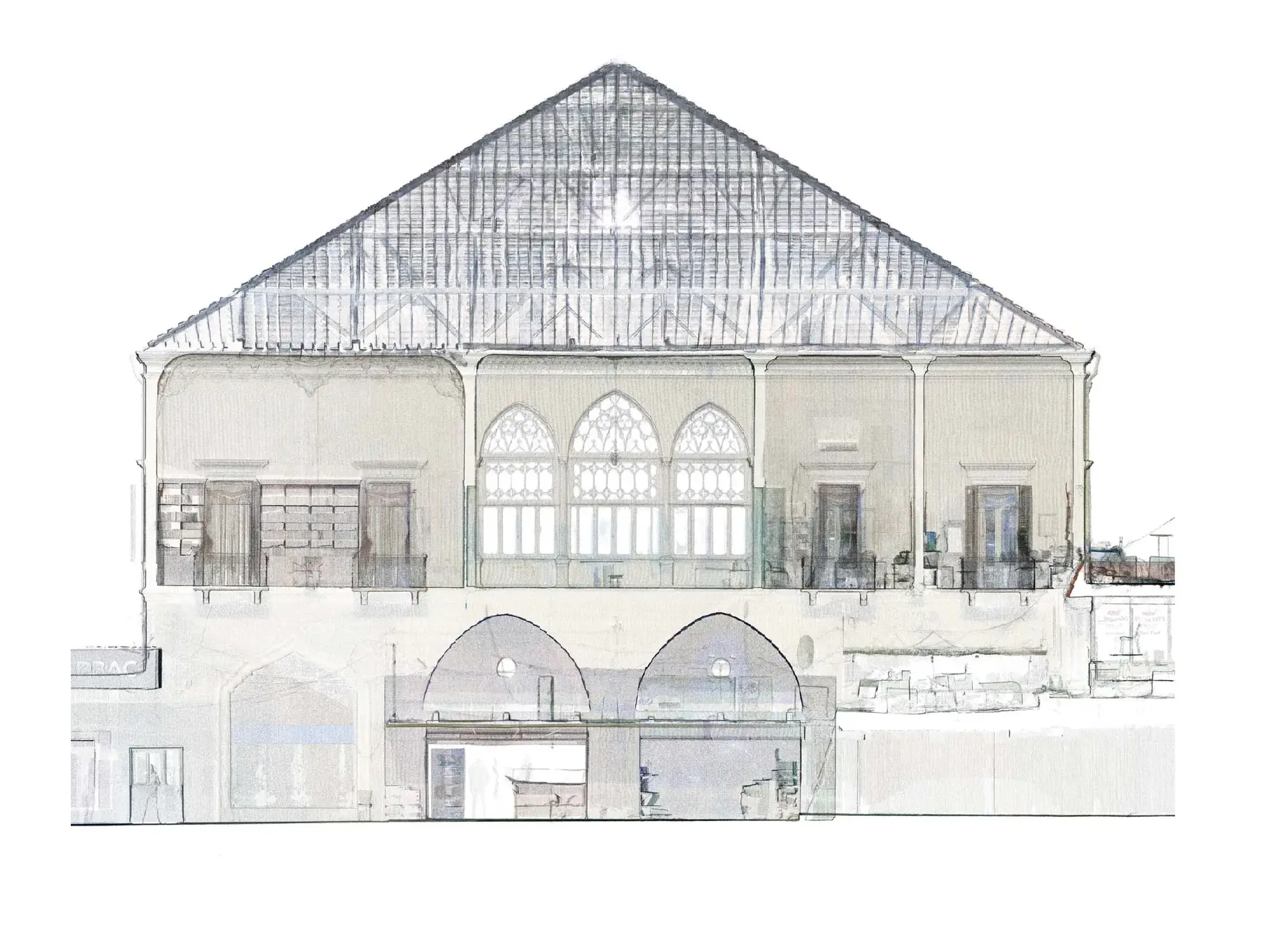
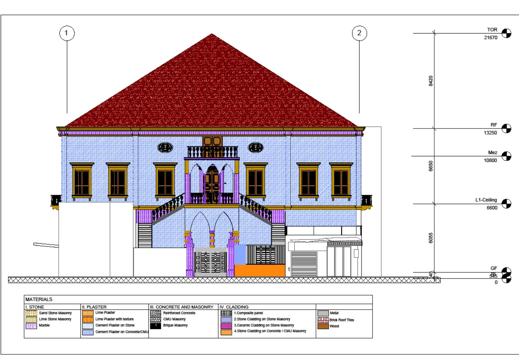
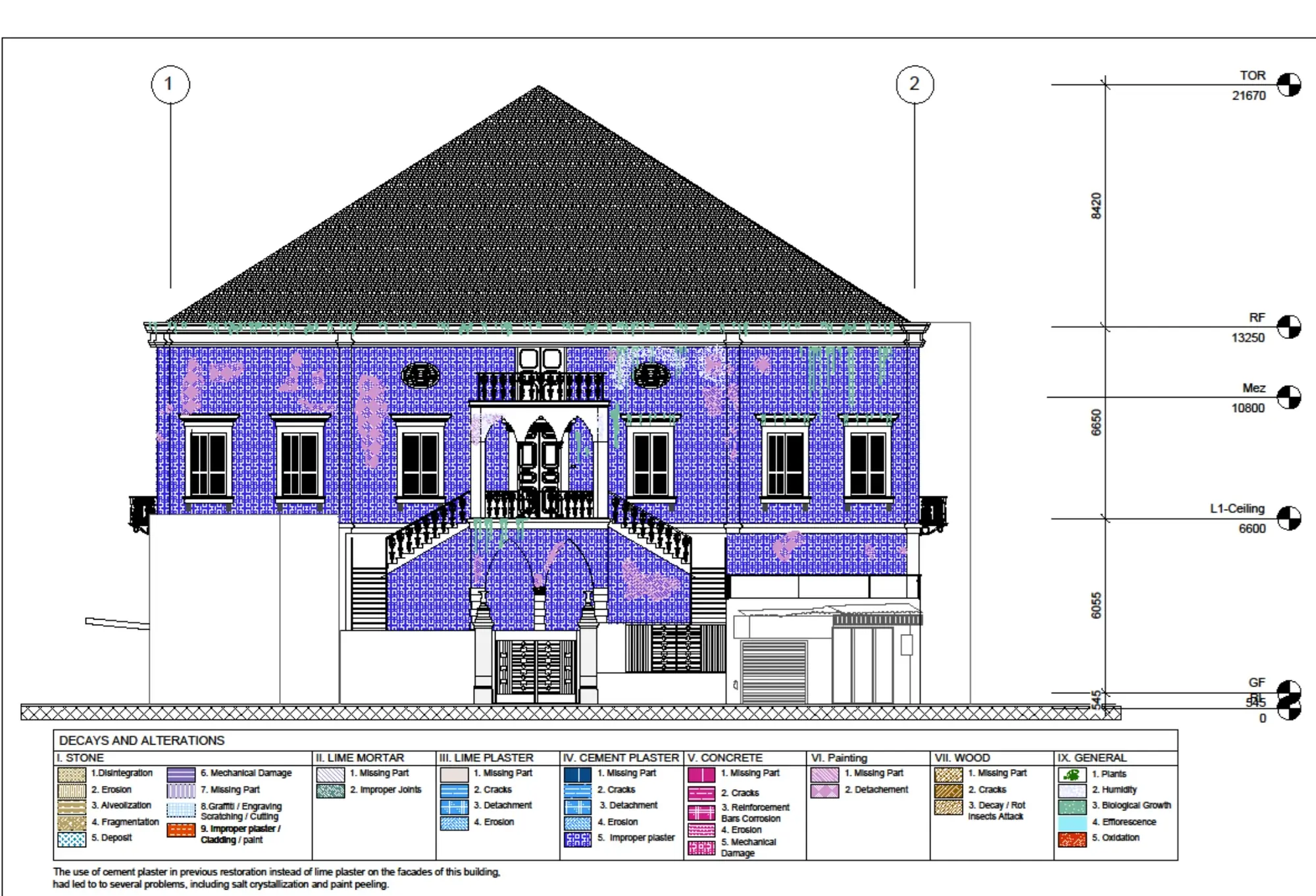
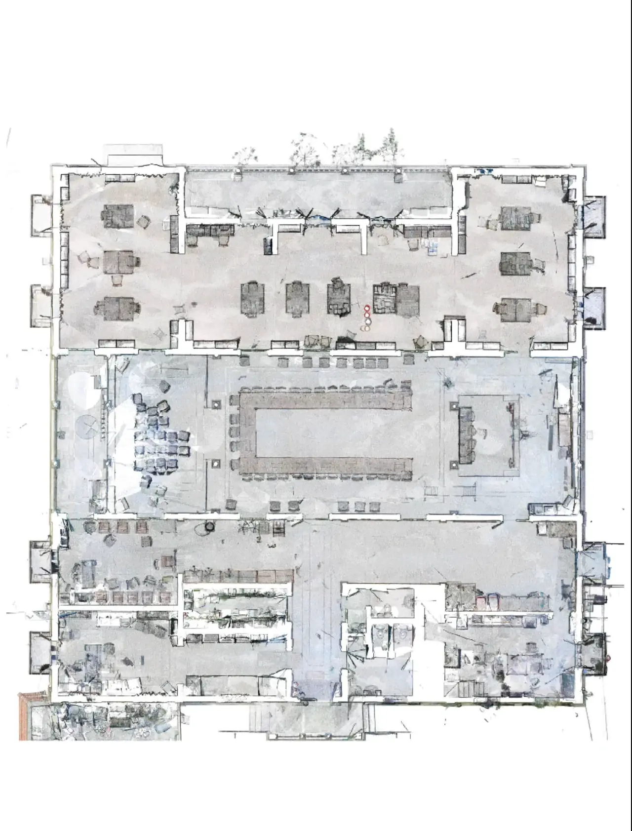
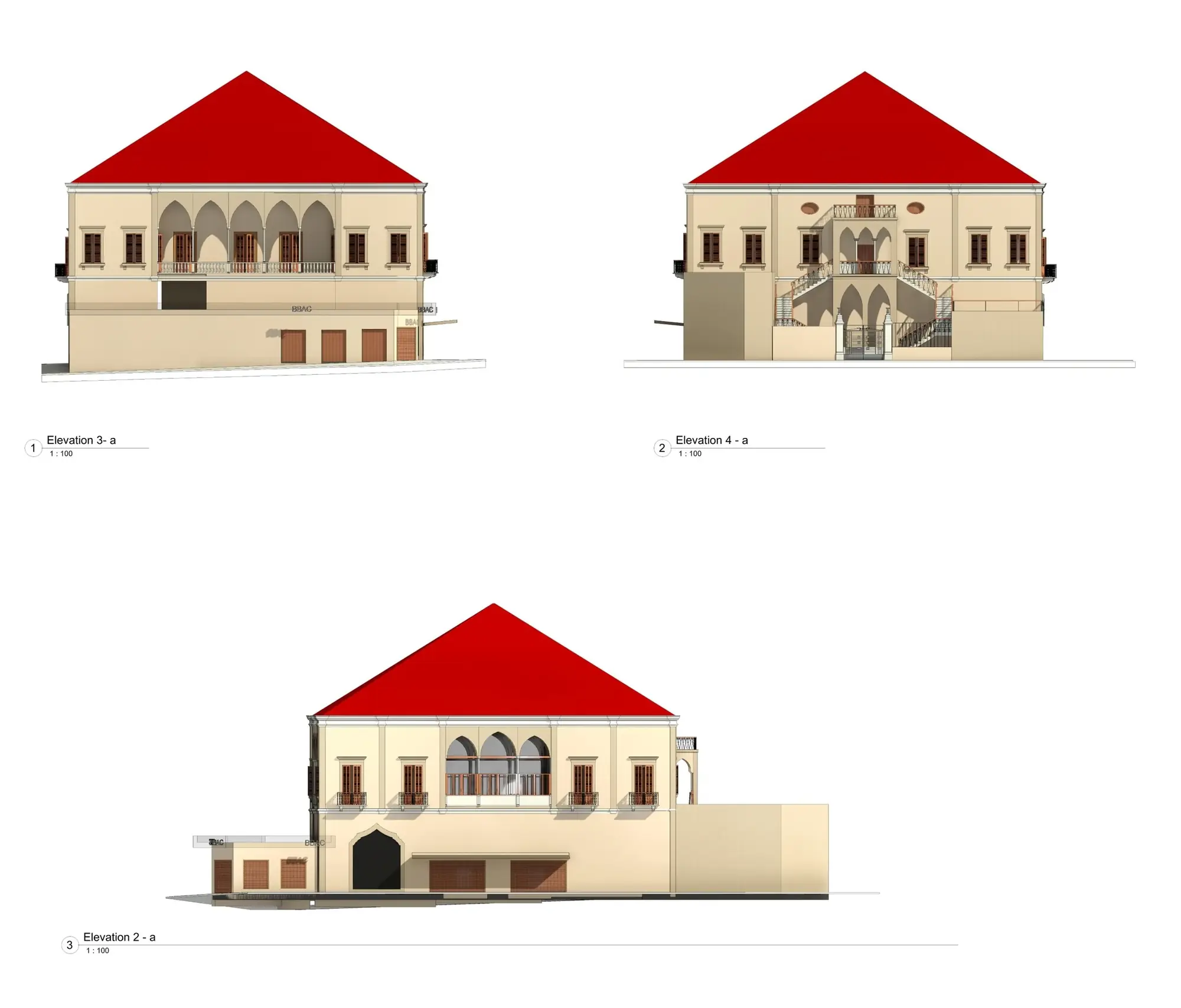
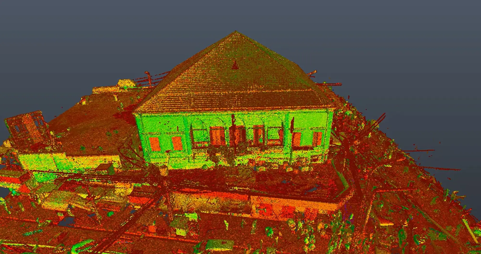
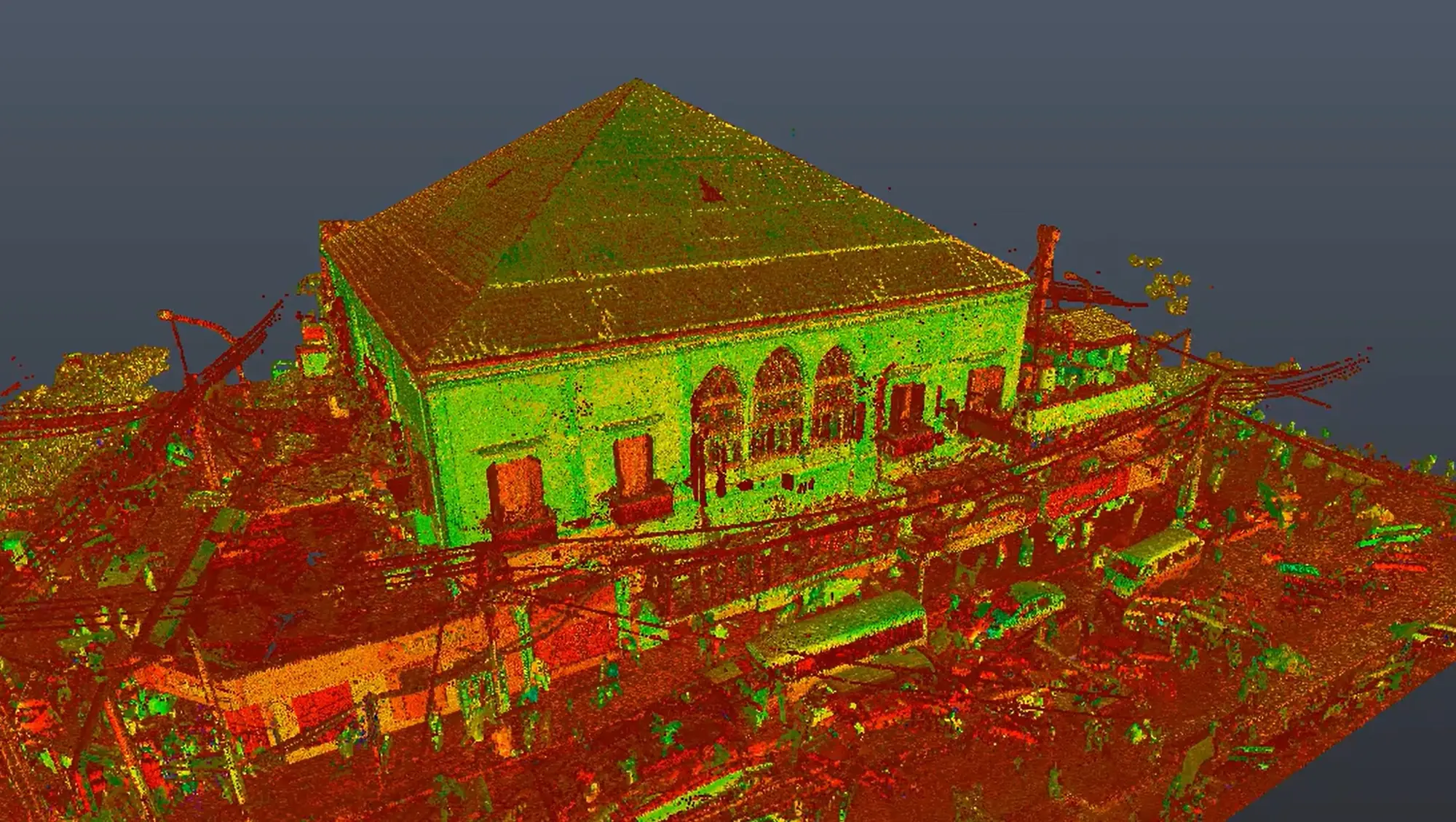
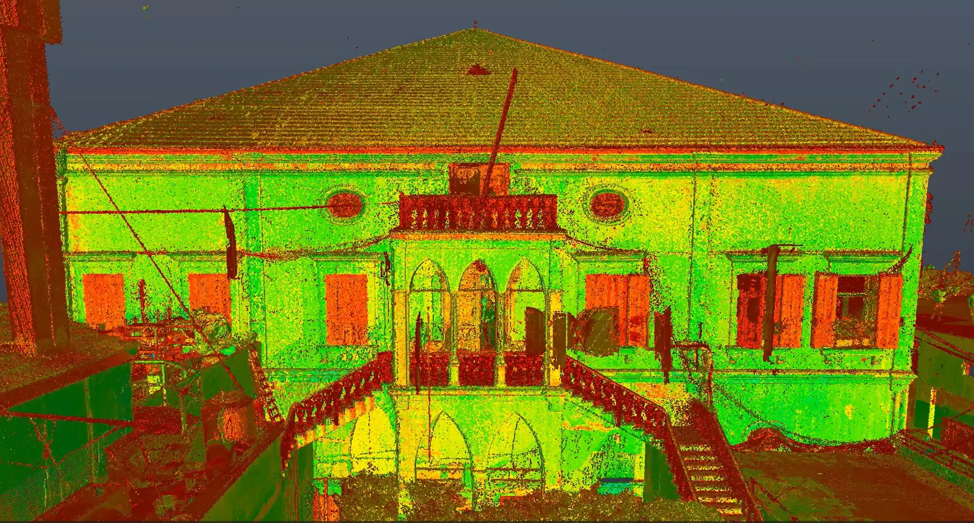
XYZ completed a comprehensive digital-documentation workflow for Nawfal Palace using 3D laser scanning, photogrammetry, BIM modeling, and conservation-state analysis simulation. The building’s geometry, architectural components, material surfaces, and visible conditions were captured and organized into a coordinated digital dataset. The point-cloud and photographic information supported the development of an existing-condition BIM model, while the conservation analysis helped visualize and document areas of deterioration or concern. The resulting deliverables provide a strong technical foundation for conservation planning, restoration decisions, research, and long-term building management.
Client challenge
What the project needed to make possible.
Geometry, architectural components, material surfaces, and visible deterioration needed to be coordinated in a single technical record suitable for conservation decisions.
XYZ scope
Methodology
Capture building geometry, components, surfaces, and visible conditions
Register and coordinate point-cloud and photographic information
Develop an existing-condition BIM model
Visualize and document identified areas of deterioration or concern
Deliverables + technology
Publicly described deliverables
- Coordinated digital documentation dataset
- Processed point-cloud and photographic records
- Existing-condition BIM model
- Conservation-state analysis visualization
Technology and methods
- 3D laser scanning
- Photogrammetry
- Point-cloud processing
- BIM modeling
- Condition-analysis visualization
GEOGRAPHIC INFORMATION
- Spatial extent
- Nawfal Palace, Tripoli, Lebanon
- Coordinate system
- Not publicly disclosed
- Verification
- Project location and supplied scope verified by XYZ
- Data sources
- Field-captured laser scans · Project photography · Recorded visible conditions
GIS layers and mapped-asset counts are omitted when they are not verified for public release.
Related services
XYZ · PROJECT INTAKE
Need a similarly integrated project workflow?
Share the site, context, source information, and required outcome. XYZ will help define the right capture, production, and delivery structure.
Discuss Your Project