
PROJECT / 15
Point-Cloud Visual Collection
 XYZ PROJECT ARCHIVE · USER-SUPPLIED IMAGE
Image archive
Selected views from the project record.
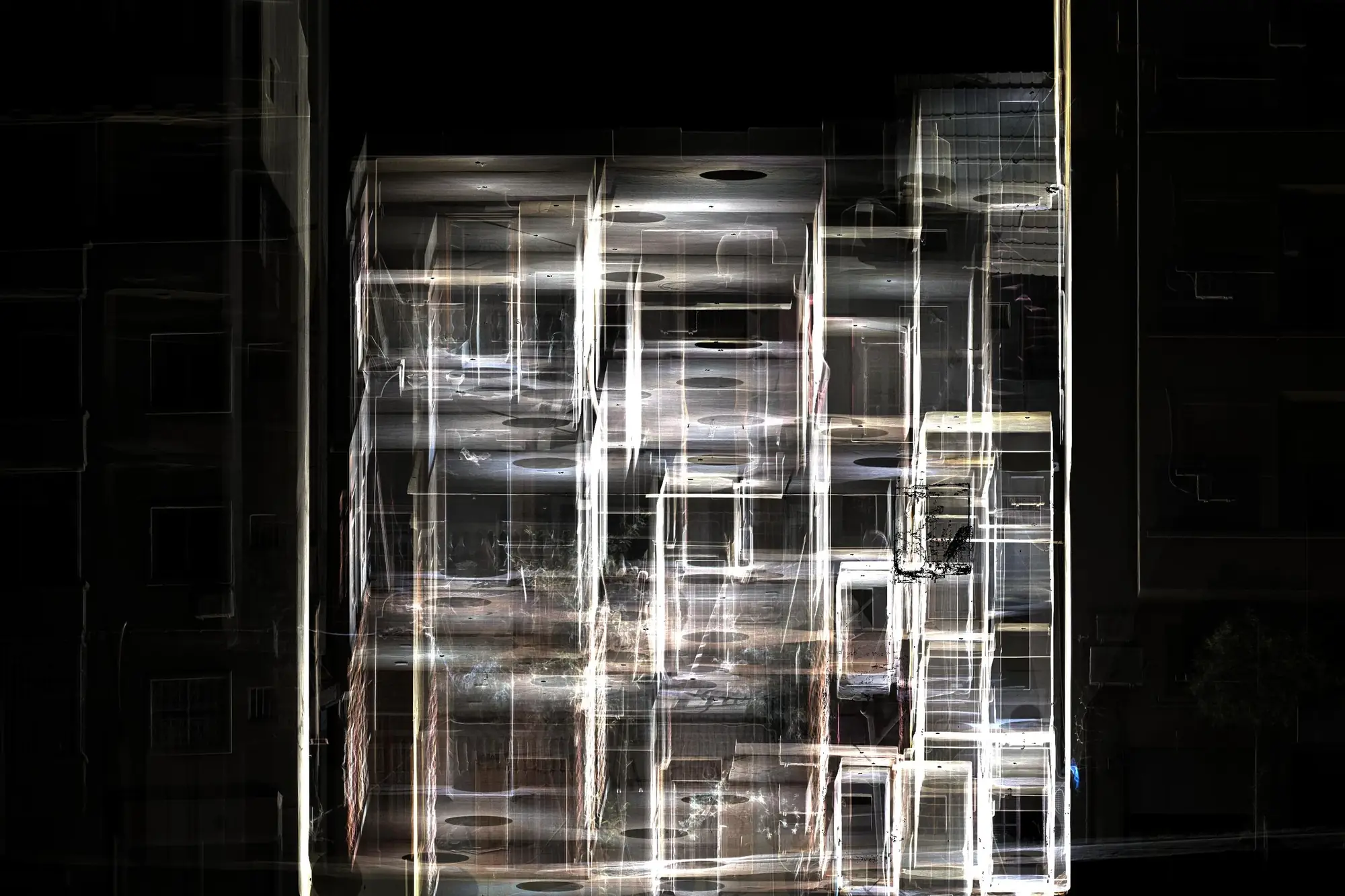
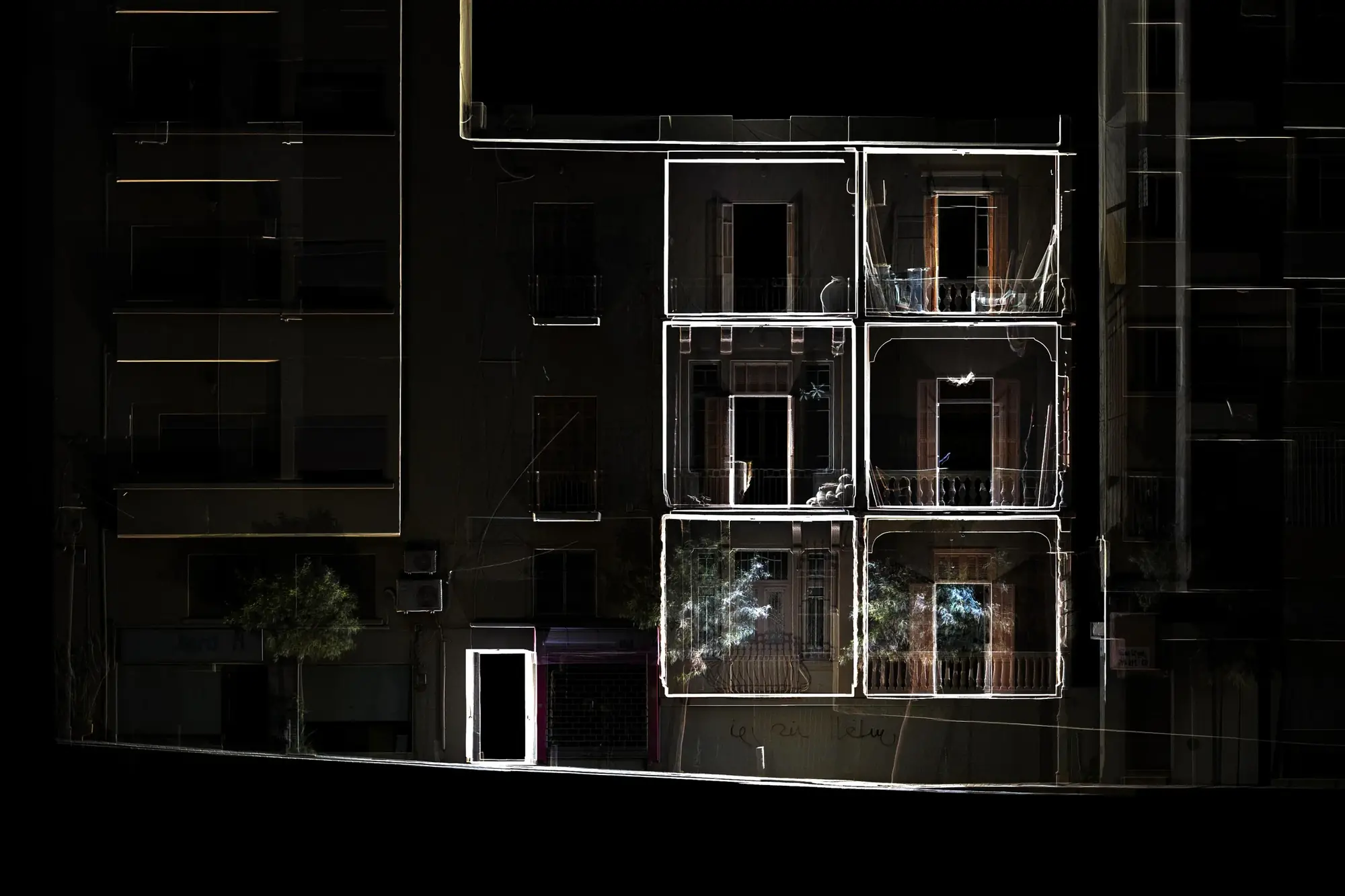
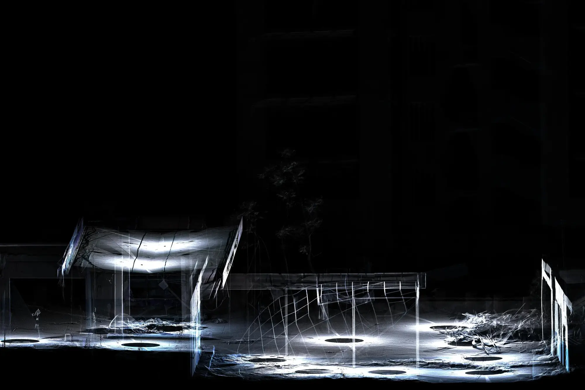
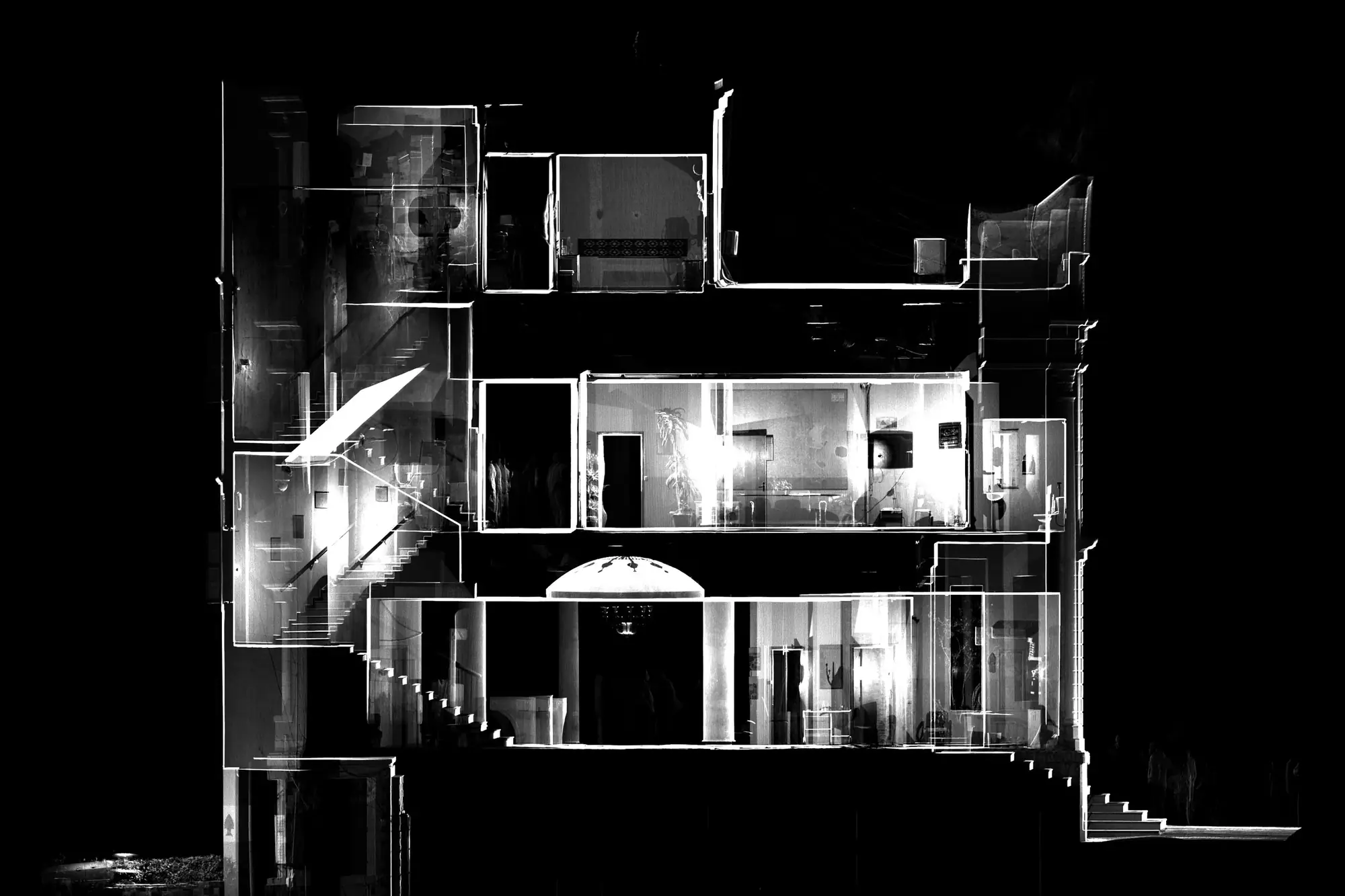
Overview
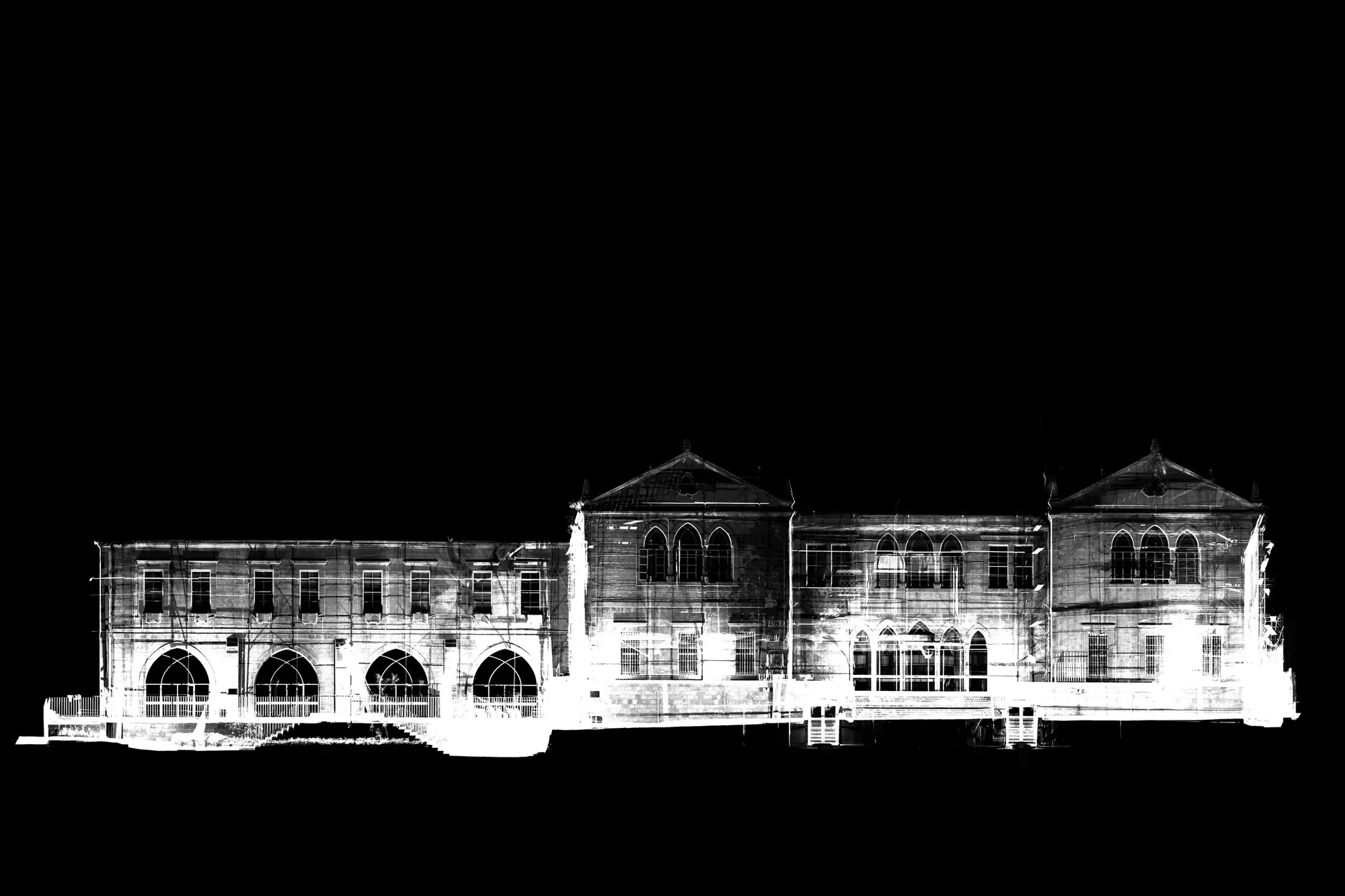
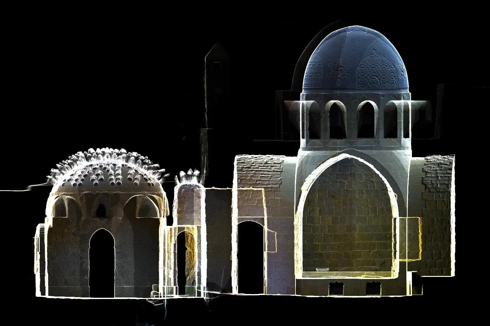
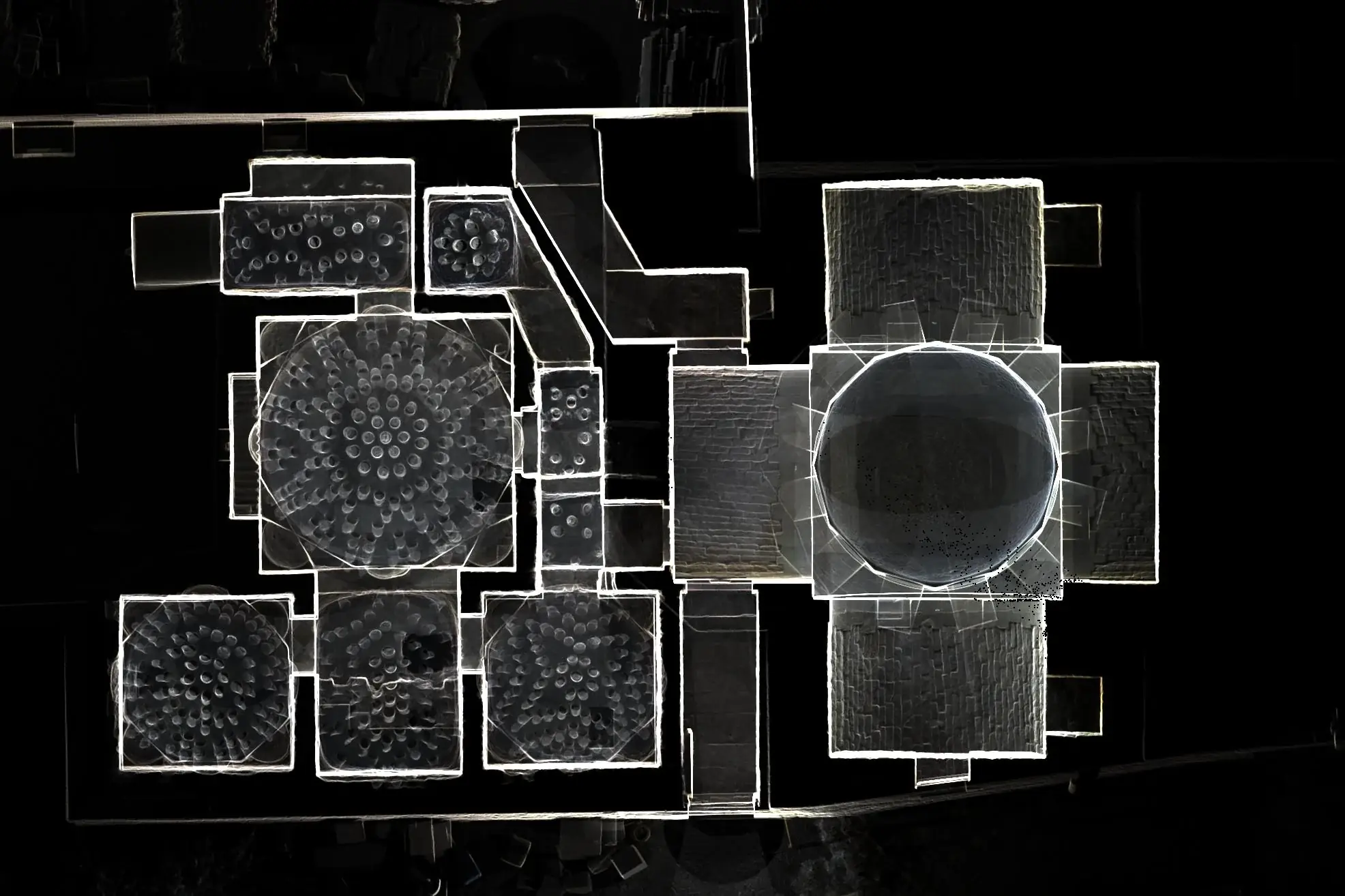
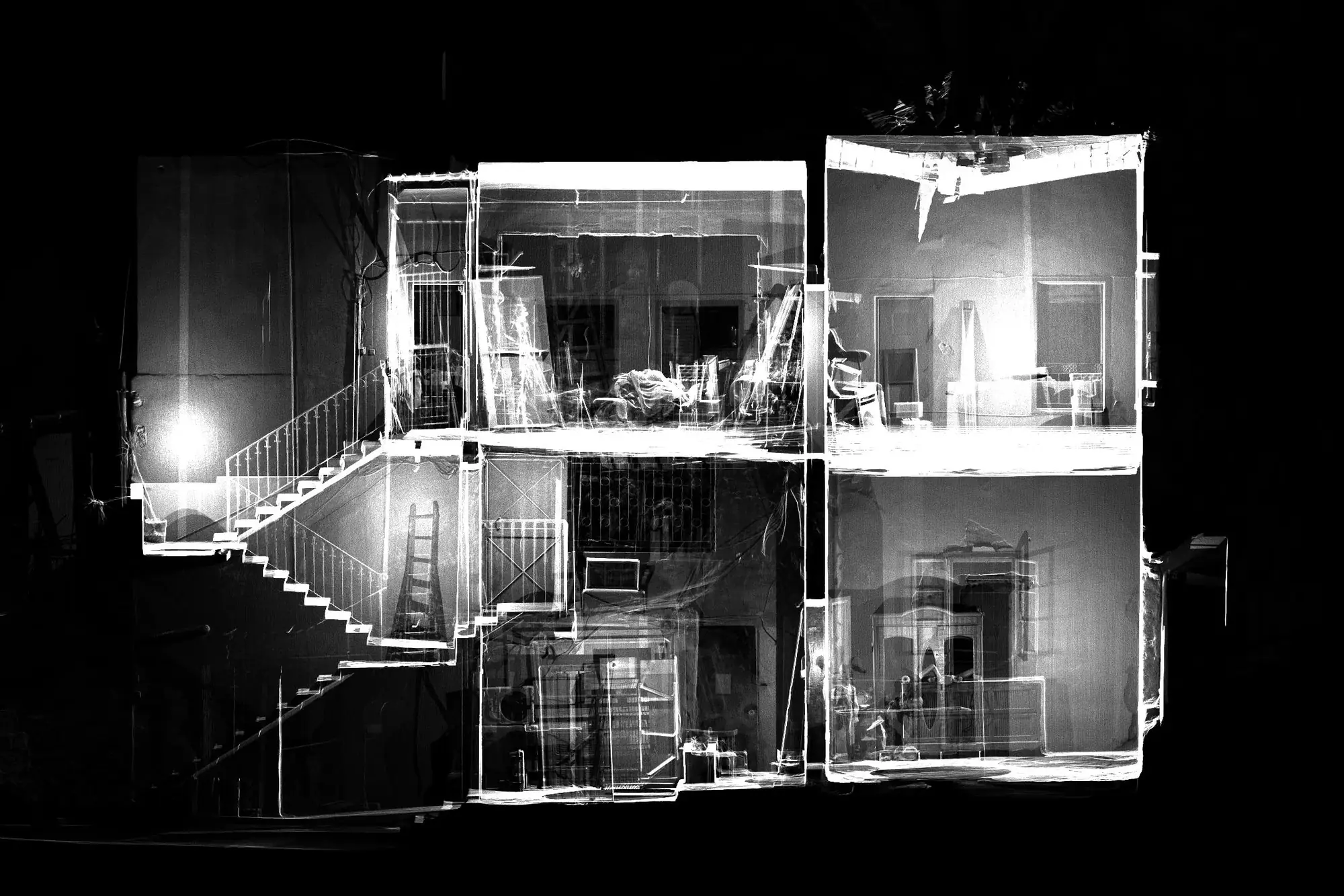
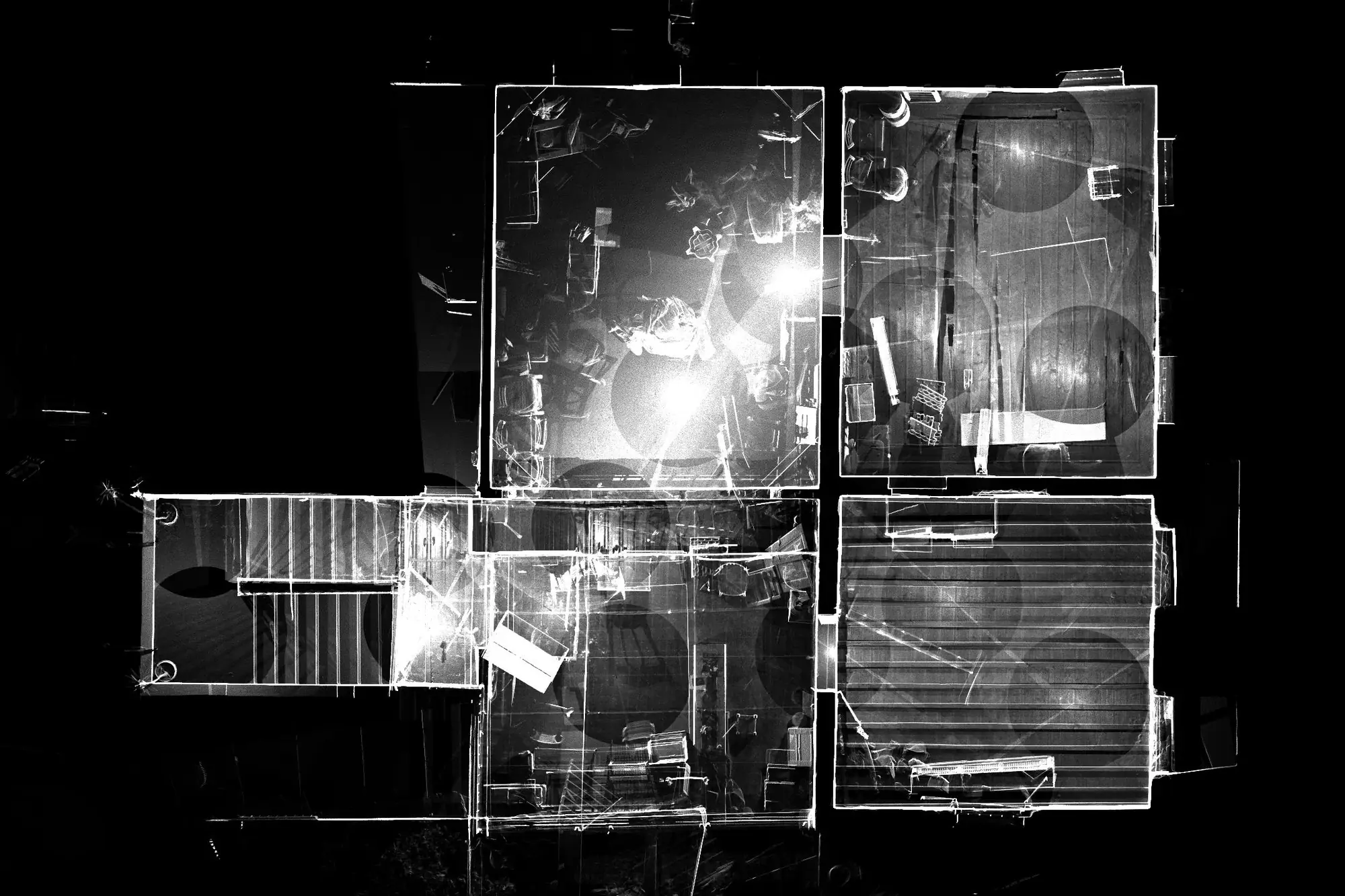
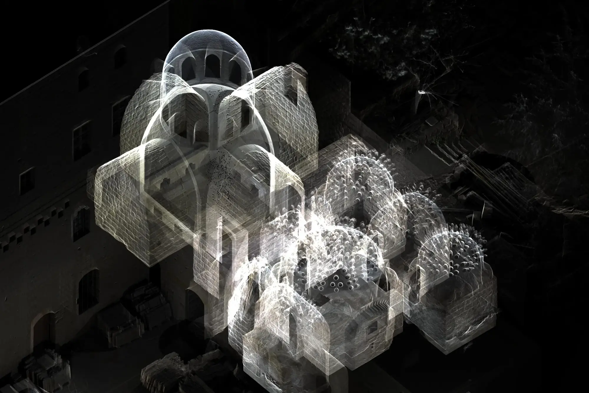
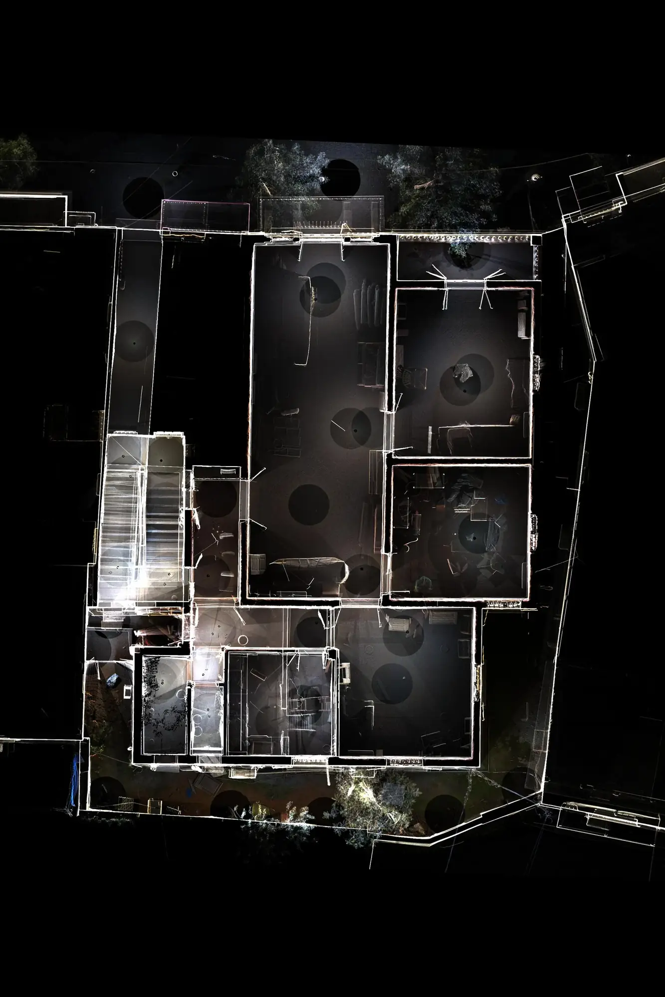
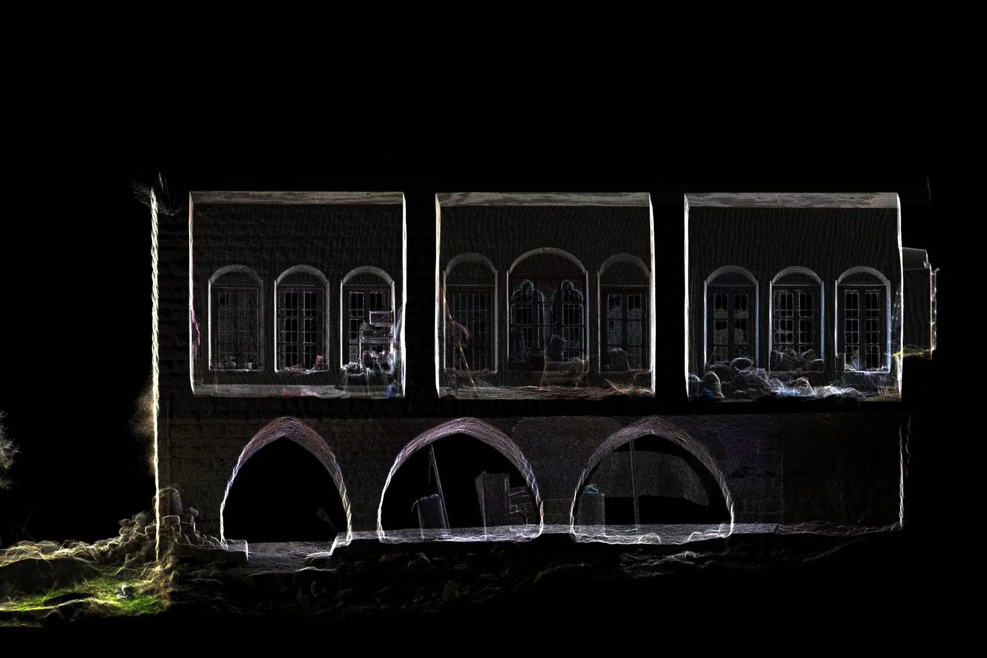
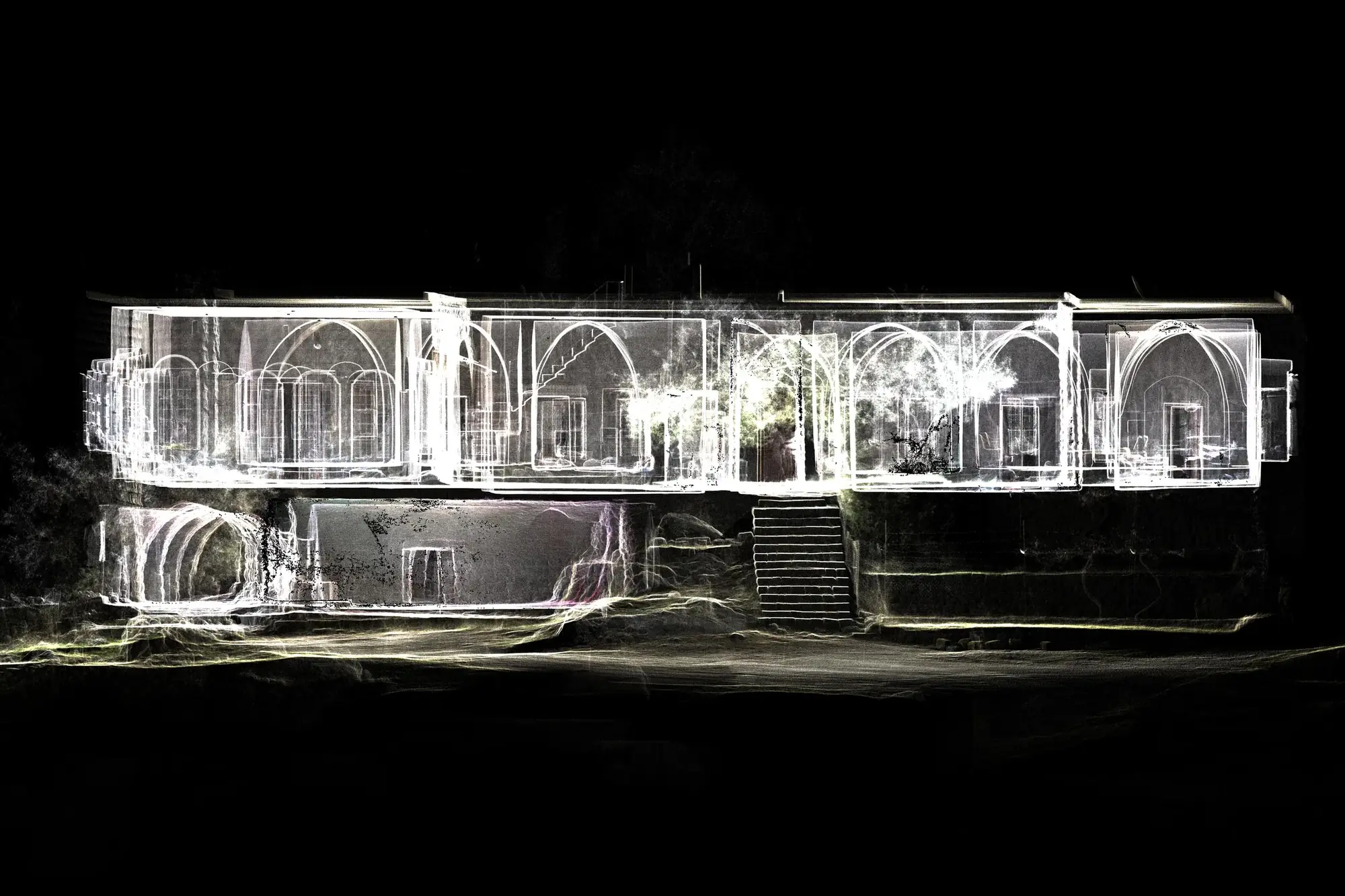
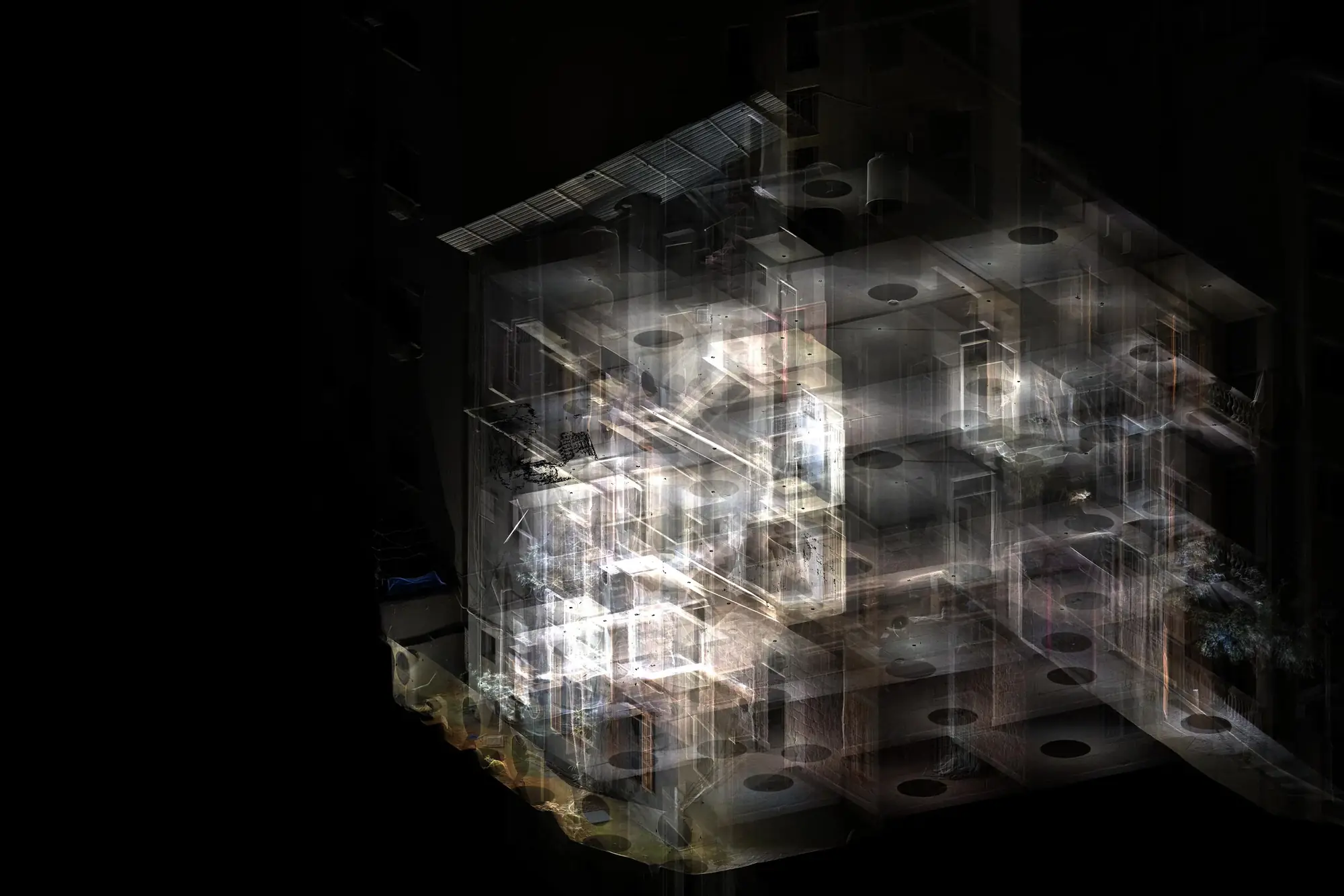
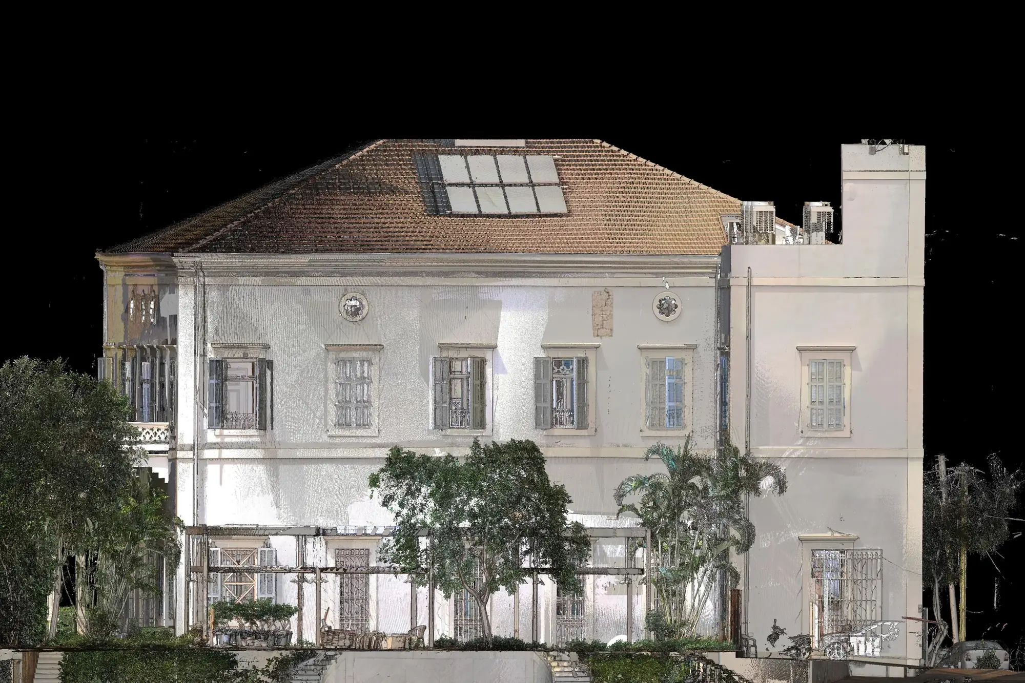
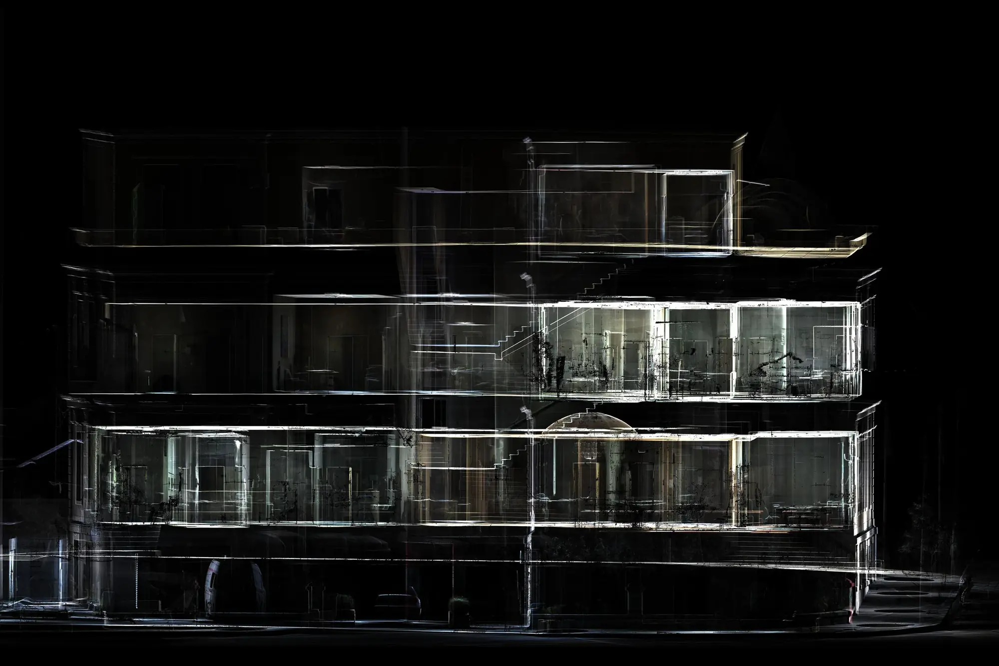
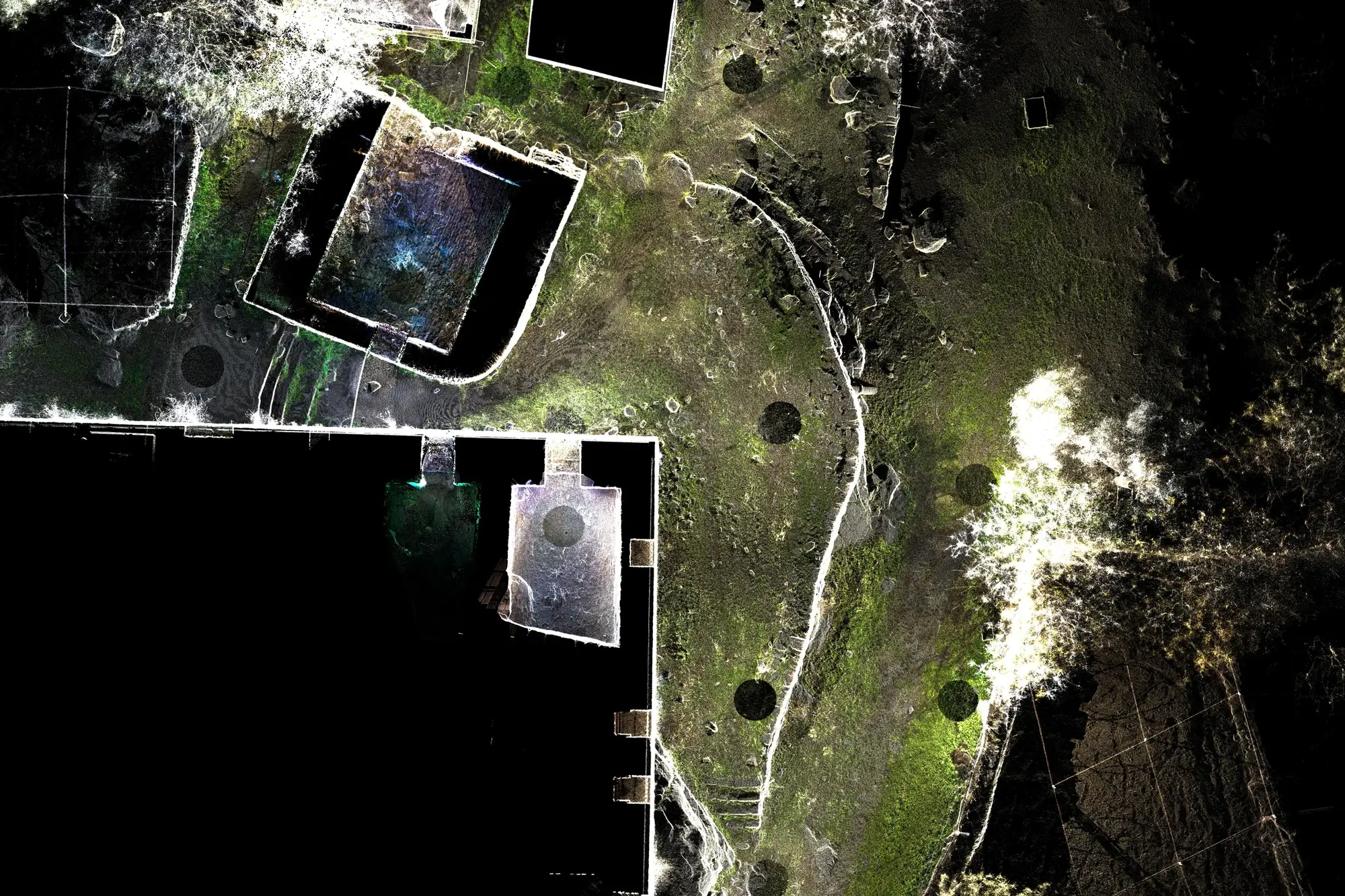
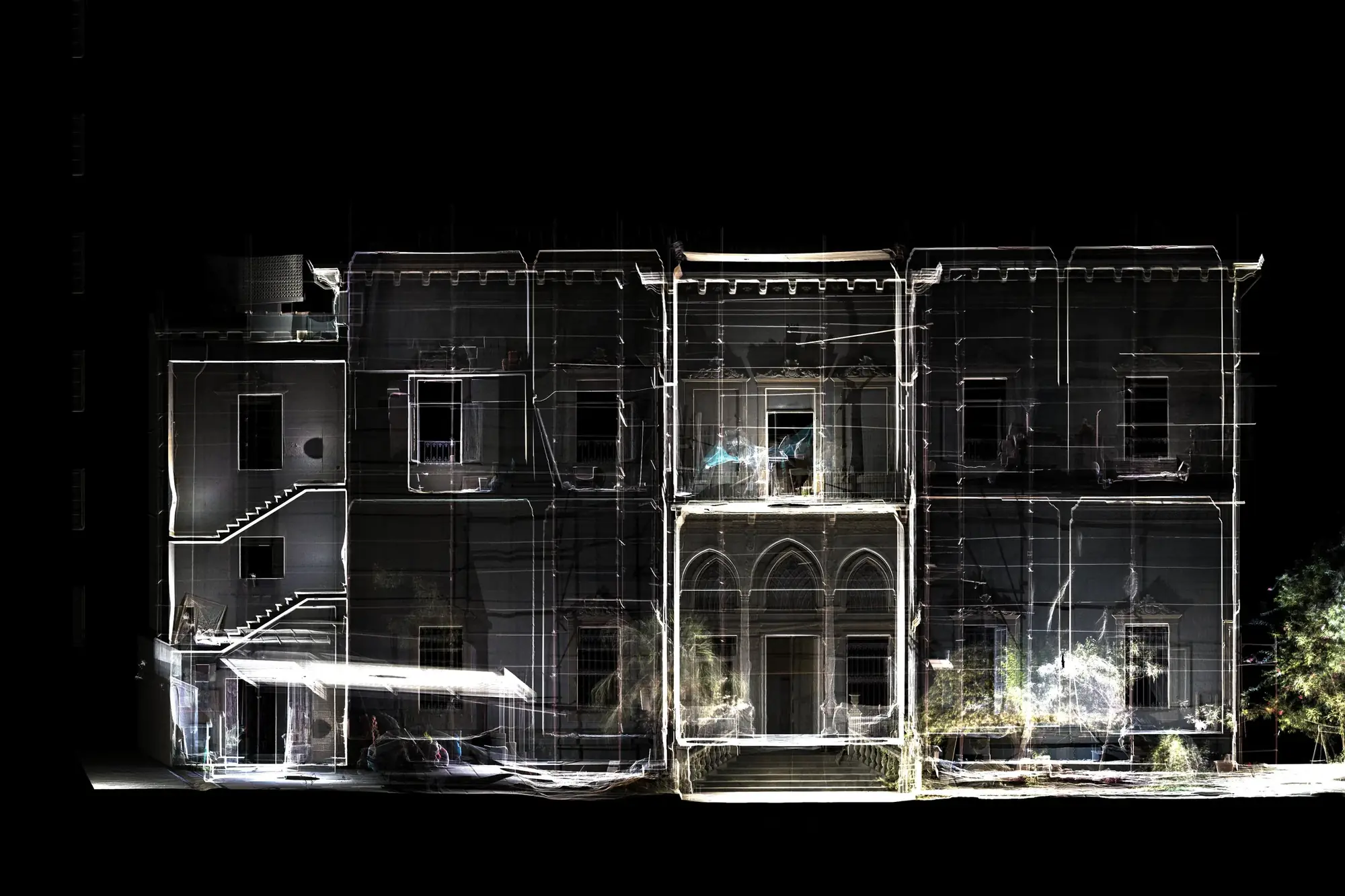
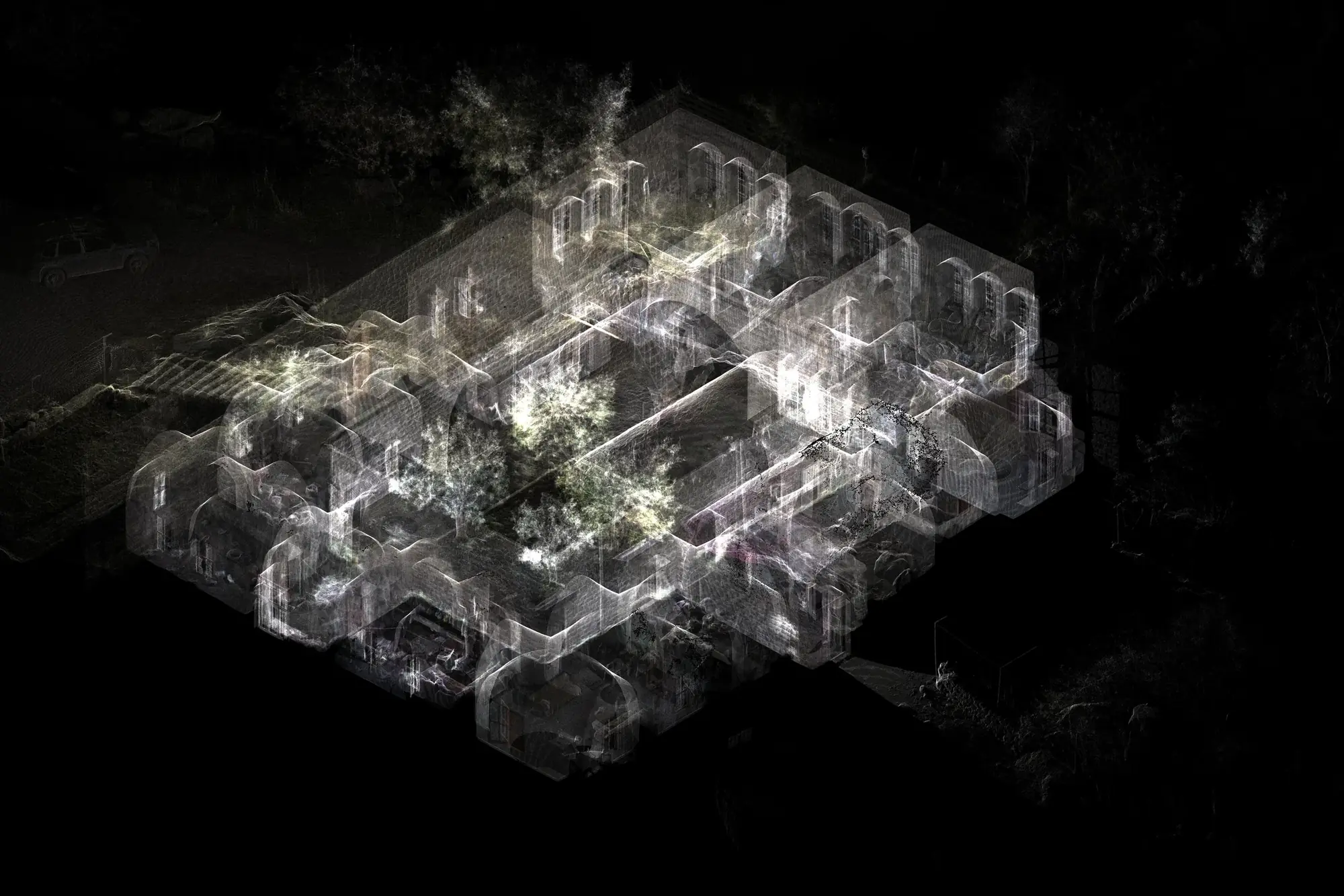
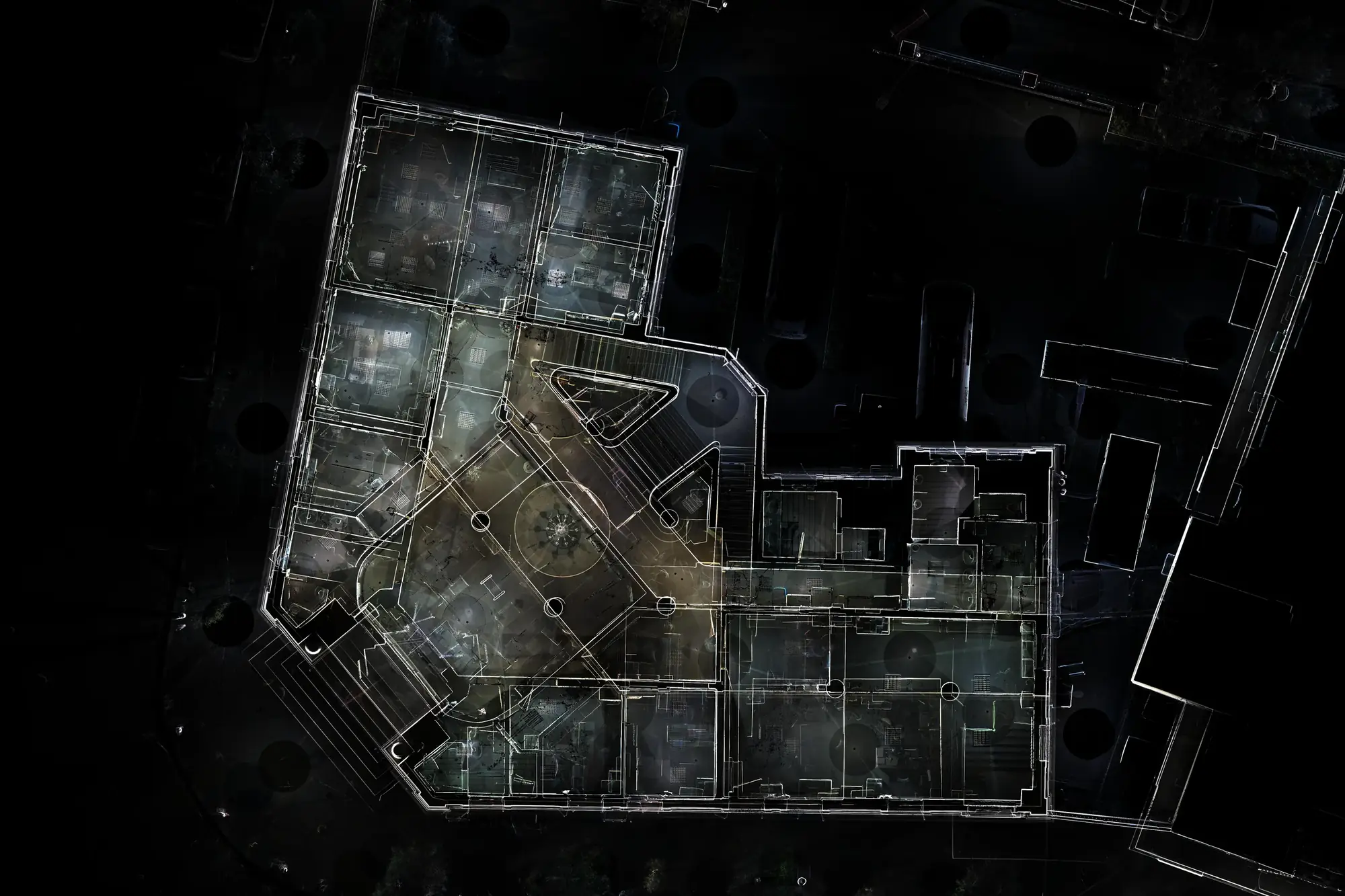
This collection presents point-cloud datasets produced by XYZ across a range of architectural, heritage, construction, infrastructure, and international projects. Each point cloud represents a detailed digital record of a physical environment captured through 3D laser scanning, LiDAR, photogrammetry, or a combination of technologies. The collection demonstrates the diversity of spaces documented by XYZ, from individual interiors and façades to complex buildings, historic monuments, urban areas, and large-scale sites. These datasets form the foundation for BIM models, architectural drawings, analysis, visualization, preservation, and project coordination.
Client challenge
What the project needed to make possible.
Highly varied physical environments and project scales needed to be captured and organized as dependable spatial datasets for different downstream uses.
XYZ scope
Methodology
Select the appropriate capture method for each physical environment
Record geometry through laser scanning, LiDAR, photogrammetry, or combined workflows
Register, clean, and organize the resulting spatial information
Prepare datasets for their intended modeling, drawing, analysis, or visualization use
Deliverables + technology
Publicly described deliverables
- Registered point-cloud datasets
- Architectural and heritage spatial records
- Production-ready sources for BIM and drawings
- Datasets for analysis, visualization, preservation, and coordination
Technology and methods
- 3D laser scanning
- LiDAR
- Photogrammetry
- Point-cloud processing
GEOGRAPHIC INFORMATION
- Spatial extent
- Multiple architectural, heritage, construction, infrastructure, and international sites
- Coordinate system
- Not publicly disclosed
- Verification
- Collection scope supplied by XYZ; individual project locations vary
- Data sources
- 3D laser scans · LiDAR · Photogrammetry · Combined capture workflows
GIS layers and mapped-asset counts are omitted when they are not verified for public release.
Related services
XYZ · PROJECT INTAKE
Need a similarly integrated project workflow?
Share the site, context, source information, and required outcome. XYZ will help define the right capture, production, and delivery structure.
Discuss Your Project